Cyclone Mocha reaches Category 5 intensity
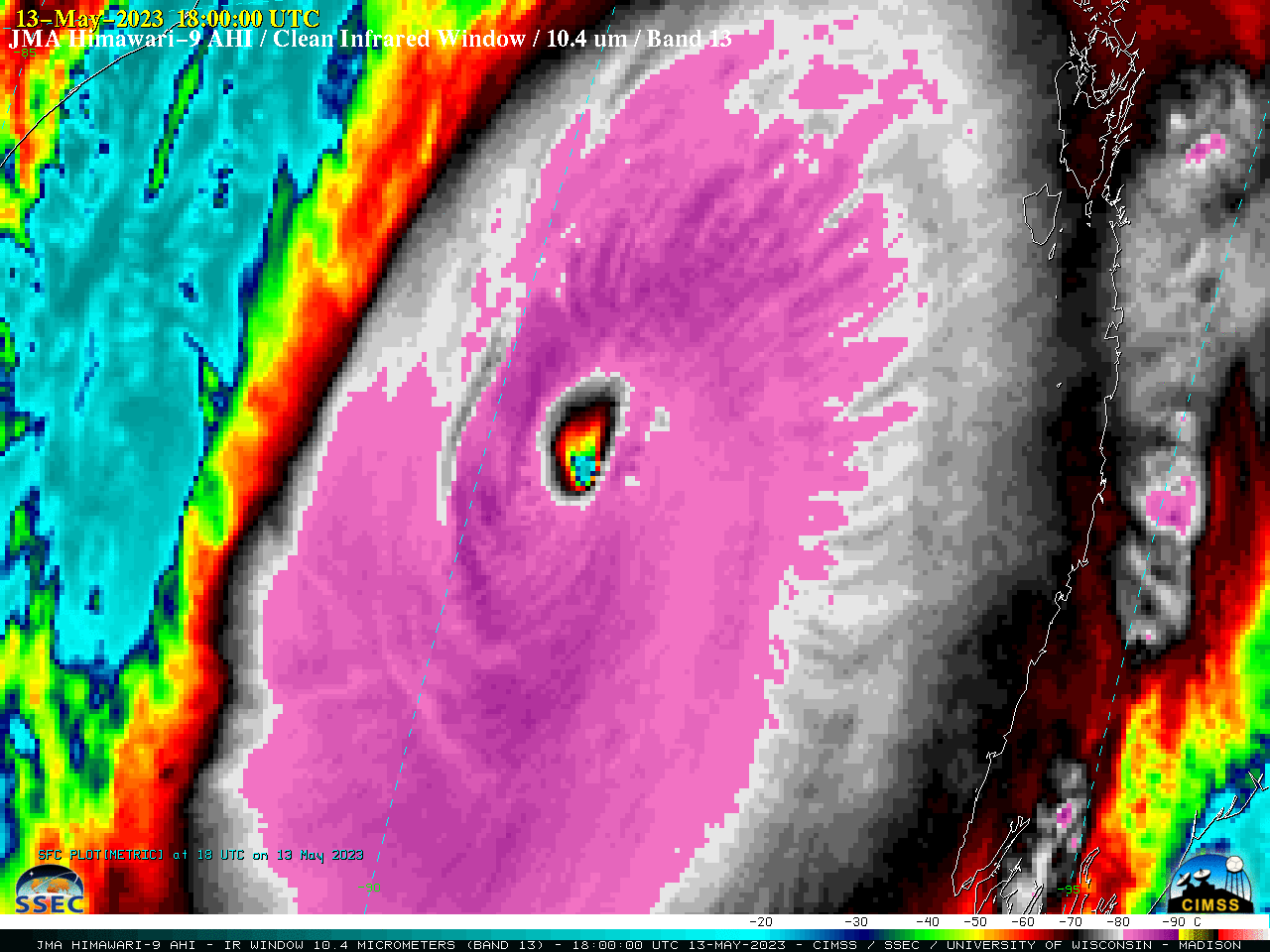
JMA Himawari-9 Infrared Window (10.4 µm) images [click to play animated GIF | MP4]
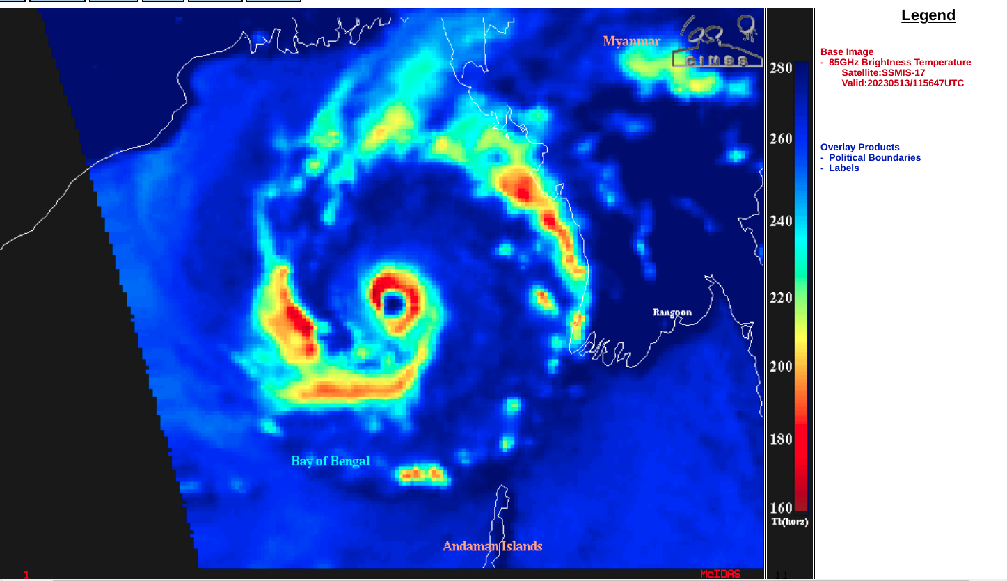
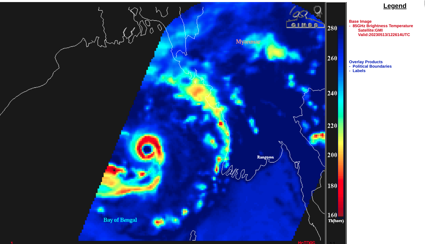
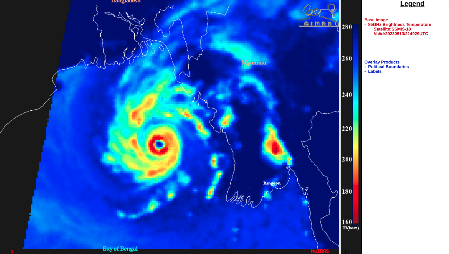
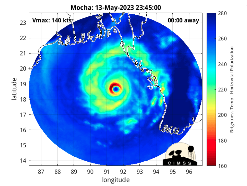
A sequence of DMSP and GMI Microwave (85 GHz) images from the CIMSS Tropical Cyclones site (below) showed snapshots of an eyewall that became more well defined during the day.
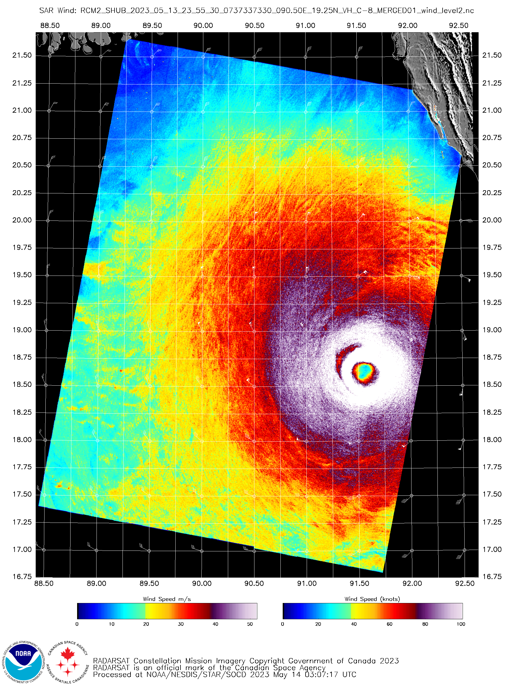
The MIMIC-TC product (below) shows the 48-hour period of Mocha’s approach toward and landfall in Myanmar. Near the time that Mocha was classified at a Category 5 tropical cyclone, a Synthetic Aperture Radar (SAR) image from the RADARSAT Constellation Mission 2 (RCM-2) satellite at 2355 UTC (source) is shown below — the peak SAR wind of 136.24 knots was found in the NW quadrant of Mocha. Several hours after reaching its peak intensity as a Category 5 storm, JMA Hmawari-9 Visible and Infrared images (below) showed Mocha making landfall along the coast of Myanmar just after 0800 UTC on 14 May, at Category 4 intensity.
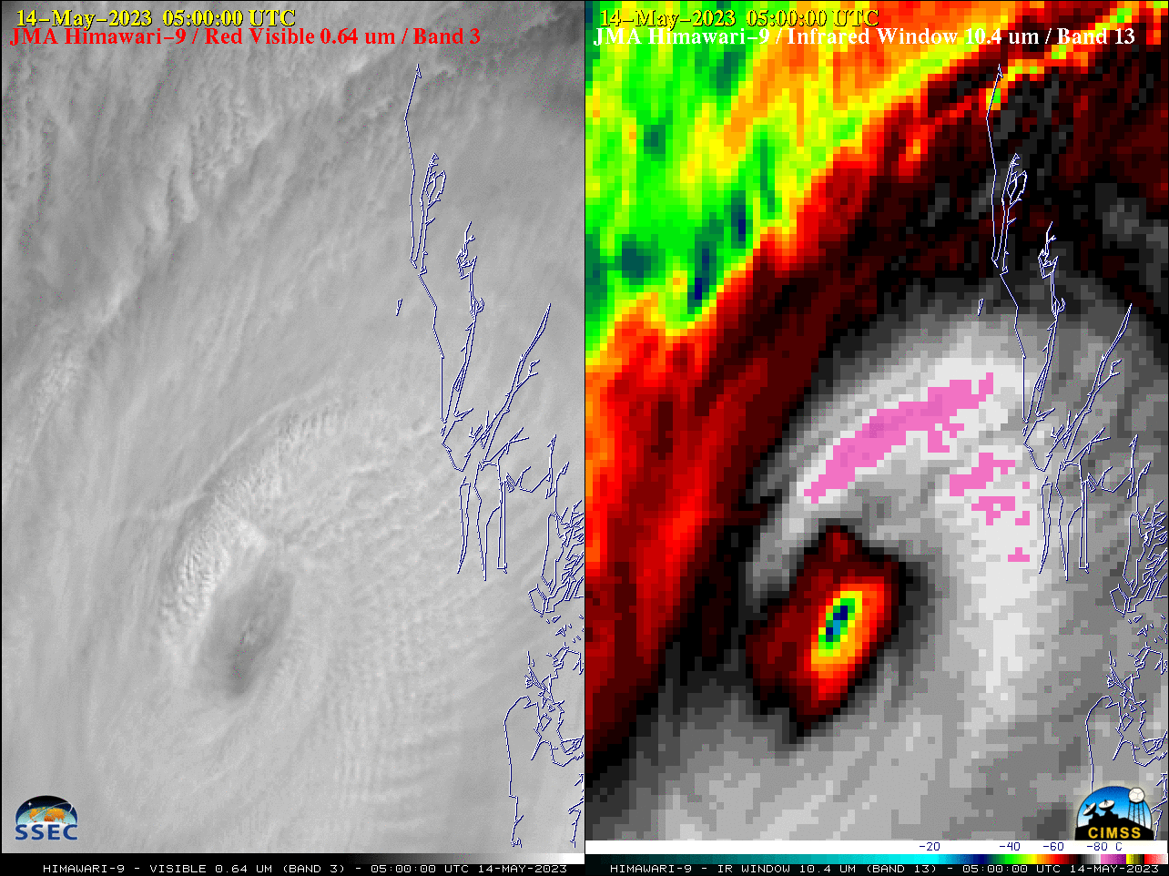
JMA Hmawari-9 “Red” Visible (0.64 µm, left) and “Clean” Infrared Window (10.4 µm, right) images [click to play animated GIF | MP4]


