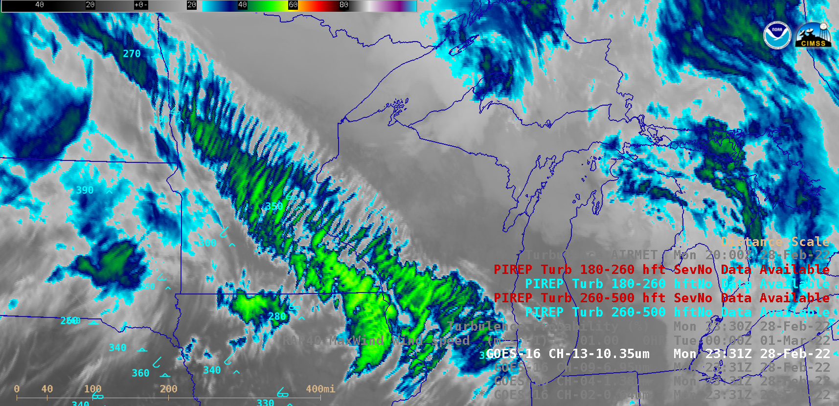
Turbulence associated with transverse cloud banding

GOES-16 “Red” Visible (0.64 µm), Near-Infrared “Cirrus” (1.38 µm), Mid-level Water Vapor (6.9 µm) and “Clean” Infrared Window (10.3 µm) images [click to play animated GIF]
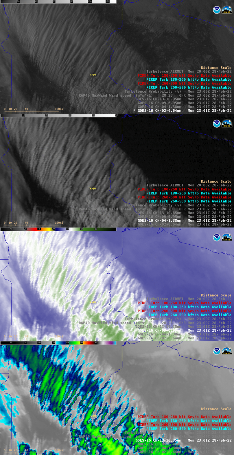
A closer view of the transverse banding over Minnesota and Wisconsin at 2301 UTC is shown below.

GOES-16 “Red” Visible (0.64 µm), Near-Infrared “Cirrus” (1.38 µm), Mid-level Water Vapor (6.9 µm) and “Clean” Infrared Window (10.3 µm) images at 2301 UTC [click to enlarge]

GOES-16 Near-Infrared “Cirrus” (1.38 µm) images, with contours of RAP40 model Maximum Wind isotachs plotted in yellow [click to enlarge]

