Typhoon Tiffany makes landfall in Australia
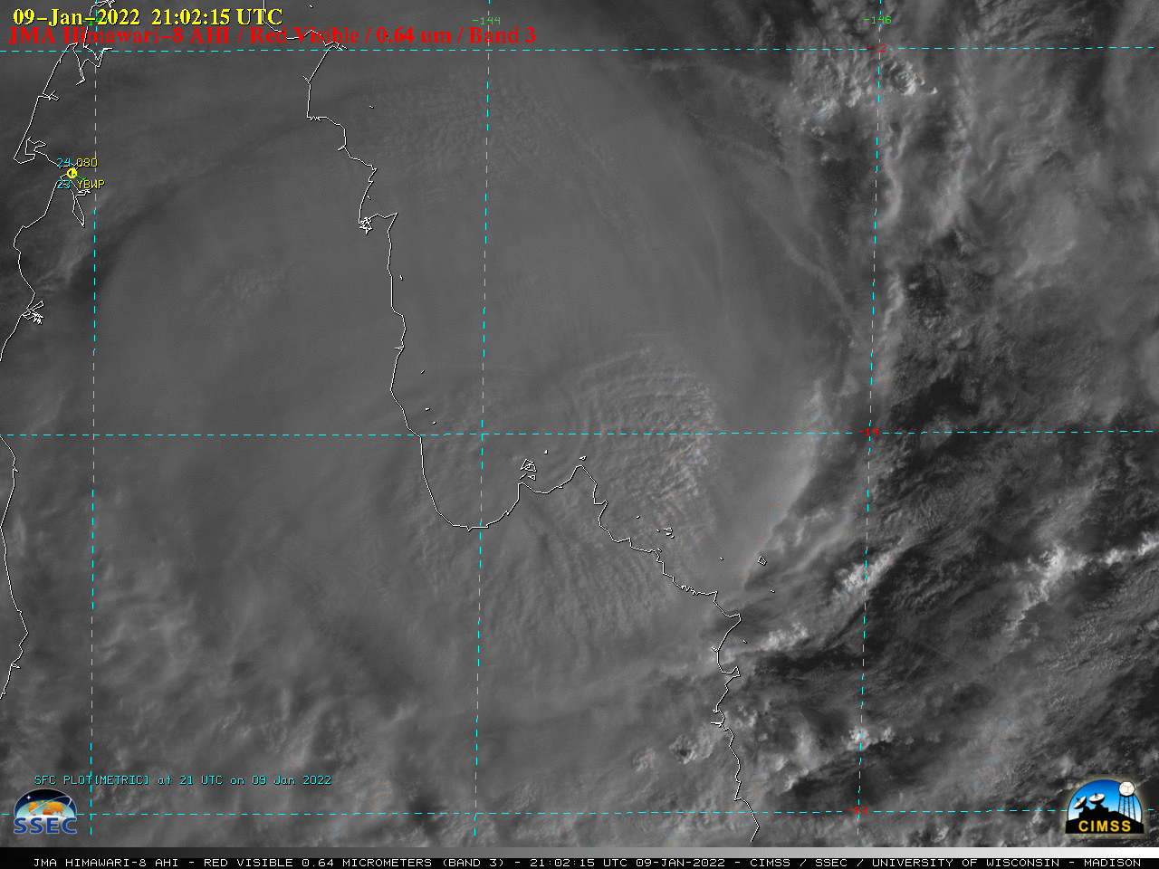
JMA Himawari-8 Visible (0.64 µm) images [click to play animated GIF | MP4]
JMA Himawari-8 Visible (0.64 µm) images (above) showed Tropical Cyclone Tiffany as it made landfall along the eastern coast of the Cape York Peninsula in Queensland, Australia on 09 January 2022. [UPDATE: just prior to making landfall around 0130 UTC on 10 January, Tiffany intensified to a Category 1 typhoon (JTWC discussion)].
A longer animation of Himawari-8 Infrared (10.4 µm) images (below) revealed pulses of overshooting tops which exhibited cloud-top infrared brightness temperatures in the -90 to -95°C range.
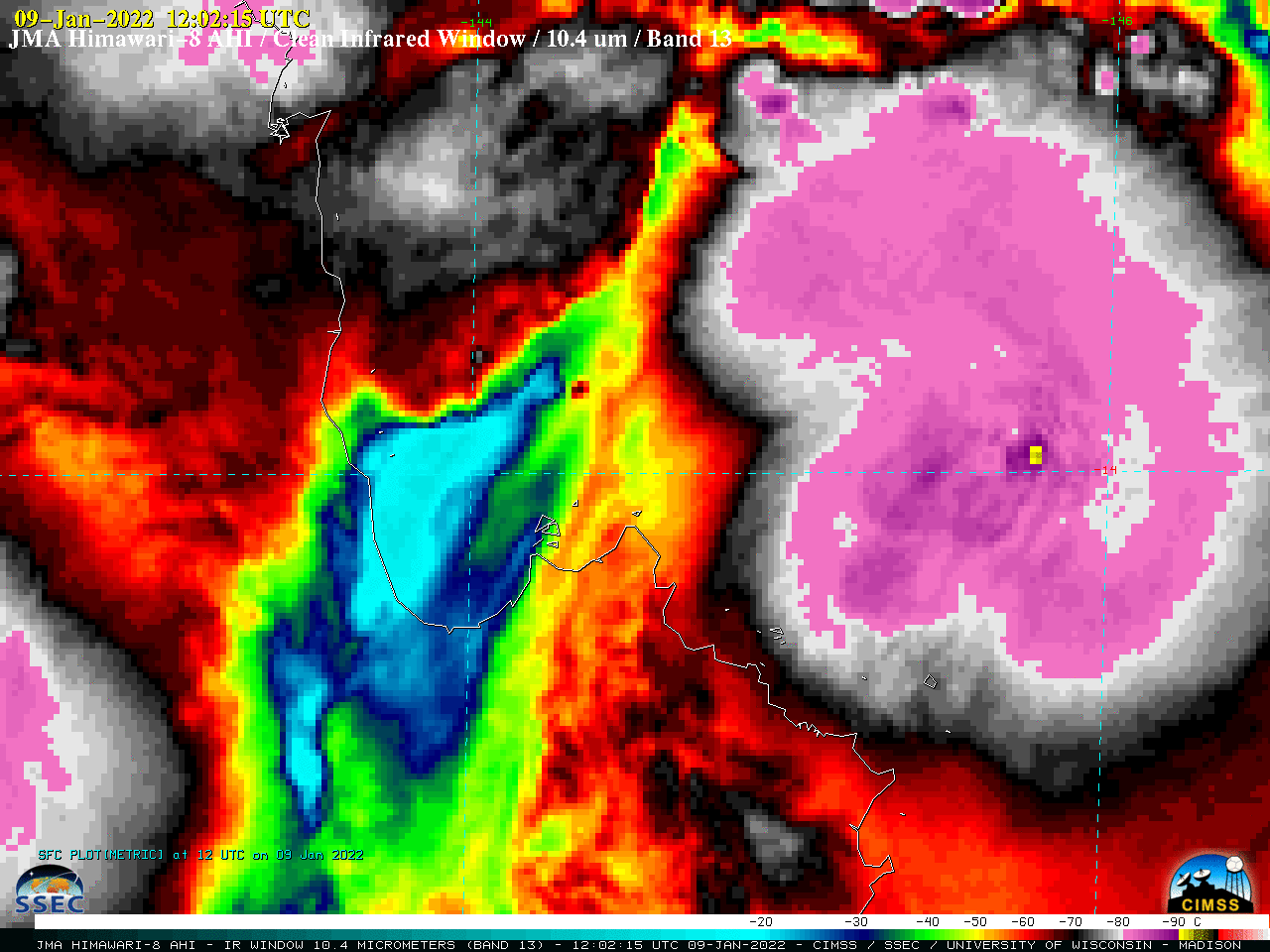
JMA Himawari-8 Infrared (10.4 µm) images [click to play animated GIF | MP4]
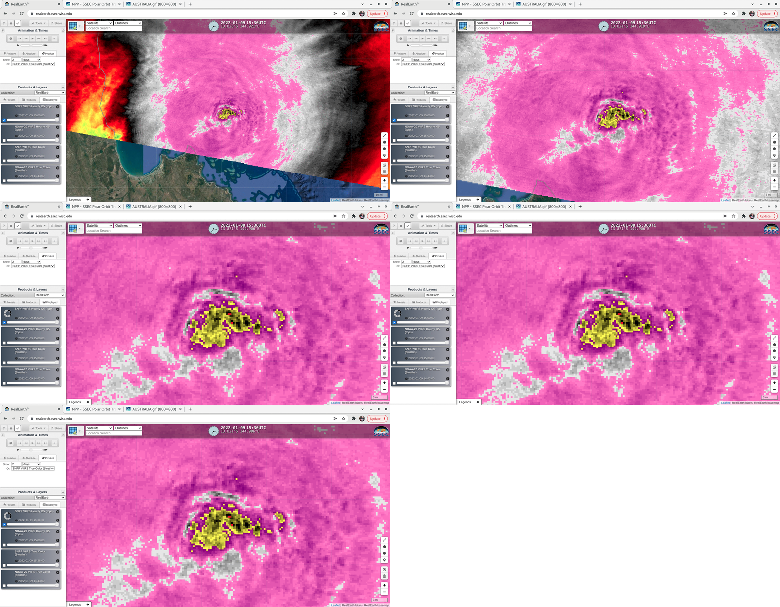
A stepped sequence of zoomed-in Suomi-NPP VIIRS Infrared (11.45 µm) images at 1517 UTC, viewed using RealEarth (below) showed a few red pixels — which highlighted cloud-top infrared brightness temperatures of -100°C or colder.
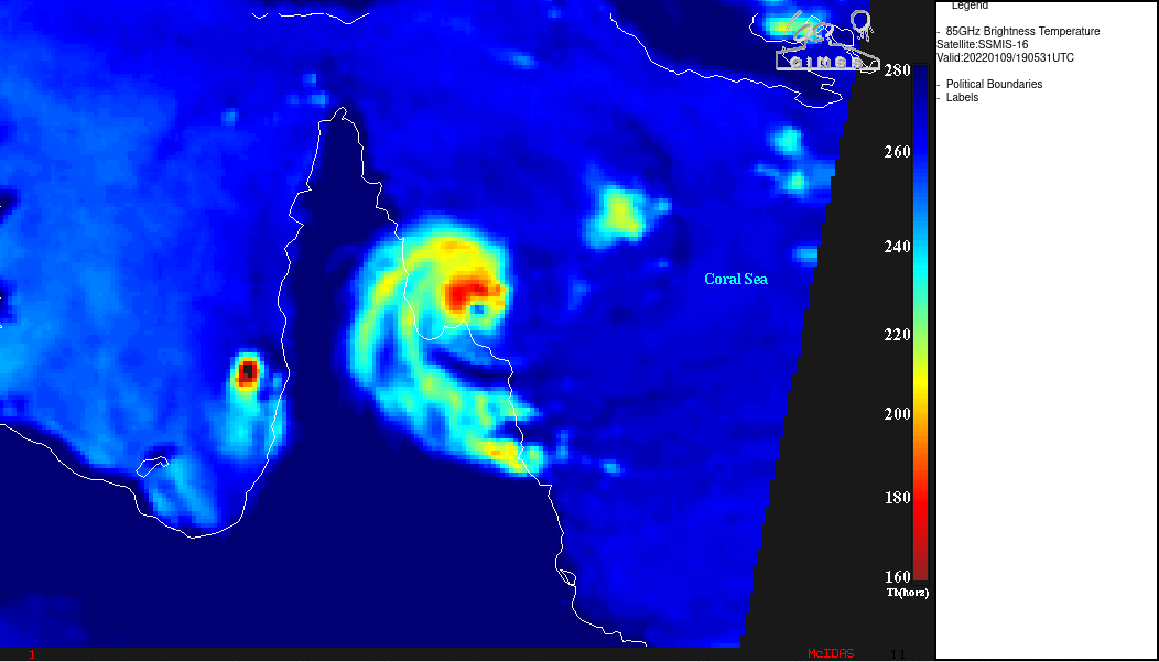
DMSP-16 SSMIS Microwave (85 GHz) imagery from the CIMSS Tropical Cyclones site (below) showed convection wrapping around a very small eye feature at 1905 UTC.
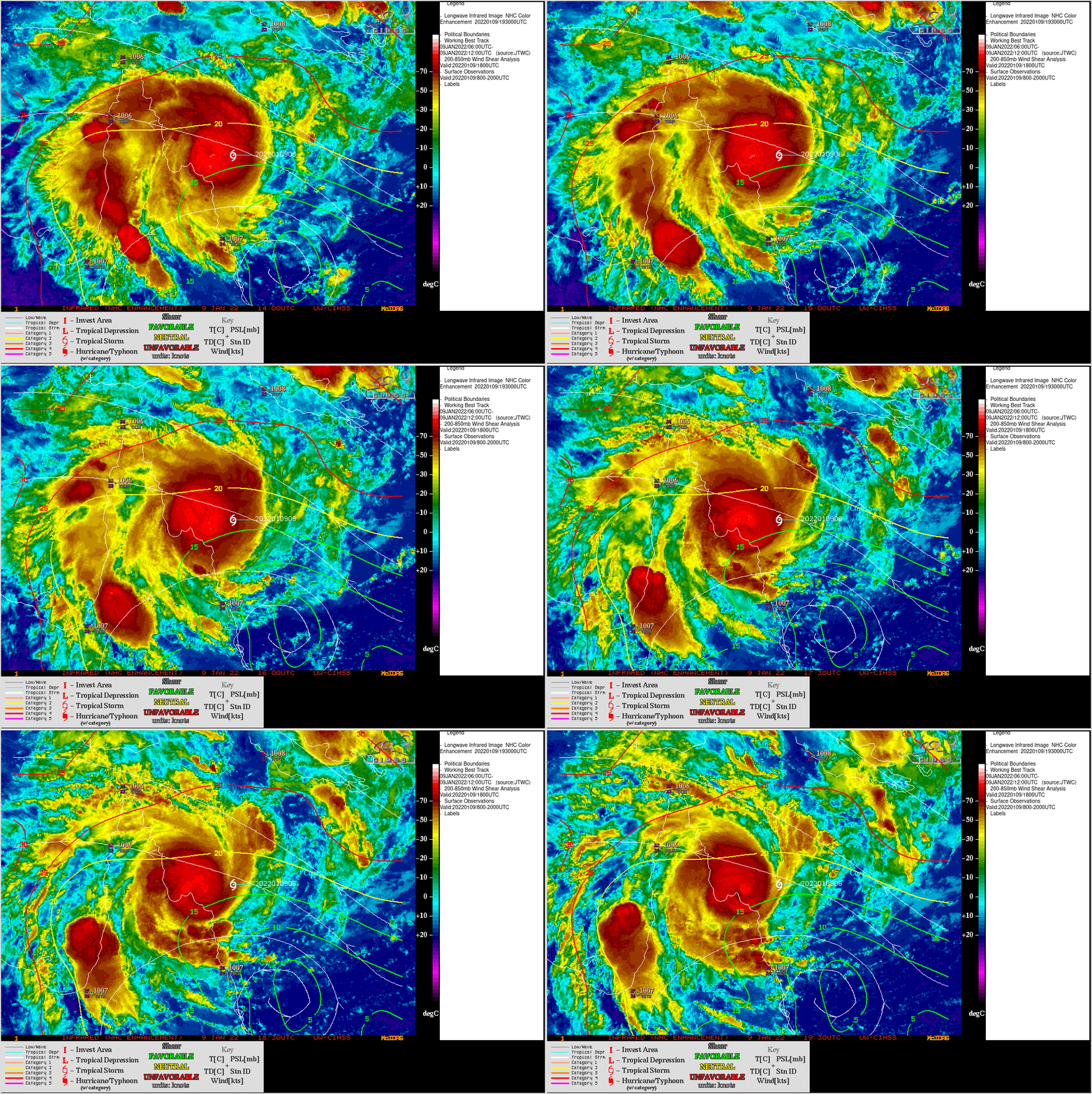
Himawari-8 Infrared images with contours of deep-layer wind shear (below) indicated that Tiffany was moving through an environment of light to moderate shear.


