More thick smoke from the Georgia/Florida fires
GOES-12 visible imagery from 11 May 2007 (above; Java animation) shows the very thick areas of smoke resulting from ongoing fire activity in Georgia and Florida. Strong winds around the periphery of the remnants of Subtropical Storm Andrea continued to create an environment favorable for fire growth. A few convective bursts near the center of the tropical depression were evident during the day, but the convection remained disorganized and weak.
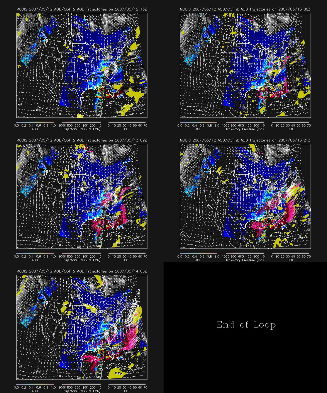
The highest concentration of smoke (MODIS true color image) was within a west-to-east oriented zone of diffluence where winds were generally weaker (across the eastern Gulf of Mexico and southern Florida). This smoke remained in that general region on the following day (12 May), and IDEA trajectories (below) indicated that a slow transport of this thick smoke would continue to gradually disperse it during the subsequent 24-48 hour period.


