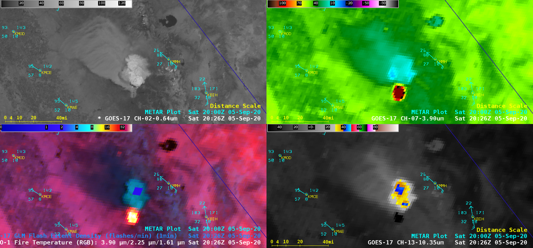
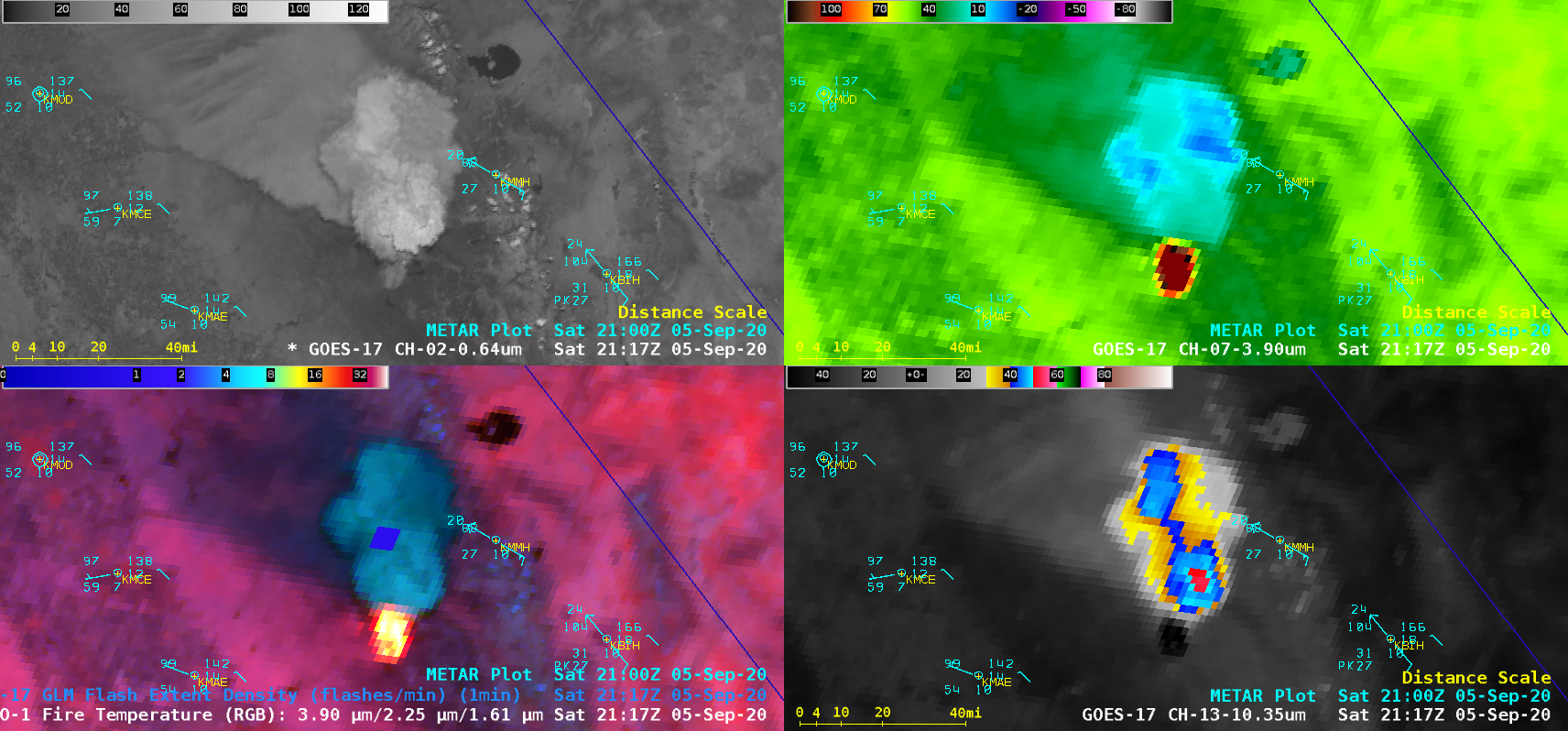
Pyrocumulonimbus cloud spawned by the Creek Fire in California

GOES-17 “Red” Visible (0.64 µm, top left), Shortwave Infrared (3.9 µm, top right), Fire Temperature RGB + GLM Flash Extent Density (bottom left) and “Clean” Infrared Window (10.35 µm, bottom right) [click to play animation | MP4]
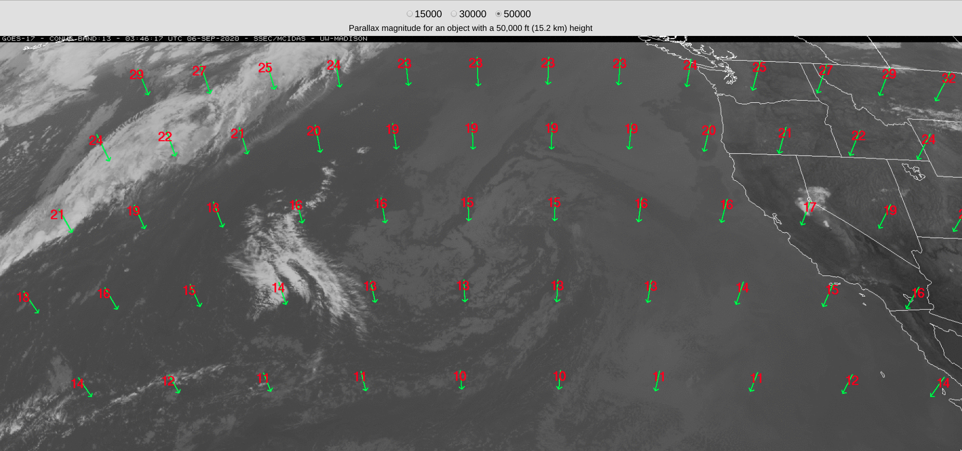
A comparison of time-matched Infrared Window images of the Creek Fire pyrocumulonimbus cloud from Suomi NPP (SNPP) and GOES-17 (below) highlighted differences in spatial resolution — 375-m with SNPP, vs 2-km (at satellite sub-point) with GOES-17 — and parallax displacement inherent with GOES-17 imagery at that location (17 km for a 15.2-km tall cloud top). The coldest cloud-top infrared brightness temperatures were -71.0ºC with SNPP, vs -55.5ºC with GOES-17. Identical color enhancements were applied to both images.
![Infrared Window images from Suomi NPP and GOES-17 [click to enlarge]](https://cimss.ssec.wisc.edu/satellite-blog/images/2020/09/200905_2122utc_suomiNPP_goes17_infrared_CA_pyroCb_anim.gif)
Infrared Window images from Suomi NPP (11.45 µm) and GOES-17 (10.35 µm) [click to enlarge]
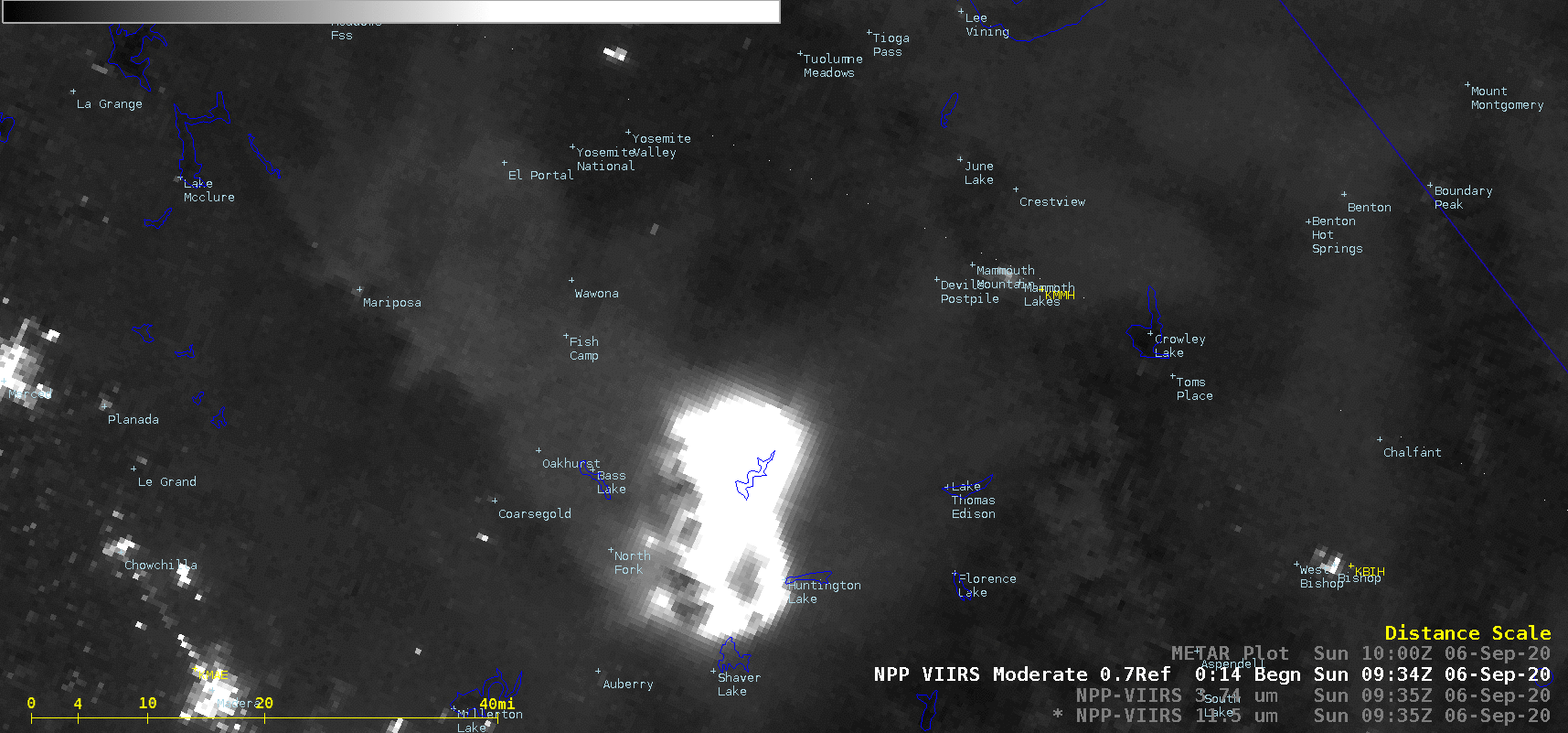
Suomi NPP VIIRS Day/Night Band (0.7 µm), Shortwave Infrared (3.74 µm) and Infrared Window (11.45 µm) images [click to enlarge]
Scientists believe the pyrocumulonimbus that took shape over the Creek Fire could be the biggest ever produced above U.S. soil.
?: @SweetBrown_Shug https://t.co/PoqFVkKYSy pic.twitter.com/CmMDxh6yU6
— San Francisco Chronicle (@sfchronicle) September 10, 2020