Tropical Storm Claudette
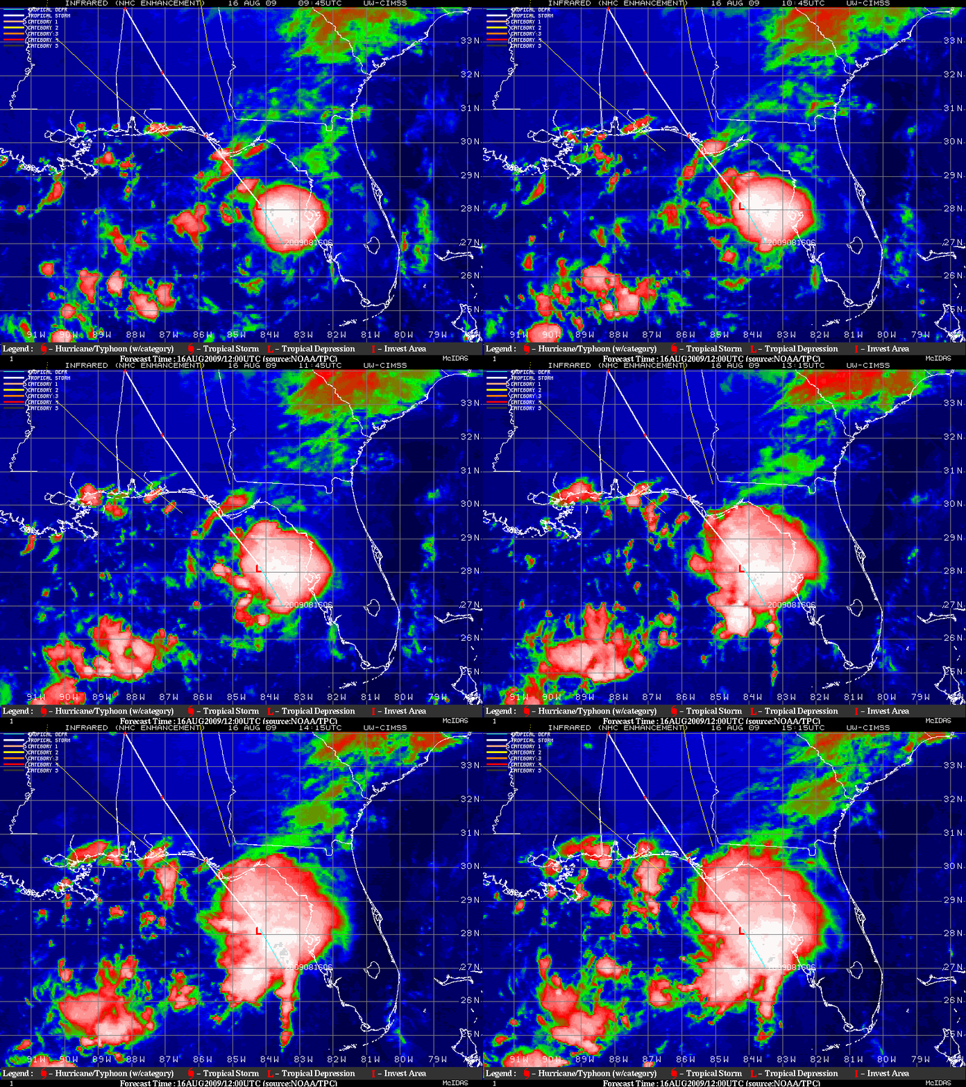
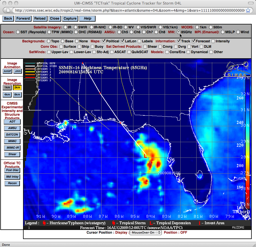
GOES-12 IR images from the CIMSS Tropical Cyclones site (above) showed that Tropical Storm Claudette intensified fairly quickly during the morning hours on 16 August 2009, with the areal coverage of cold cloud tops increasing rapidly during the 09-15 UTC time period. A DMSP SSM/IS 85 GHz microwave image at 13:02 UTC (below) revealed the formation of convectiove banding within the eastern semicircle of the storm.
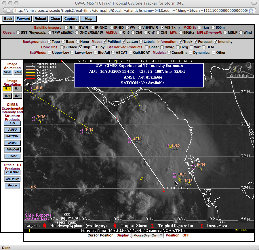
While there was a report of 40 knot winds from a Carnival Cruise Line vessel to the northeast of the center of Claudette (below), this wind report was probably not representative of the winds at the surface (due to the large size of the ship and the height of the wind measuring equipment).
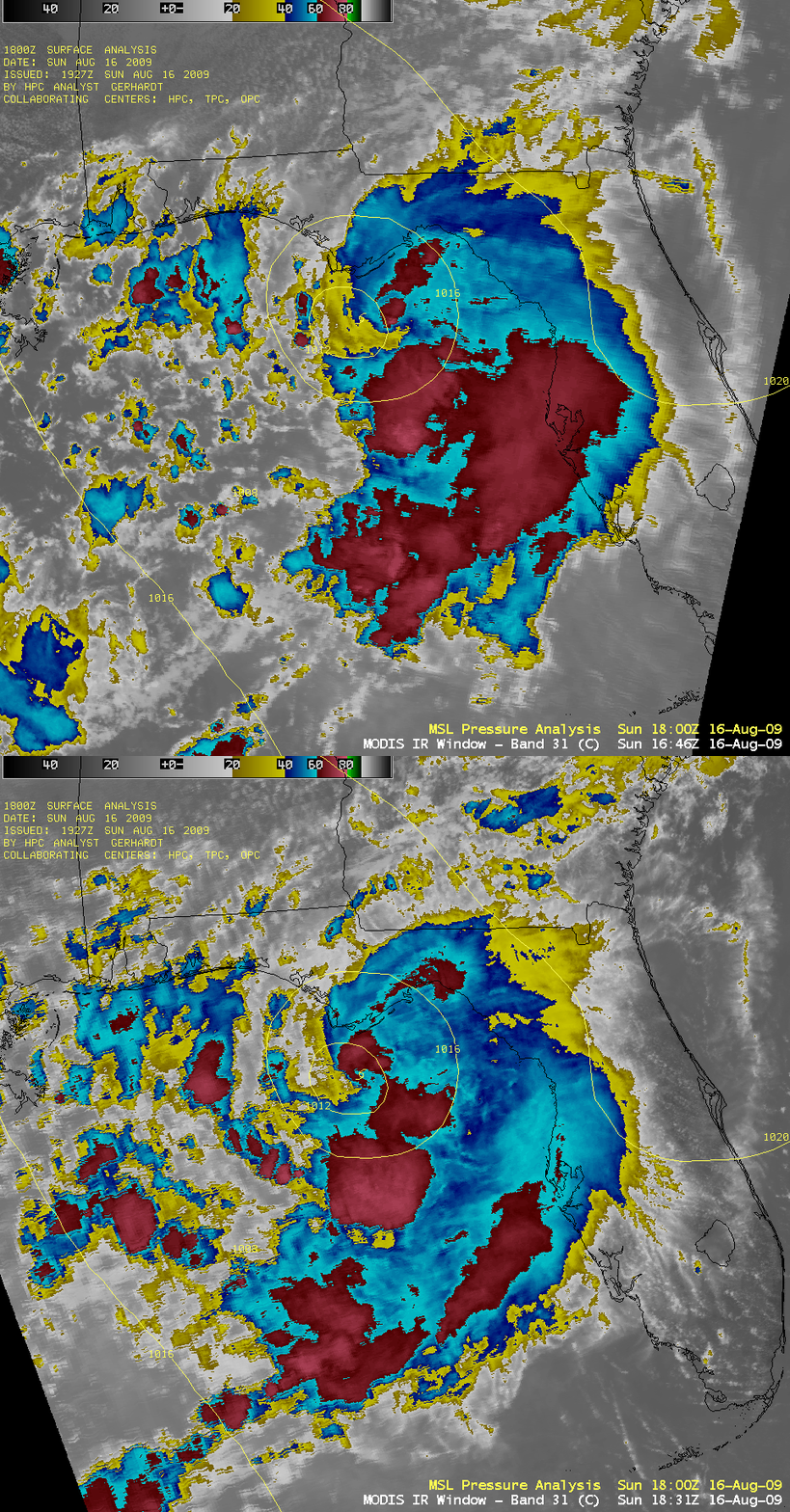
AWIPS images of the MODIS 11.0 µm IR channel (below) revealed cloud top brightness temperatures as cold as -76º C (lighter red color enhancement) south of the center of Claudette during the late morning and early afternoon hours.


