Tropical Storm Gordon
![NOAA-20 Day/Night Band (0.7 µm) and Infrared Window (11.45 µm) images [click to enlarge]](https://cimss.ssec.wisc.edu/satellite-blog/wp-content/uploads/sites/5/2018/09/180903_0636utc_noaa20_DayNightBand_InfraredWindow_ptc7_anim.gif)
NOAA-20 VIIRS Day/Night Band (0.7 µm) and Infrared Window (11.45 µm) images at 0636 UTC [click to enlarge]
![Suomi NPP VIIRS Day/Night Band (0.7 µm) and Infrared Window (11.45 µm) images [click to enlarge]](https://cimss.ssec.wisc.edu/satellite-blog/wp-content/uploads/sites/5/2018/09/180903_0726utc_suomiNPP_DayNightBand_InfraredWindow_ptc7_anim.gif)
Suomi NPP VIIRS Day/Night Band (0.7 µm) and Infrared Window (11.45 µm) images at 0726 UTC [click to enlarge]
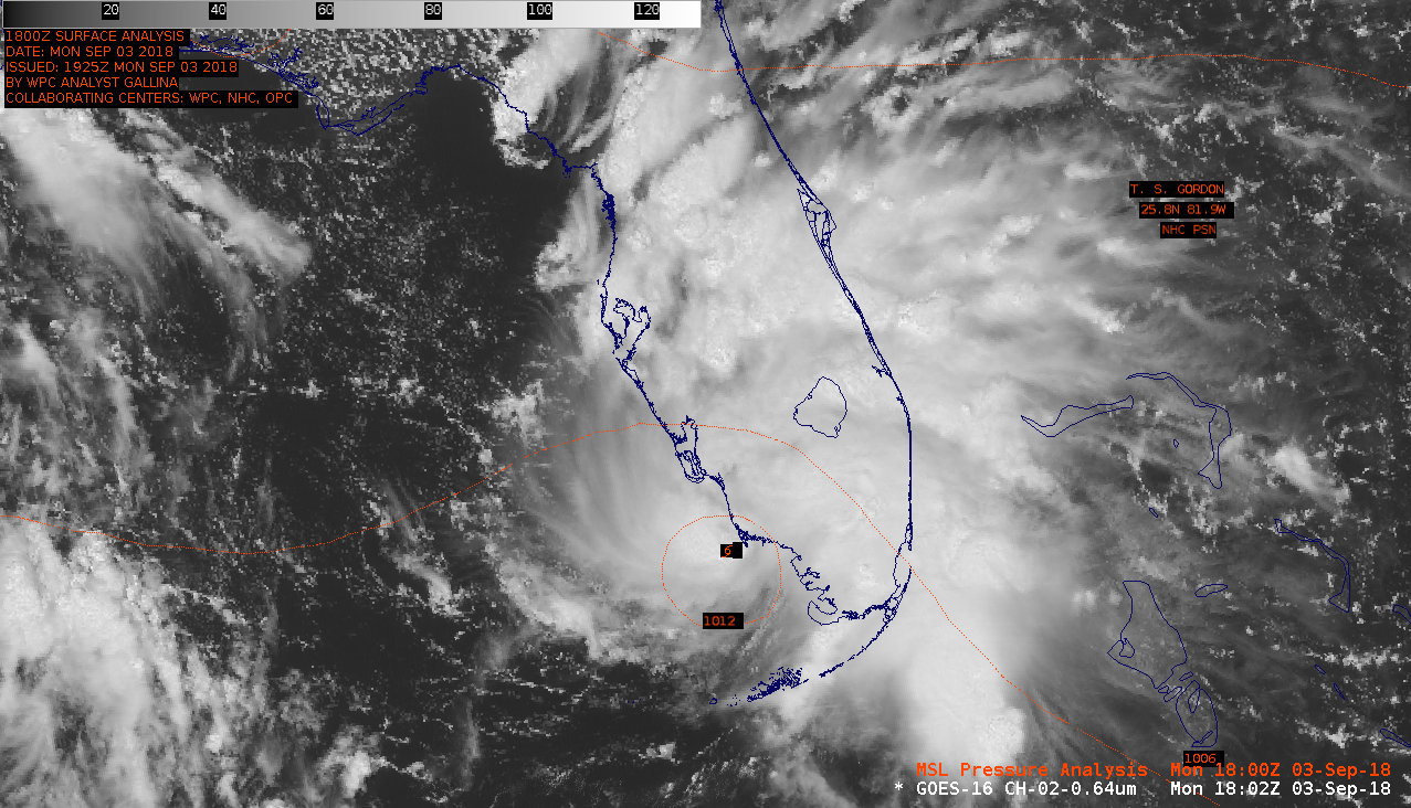
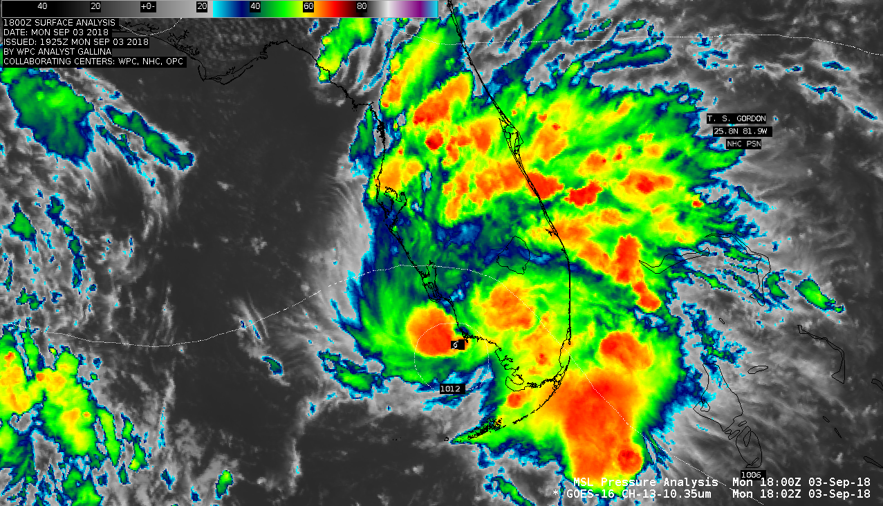
The storm became better organized and increased in intensity, and was named Tropical Storm Gordon at 1205 UTC. Animations of GOES-16 (GOES-East) “Red” Visible (0.64 µm) and “Clean” Infrared Window (10.3 µm) (below) showed Gordon as it moved across far southern Florida (where heavy rain and flash flooding occurred) and into the Gulf of Mexico during the daytime hours.
===== 04 September Update =====
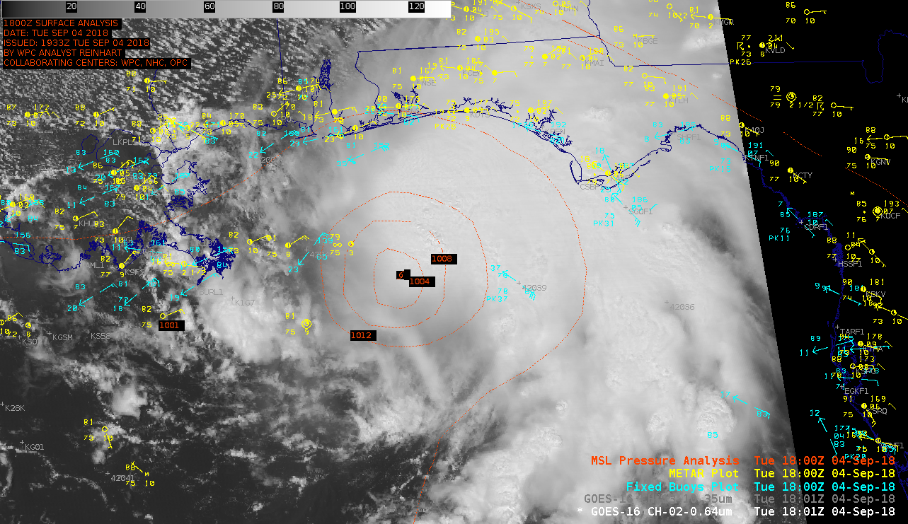
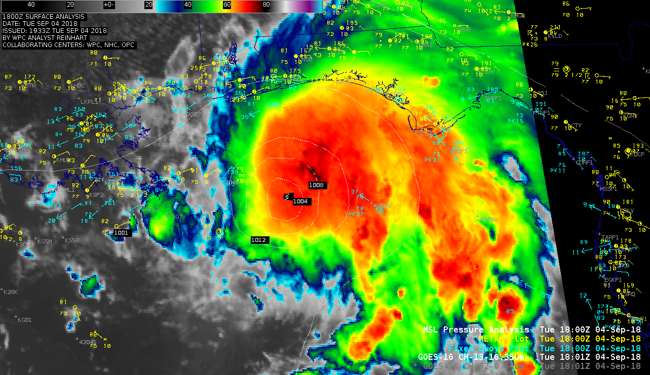
1-minute Mesoscale Domain Sector GOES-16 “Red” Visible (0.64 µm) images (above) and “Clean” Infrared Window (10.3 µm) images (below) showed a series of widespread deep convective bursts within the northeast quadrant of the storm as it moved northeastward toward the Gulf Coast. The GOES-16 Rainfall Rate/QPE product (below) indicated rainfall rates of 2-3 inches per hour were possible from this convection, peaking in the 3-4 inch per hour range just after 1300 UTC. However, Infrared cloud-top brightness temperatures warmed dramatically as the convection moved onshore after about 22 UTC — and the Rain Rate product responded accordingly, with a significant decrease in hourly intensity. Metop-A ASCAT surface scatterometer winds of 39 knots were sampled just northeast of the storm center at 1616 UTC (below).


![GOES-16 Rain Rate product [click to play MP4 animation]](https://cimss.ssec.wisc.edu/satellite-blog/wp-content/uploads/sites/5/2018/09/gordon_rr-20180904_180035.png)
![GOES-16 Rain Rate product with Metop ASCAT winds [click to enlarge]](https://cimss.ssec.wisc.edu/satellite-blog/wp-content/uploads/sites/5/2018/09/gordon_rr_ascat-20180904_161535.png)