Aircraft dissipation trails over the Lake Ontario region
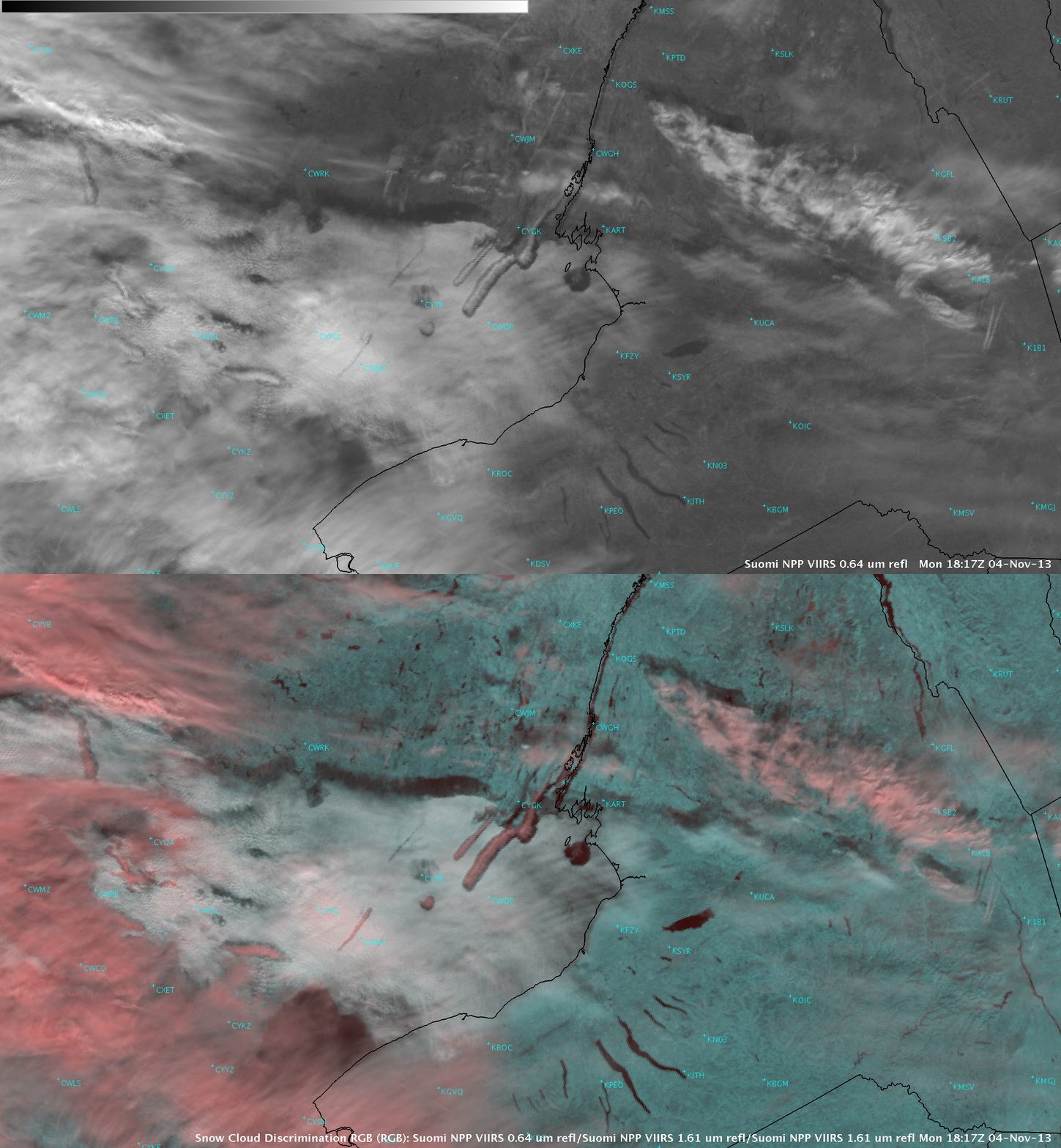
Hat tip to NWS Buffalo NY forecasters Jon Hitchcock and David Zaff for letting us know about a number of aircraft dissipation trails (also known as “distrails” or “hole punch clouds”) over the Lake Ontario region on 04 November 2013. A series of McIDAS images of 1-km resolution GOES-13 Visible (0.63 µm) data (above) showed these features as they drifted eastward during the day.A comparison of AWIPS II images of 375-meter resolution Suomi NPP VIIRS Visible (0.64 µm) visible and the corresponding False Color “Snow Cloud Discrimination” Red-Green-Blue (RGB) at 18:17 UTC (below) indicated that the cloud layer penetrated by aircraft was composed of supercooled water droplets (which appear as brighter shades of white on the RGB image) — but the particles in the aircraft exhaust acted as ice nuclei and caused the cloud to glaciate (ice crystal clouds appear as varying shades of red on the RGB image).
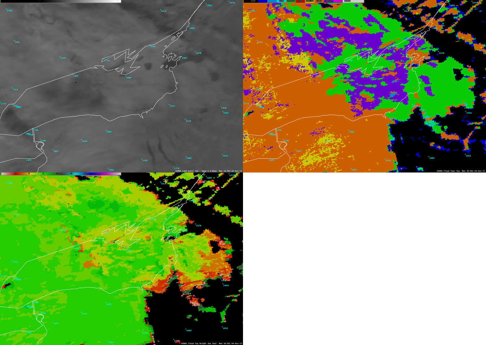
AWIPS images of the POES AVHRR CLAVR-x Cloud Type product confirmed that the cloud layer over the Lake Ontario region was a supercooled water droplet cloud (green color), with the Cloud Top Height product indicating tops in the 7-9 km range (below). However, higher-altitude cirrus clouds were beginning to overspread the region from the west (Cirrus=orange; Thick Ice=yellow; Overlap=violet).


