Uncharacteristically cloud-free and warm across interior Alaska
McIDAS images of GOES-15 0.63 µm visible channel data (above; click image to play animation) revealed an uncharacteristically cloud-free view of most of the interior of Alaska on 17 June 2013. A large blocking ridge of high pressure had been building across the region, which helped to set the stage for record high temperatures at a number of locations — on 16 June many sites reported daily maximum temperatures in the middle to upper 80s F, with a few sites hitting the 90º F mark (regional temperatures and precipitation). In south-central Alaska, several locations set all-time record highs on 17 June.
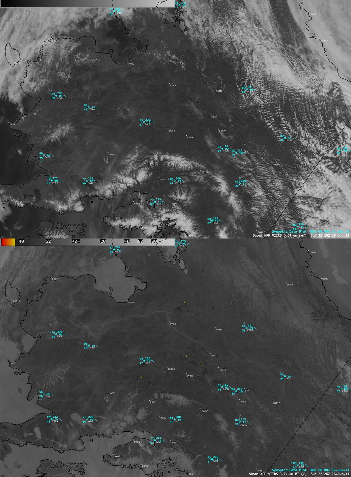
On the previous day, a comparison of AWIPS images of Suomi NPP VIIRS 0.64 µm visible channel and 3.74 µm shortwave IR data (below) showed that the Alaska fire season was well underway, with a number of fire “hot spots” (black to yellow to red color enhancement) appearing on the shortwave IR image; some of these larger fires were producing smoke plumes that could be seen on the visible image. Again, note the unusually warm tempertures at many of the reporting sites. Smoke plumes from a couple of the larger fires could also be seen in southwestern and southeastern Alaska on the animation of GOES-15 visible images above. Closer views of pyrocumulonimbus clouds associated with the largest fires can be seen here.


