Turbulence within a Mesoscale Convective System cirrus outflow region
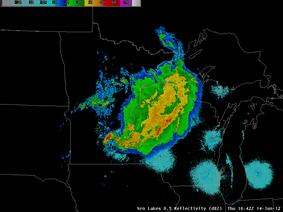
A radar reflectivity composite (above) showed a large Mesoscale Convective System (MCS) that was moving across parts of Minnesota and Wisconsin on 14 June 2012, producing heavy rainfall (2.99 inches at Zumbrota in southeastern Minnesota) and some hail (SPC storm reports).
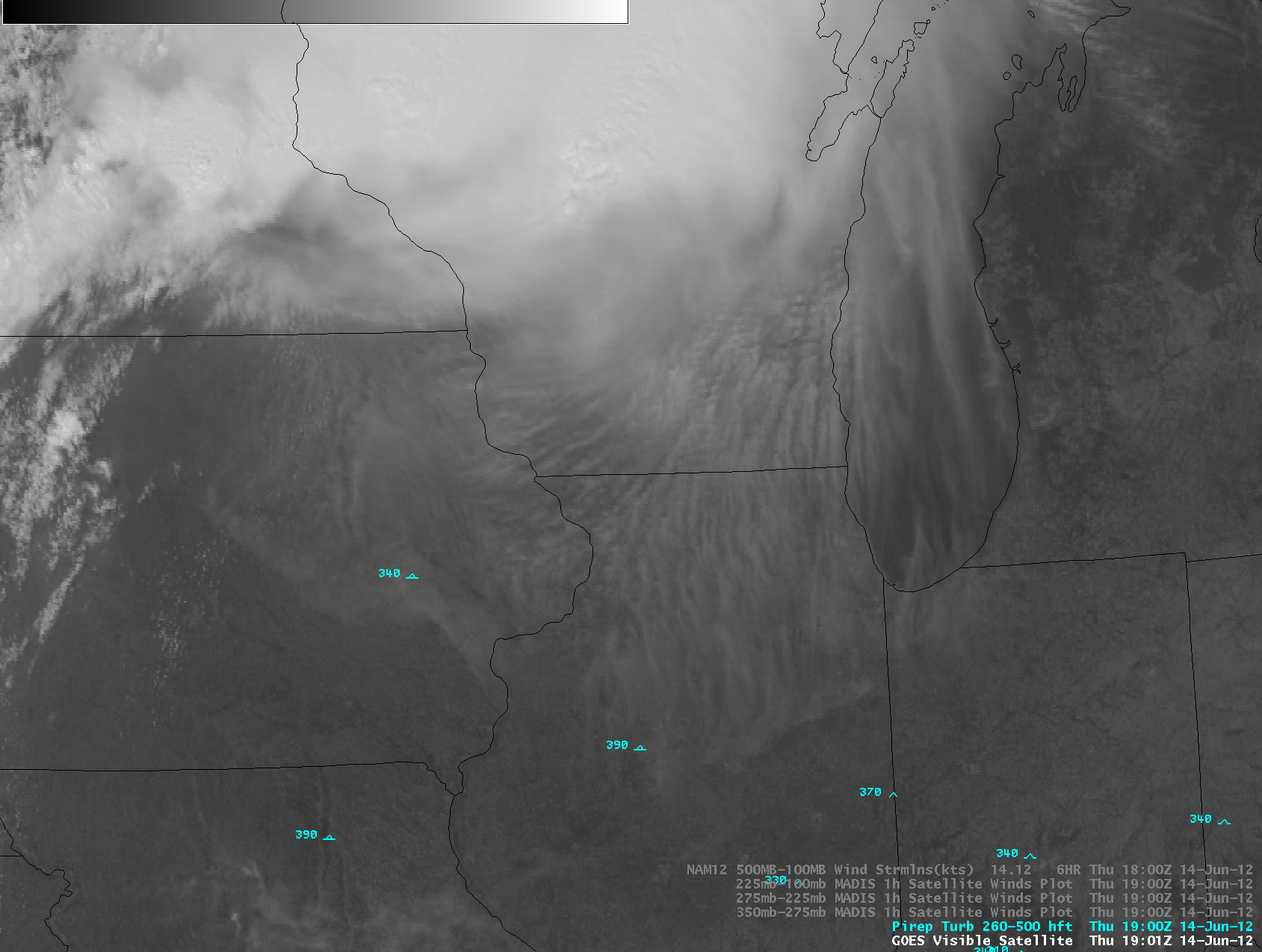
AWIPS images of GOES-13 0.63 µm visible channel data (below; click image to play animation) showed a broad area of anticyclonic cirrus outflow around the southern periphery of the MCS as it was dissipating during the late morning and early afternoon hours. There were a number of pilot reports of moderate turbulence seen within this banded area of cirrus outflow.
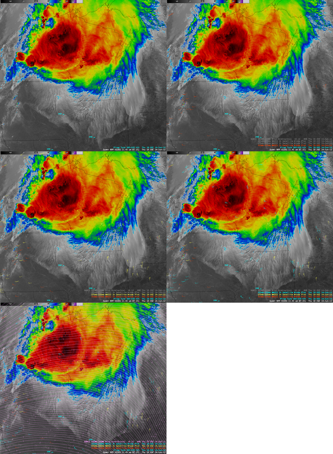
The banding structure within the cirrus outflow region was clearly shown on a 375-meter resolution (re-mapped onto an AWIPS 1 km grid) Suomi NPP VIIRS 11.45 µm IR image at 18:35 UTC (below). A comparison with the corresponding 4-km resolution GOES-13 10.7 µm IR image demonstrated the advantage of higher spatial resolution for depicting such features.
The pronounced anticyclonic motion of the cirrus outflow (also verfied using MADIS 1-hour cloud-tracked winds) was creating strong wind shear aloft over much of eastern Iowa, southern Wisconsin, and northern Illinois — note how different the satellite wind vector directions were from the NAM 500-100 hPa deep-layer wind flow streamlines over that region (below). This strong wind shear aloft may have been a factor contributing to the numerous pilot reports of moderate turbulence within the area of cirrus outflow.
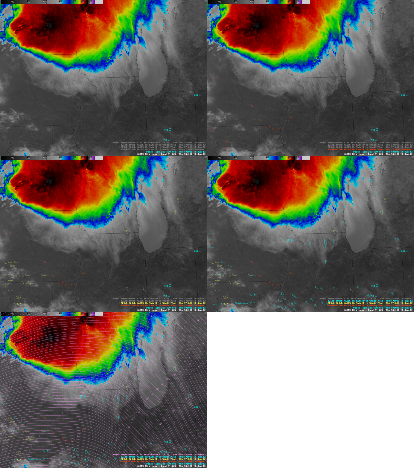
A similar depiction of the pronounced wind shear aloft was seen a few hours earlier on a 16:40 UTC MODIS 11.0 µm IR image (below).


