Bertha becomes a hurricane
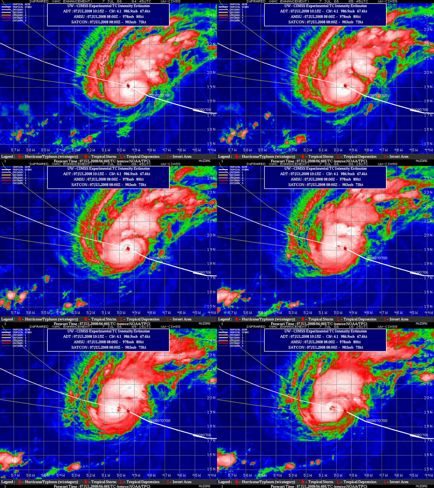
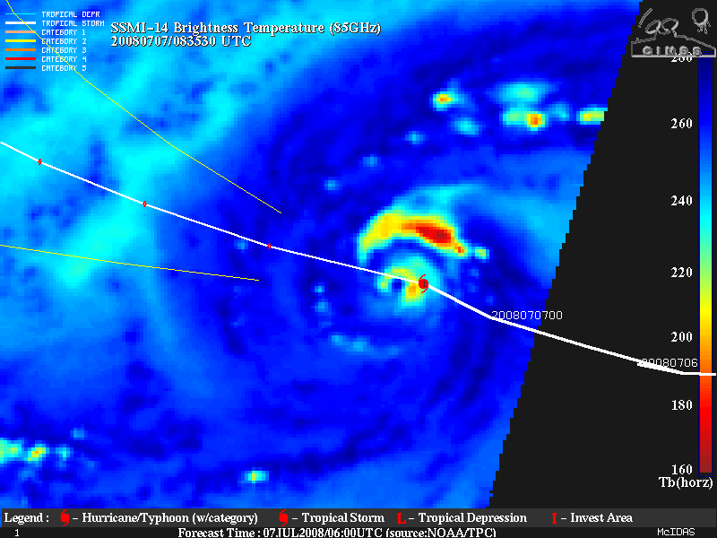
Hurricane Bertha became the first hurricane of the season in the Atlantic Basin on 07 July 2008, setting a new record for the furthest-east named storm formation in the tropics. GOES-12 IR images from the CIMSS Tropical Cyclones site (above) showed increasing coverage of cold cloud top temperatures and the formation of an eye; microwave imagery from the polar-orbiting SSM/I instrument (below) began to show better evidence of an eye structure a few hours before the geostationary satellite imagery.
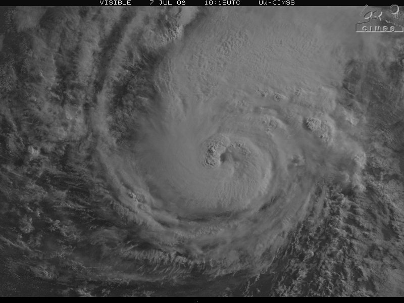
GOES-12 visible imagery (below) showed a closer view of the forming eye of the hurricane.
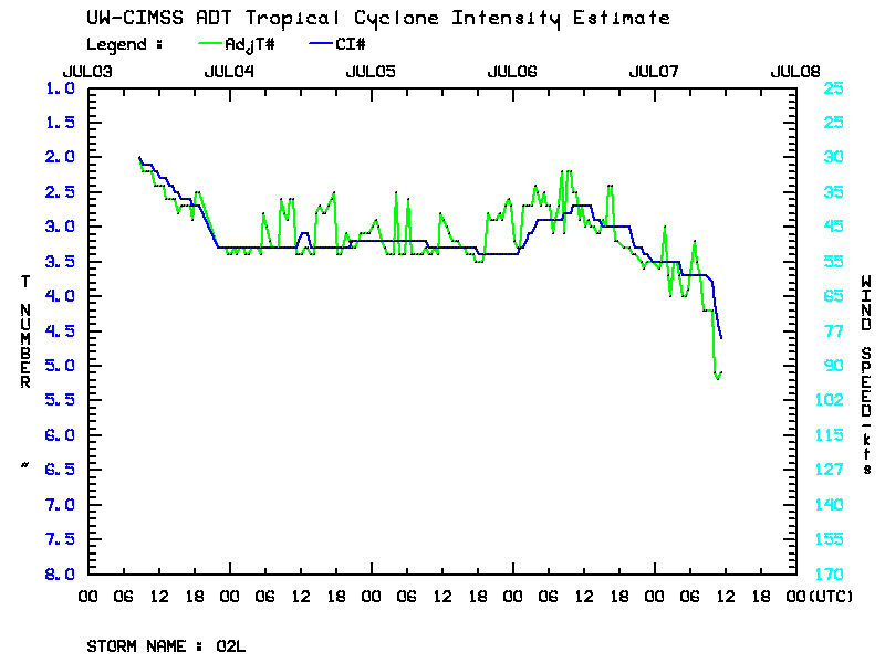
A plot of the CIMSS Advanced Dvorak Technique intensity estimate (below) showed that Bertha began a period of more rapid intensification during the early morning hours of 07 July.
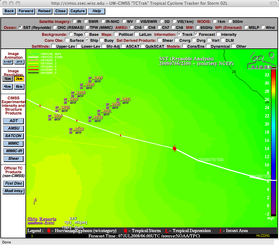
Bertha had been moving northwestward over increasingly warmer Sea Surface Temperatures (below), which may have played a role in the intensification of the tropical cyclone.
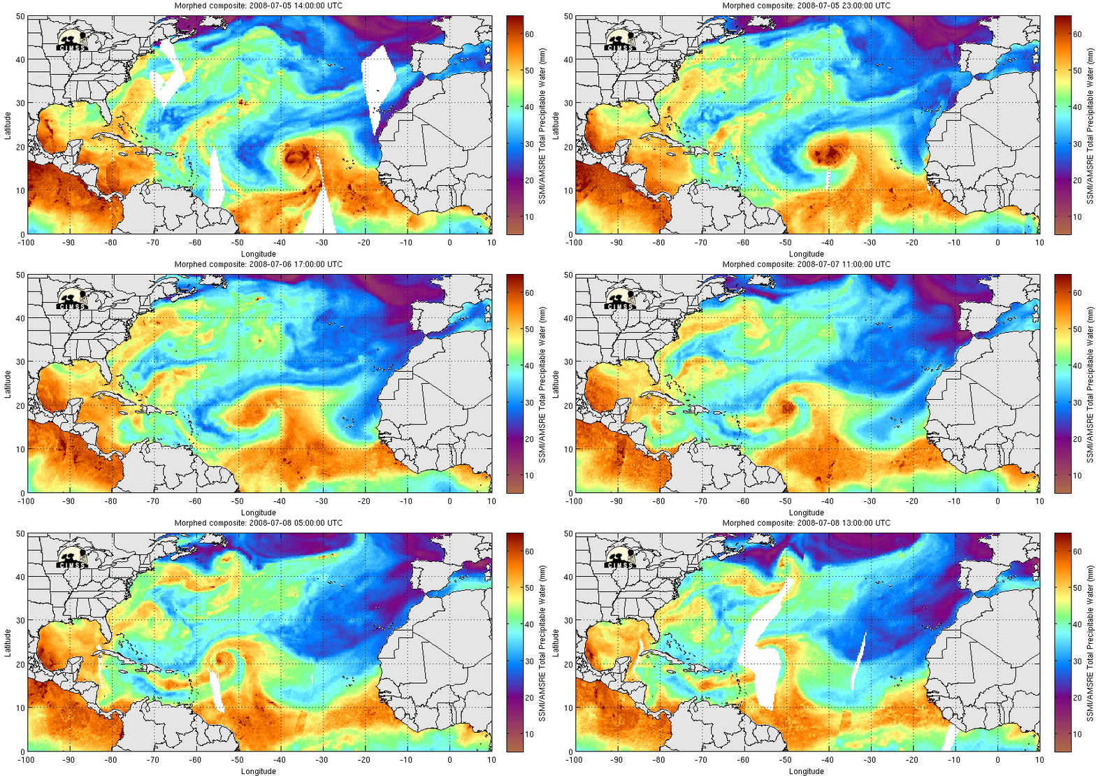
UPDATE: Hurricane Bertha rapidly intensified into a Category 3 storm during the afternoon hours on 07 July, with the CIMSS ADT intensity estimation technique suggesting peak wind speeds near 115 knots. During this period of rapid intensification, Bertha also displayed a nice eye on satellite imagery (QuickTime animations: GOES-12 visible | GOES-12 IR). It is interesting to note that the MIMIC Total Precipitable Water product (below) indicated that dry Saharan Air Layer (SAL) air had wrapped completely around Bertha during the 05-08 July period — the presence of such dry air in close proximity to a tropical cyclone would normally be thought of as a negative factor for rapid intensification!


