Tropical Storm Bolaven forms southeast of the Mariana Islands
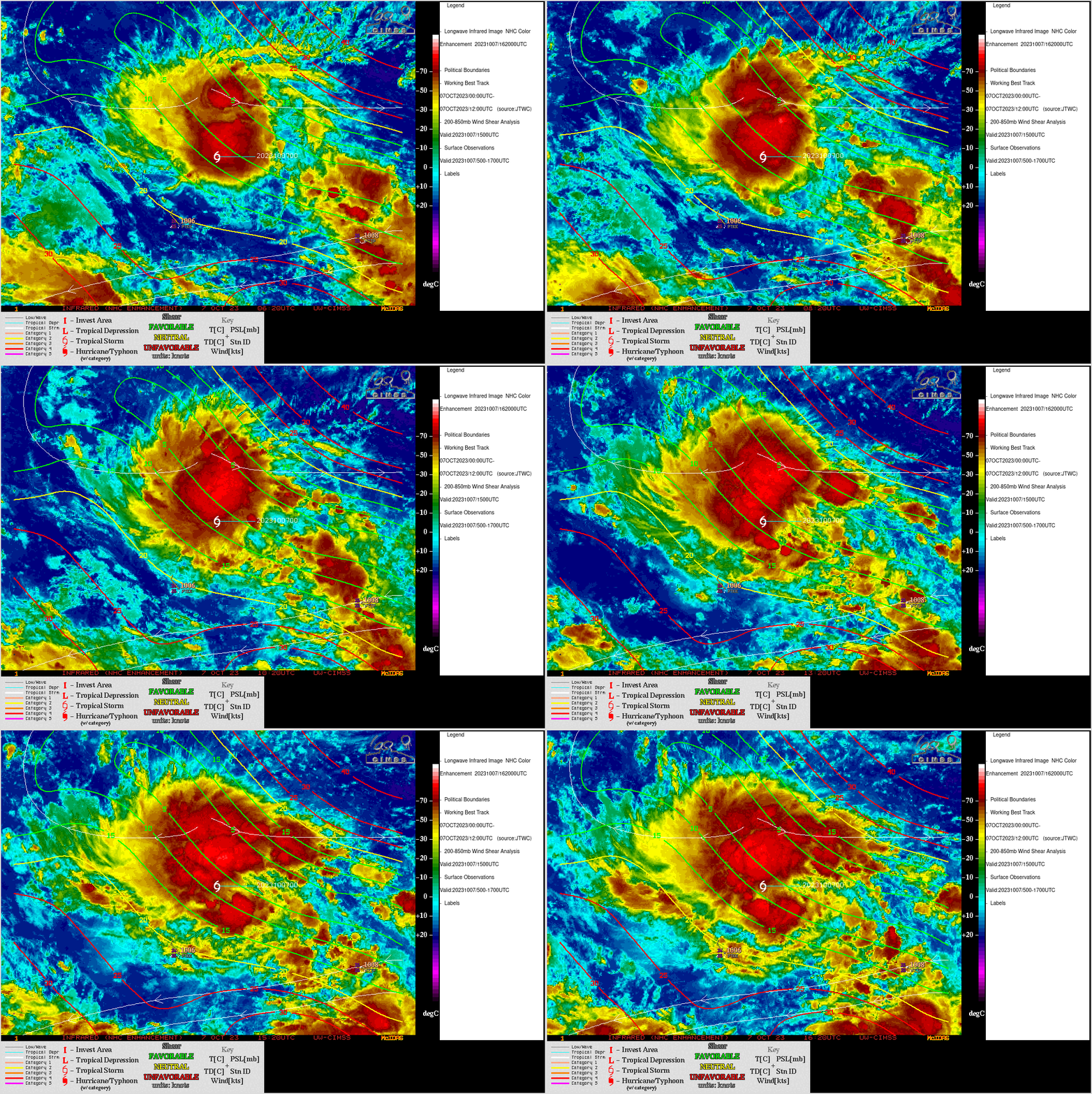
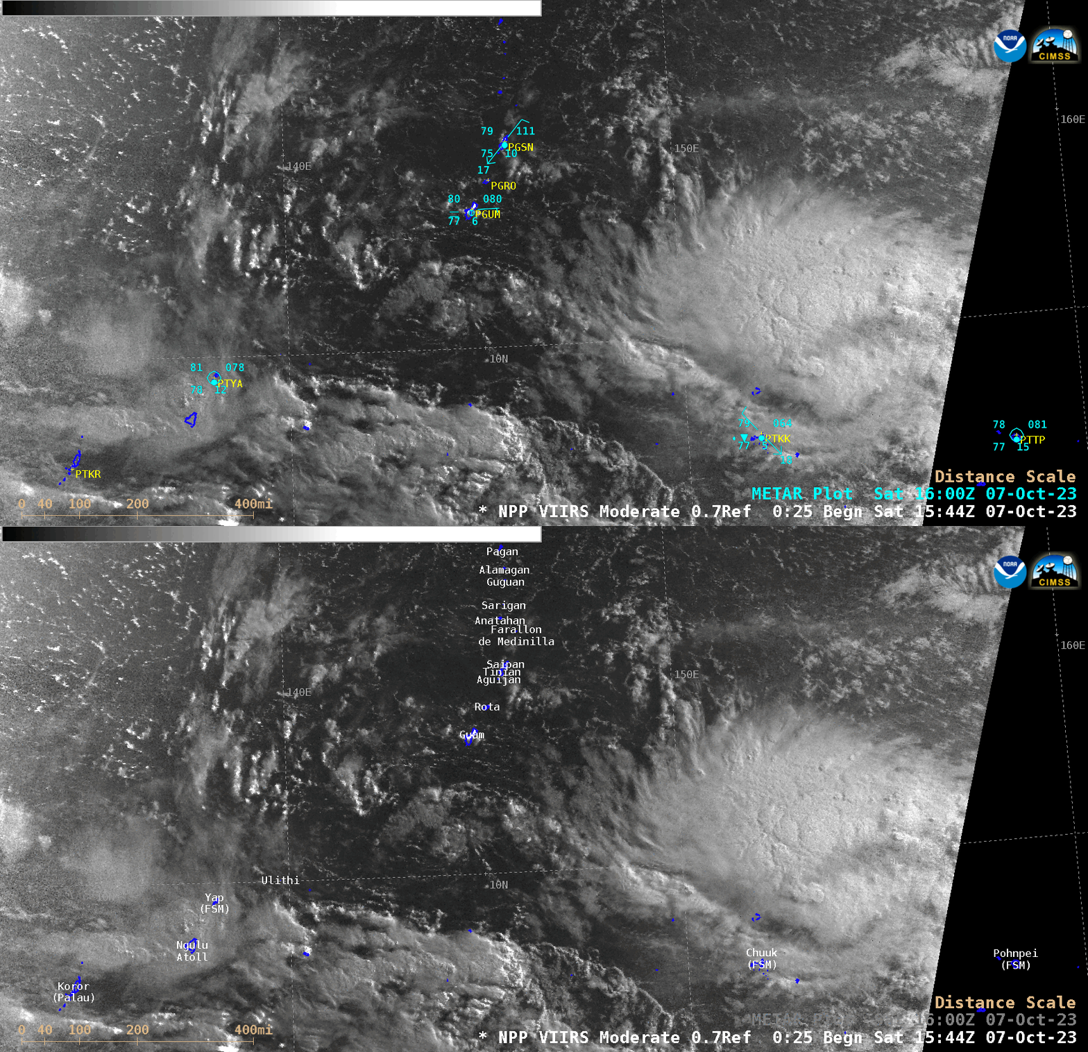
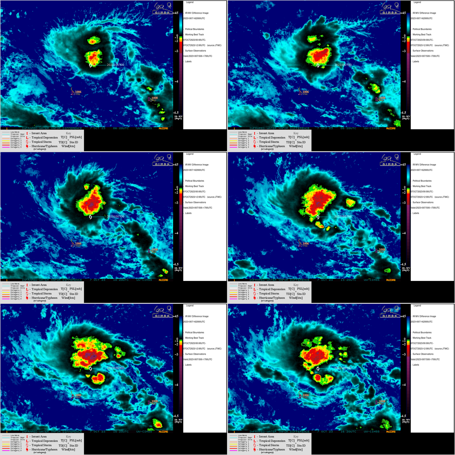
Tropical Storm Bolaven formed southeast of the Mariana Islands at 1200 UTC on 07 October 2023 (about 540 miles southeast of Guam, according to the initial advisory issued by JTWC). With sufficient illumination from the Moon (which was in the Waning Crescent phase, at 41% of Full), a nighttime Suomi-NPP VIIRS Day/Night Band (0.7 µm) image valid at 1625 UTC (above) showed Bolaven as it was centered about 200 miles northeast of Chukk International Airport (METAR identifier PTKK) on Weno Island.JMA Himawari-9 AHI Infrared Window (11.2 µm) images from the CIMSS Tropical Cyclones site (below) showed that Bolaven was moving through an environment of low to moderate deep-layer wind shear — and deep convection was beginning to increase south of the storm center.

JMA Himawari9 Infrared Window (11.2 µm) images, with an overlay of deep-layer wind shear at 1500 UTC [click to enlarge]


