Kompasu skirts to the north of Luzon
Severe Tropical Storm Kompasu moved westward just north of the island of Luzon in the Philippines on 11 October. The Himawari-8 Target Sector clean window infrared (Band 13, 10.4 µm) imagery, above, from 0232 – 1502 UTC (Imagery courtesy JMA; imagery available here), shows deep convection becoming more organized as the storm center moved.
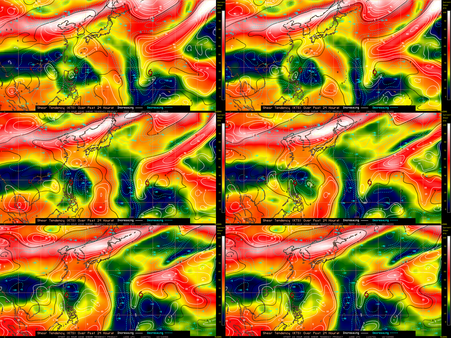
Moderate wind shear that had been affecting Kompasu slowly relaxed in the 24 hours before the storm moved north of Luzon, as shown in the wind shear tendency map shown below (imagery obtained from this link at the CIMSS Tropical Website). Shear over/around the storm has been relaxing.


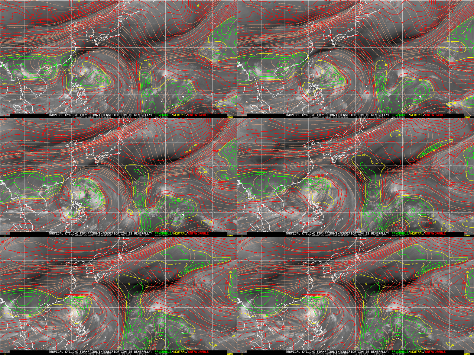
Computed shear (imagery also taken from the CIMSS Tropical Website) is shown in the animation above. Wind shear for both animations above is defined here. A relatively small area of favorable wind shear was near the storm center as Kompasu became better organized in the band 13 imagery above.
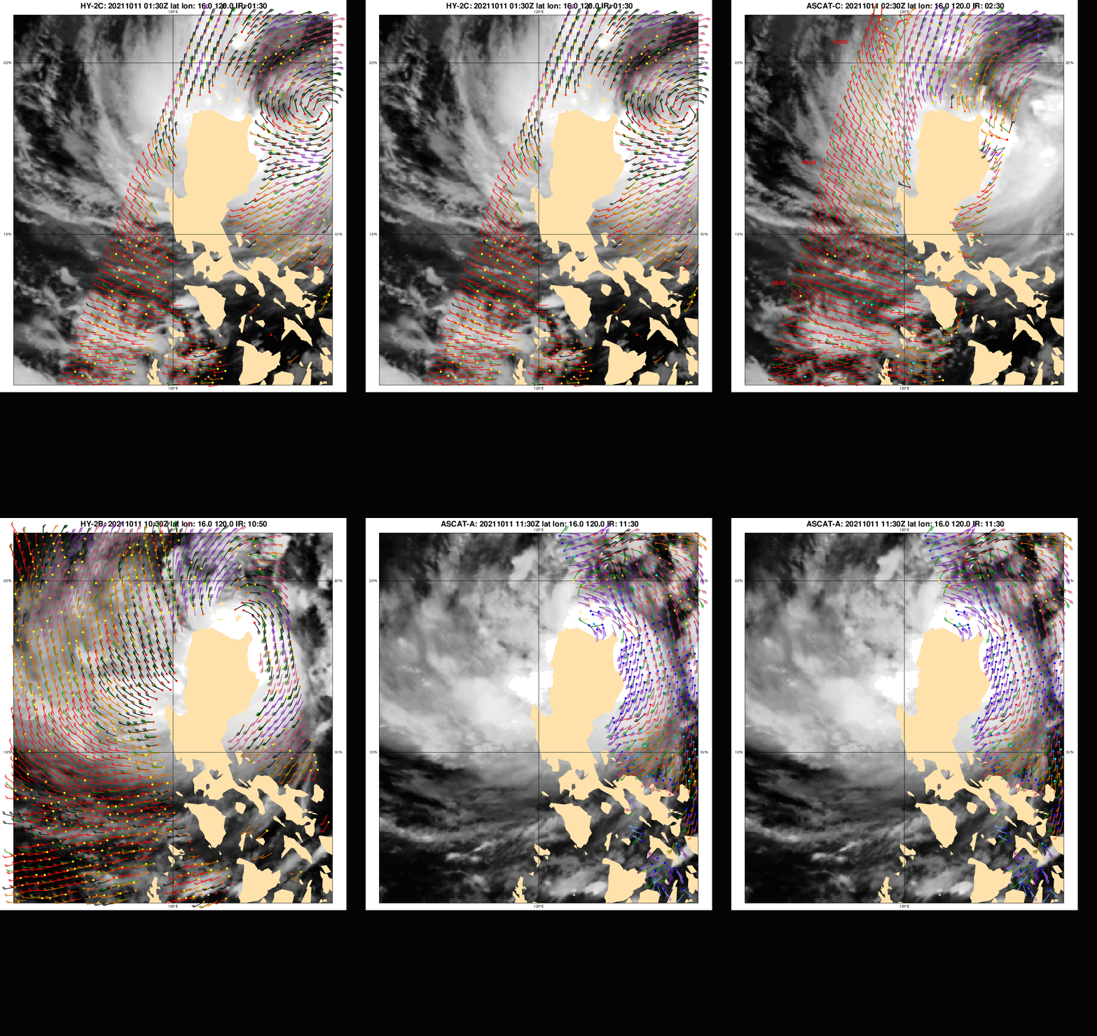
Scatterometry imagery, below, from various satellite platforms at this site, tracked the system’s motion from 0100 to 1130 UTC on 11 October, as it moved north of Luzon.

Kompasu is forecast to move due west across the South China Sea in the next days, affecting the island of Hainan on the 13th before 1200 UTC. (Forecast, from JTWC; Here is a similar plot from JMA). Wind shear is not forecast to relax further in the next days so significant stregthening is not forecast.

