Tropical Storm Fred makes landfall in Florida

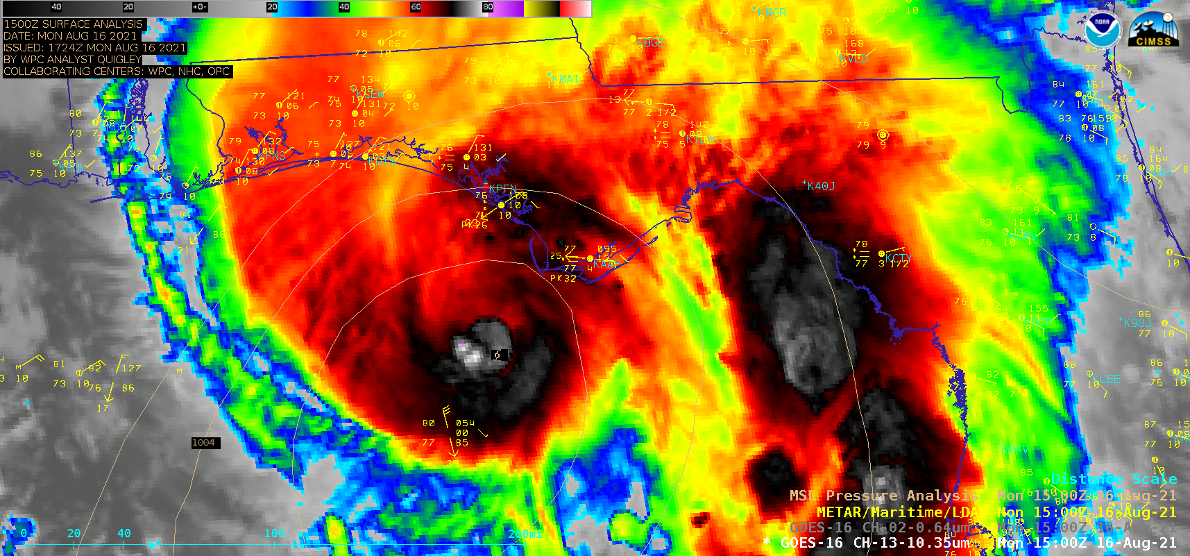
GOES-16 “Red” Visible (0.64 µm) and “Clean” Infrared Window (10.35 µm) images [click to play animation | MP4]
1–minute Mesoscale Domain Sector GOES-16 (GOES-East) “Red” Visible (0.64 µm) and “Clean” Infrared Window (10.35 µm) images (above) showed Tropical Storm Fred during the 8-hour period leading up to it making landfall along the panhandle of Florida around 1915 UTC on 16 August 2021. Multiple convective bursts developed near the storm center, with some exhibiting cloud-top infrared brightness temperatures of -80ºC or colder (violet pixels). As Fred moved inland, it produced heavy rainfall and strong winds.
A time-matched comparison of Infrared images from GOES-16 and Suomi NPP at 1831 UTC is shown below. The coldest cloud-top infrared brightness temperatures were -74.1ºC with GOES-16 and -79.5ºC with Suomi NPP. The spatial offset is due to parallax that is inherent with GOES imagery.
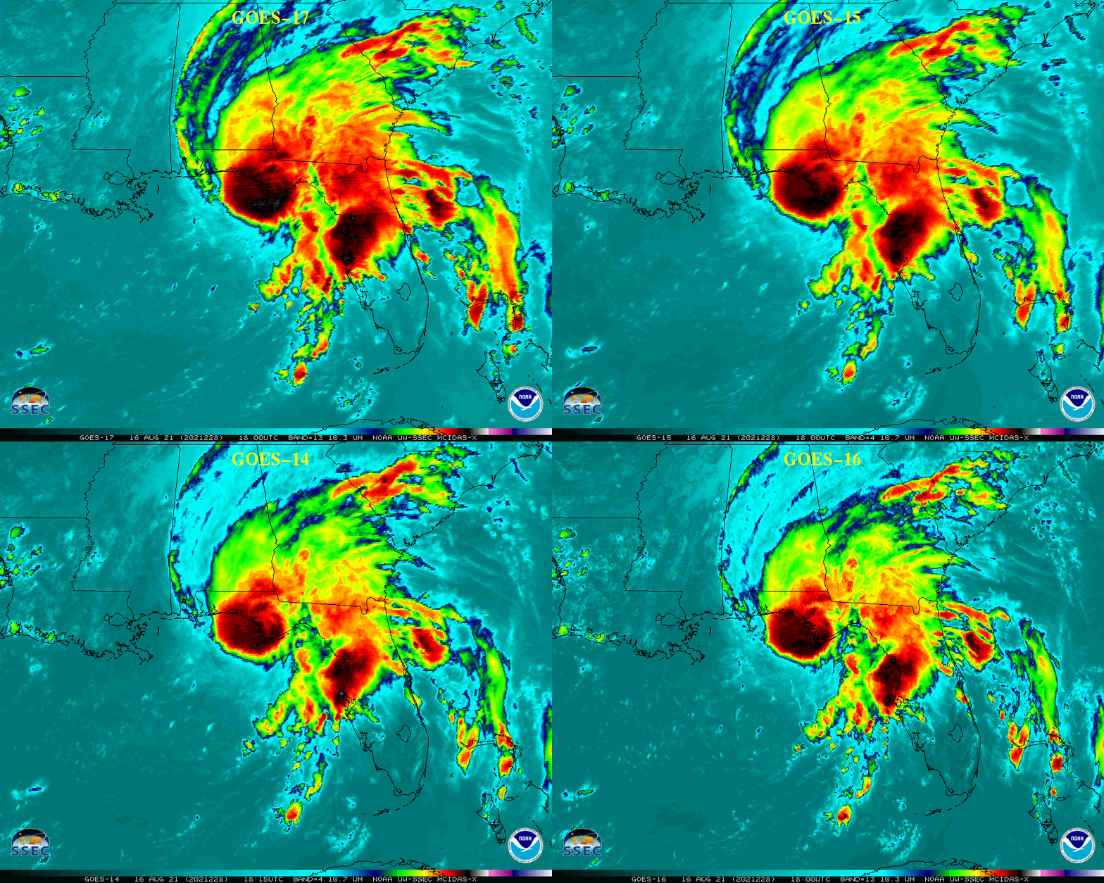
Views of Fred from 4 GOES (GOES-17, GOES-15, GOES-14 and GOES-16) around 1800 UTC are shown below.

Infrared Window images of Tropical Storm Fred from GOES-17, GOES-15, GOES-14 and GOES-16 around 1800 UTC (credit: Tim Schmit, NOAA/NESDIS/ASPB) [click top enlarge]


