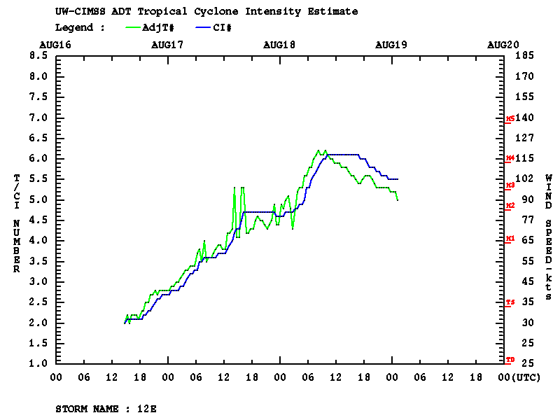
Hurricane Genevieve in the East Pacific Ocean
![GOES-16 “Red” Visible (0.64 µm) and “Clean” Infrared Window (10.35 µm) images [click to play animation | MP4]](https://cimss.ssec.wisc.edu/satellite-blog/images/2020/08/200818_goes16_visible_infrared_Hurricane_Genevieve_anim.gif)
GOES-16 “Red” Visible (0.64 µm) and “Clean” Infrared Window (10.35 µm) images [click to play animation | MP4]
A GOES-16 Visible image at 1617 UTC (below) includes plots of Metop-A ASCAT scatterometer surface winds — the highest wind was 69 knots just northeast of the storm center.
![GOES-16 “Red” Visible (0.64 µm) image, with plots of ASCAT scatterometer surface winds [click to enlarge]](https://cimss.ssec.wisc.edu/satellite-blog/images/2020/08/genevieve_vis_ascat-20200818_161755.png)
GOES-16 “Red” Visible (0.64 µm) image, with plots of ASCAT scatterometer surface winds [click to enlarge]