Hurricane Bill
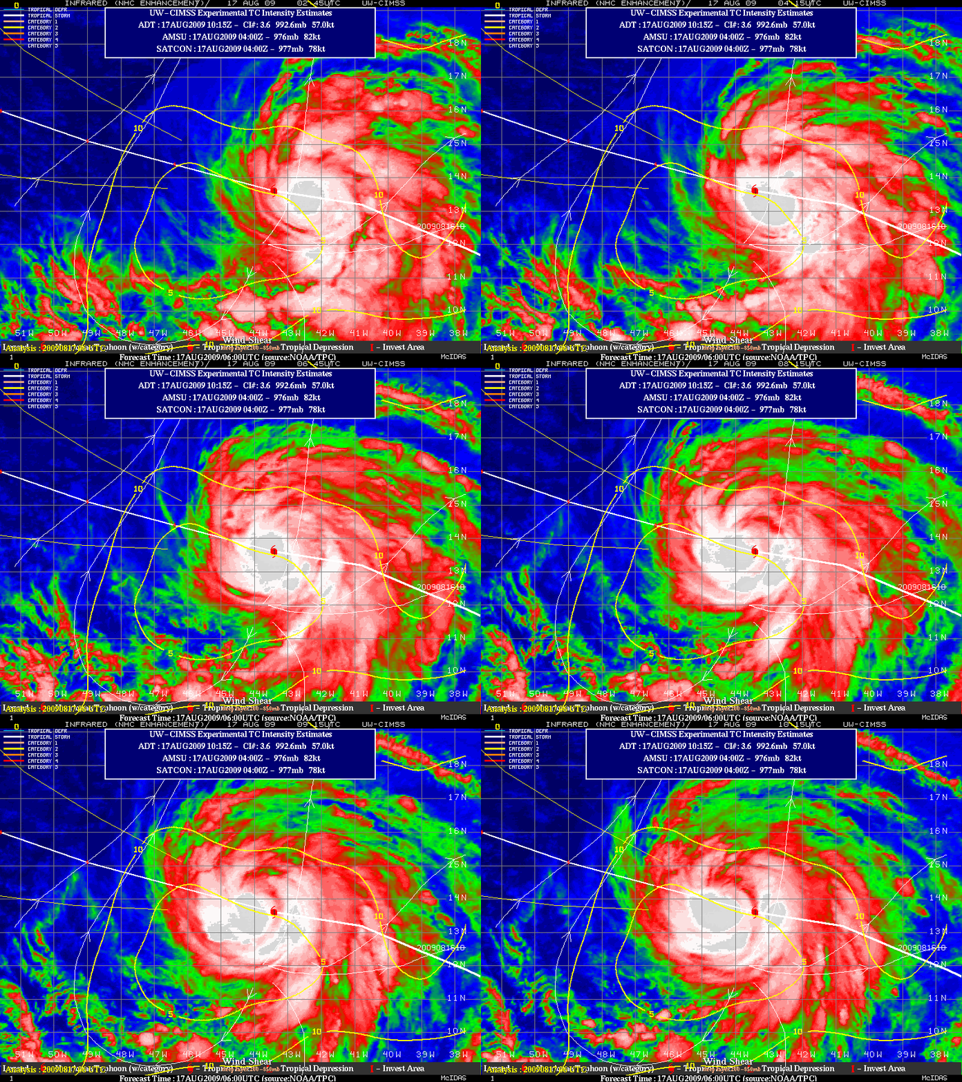
Bill became the first Atlantic hurricane of the 2009  season on 17 August 2009. GOES-12 IR images from the CIMSS Tropical Cyclones site (above) displayed a canopy of very cold cloud tops around the center of the hurricane. The CIMSS satellite-derived wind shear product indicated that the storm environment was characterized by low shear, allowing intensification to progress.
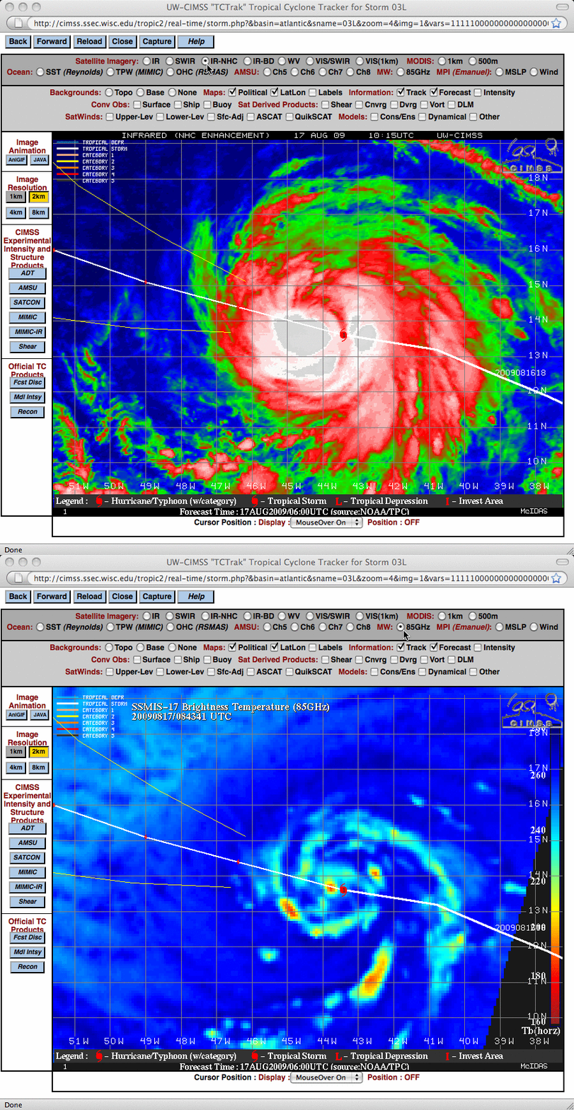
A comparison of a 10:15 UTC GOES-12 IR image with a DMSP SSM/IS 85 GHz microwave image from a couple of hours earlier (below) showed a well-organized banding structure beneath the central dense overcast of cold cloud tops.


