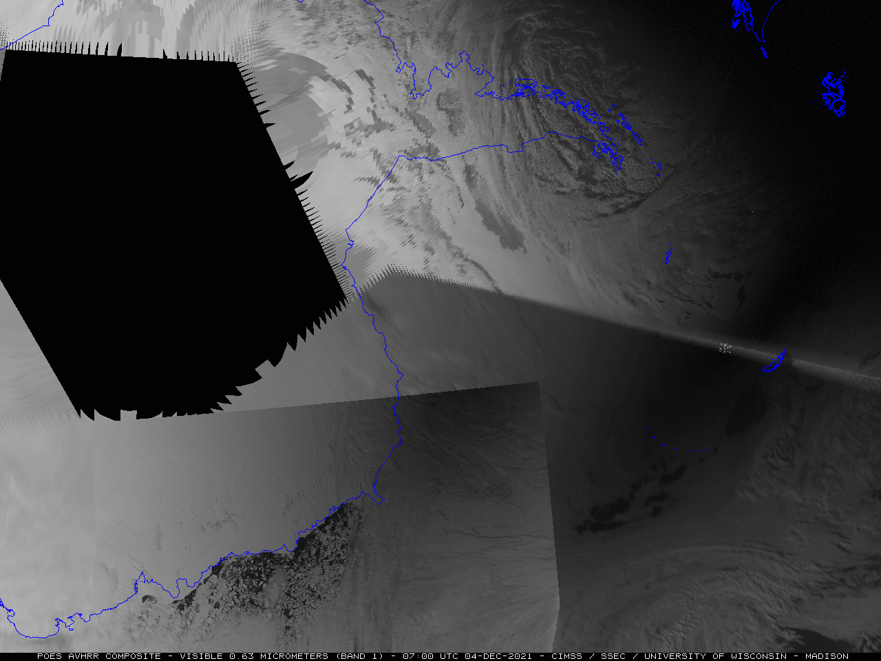
Archive for the ‘AVHRR’ Category

Fire activity in Canada

Monday, June 30th, 2008

GOES-11 visible + shortwave IR images (Animated GIF)

Wildfire activity began to increase across the northern portions of Saskatchewan and Manitoba in Canada on 30 June 2008. GOES-11 visible and 3.9 µm “shortwave IR” images (above) showed a number of thick smoke plumes (lighter gray features on the visible images) drifting southeastward from a large cluster of active fire “hot spots” (darker black pixels on the IR images). GOES-11 was placed into Rapid Scan Operations (RSO) during the afternoon hours, so images near the end of the animation were available at 5-7 minute intervals.

The largest fire was located between Pelican Narrows and Sandy Bay in Saskatchewan, as seen in an AVHRR false color image (below, viewed using Google Earth). A close-up view reveals that the fire had actually jumped the only road that was in that area (the seasonal road which connects Sandy Bay and Pelican Narrows). The GOES-11 shortwave IR brightness temperatures associated with this particular fire were as high as 341º K (68º C, 158º F), which is the saturation temperature of the 3.9 µm detectors on the GOES-11 satellite. Note that some small pyrocumulus clouds could be seen developing over this large and very hot fire on the GOES-11 visible imagery (above) as well as on the AVHRR false color image (below).
AVHRR false color image (Google Earth)

A closer view of the largest fire using AWIPS images of the 1-km resolution MODIS 3.7 µm and the 4-km resolution GOES-12 3.9 µm IR channels (below) shows the advantage of higher spatial resolution for displaying the shape and coverage of not only the largest fire cluster (located near the center of the image), but also the smaller fires in outlying areas. Many of the pixels were so hot that the IR brightness temperatures exceeded the 54.5º C upper threshold for AWIPS display, and showed up as black pixels (registered as “NO DATA“) on the imagery. The smoke from this fire was restricting surface visibility to 1 mile at Flin Flon (CYFO) and 3 miles at The Pas (CYQD) in Manitoba, even though those 2 sites were not in the direct path of the thickest portion of the smoke plume.

MODIS + GOES-11 shortwave IR images (Animated GIF)

Some clues as to the locations of the hottest portion of the fire — which happened to be located within the eastern half of the active fire area, where the black “NO DATA” pixels were seen on the MODIS shortwave IR image — could be found by examining other MODIS images and products: note the darker black pixels on the 11.0 µm “IR Window” channel, the brighter white pixels on the 2.1 µm near-IR “Snow/Ice” channel, and the darker red pixels on the Land Surface Temperature (LST) product (below). AWIPS cursor sampling indicated that the hottest pixel on the IR Window image was 52º C (126º F), while the hottest pixel on the LST image was significantly warmer at 145º F (63º C).

MODIS IR + snow/ice + LST images (Animated GIF)

Classic enhanced-V and anvil plume signatures

Saturday, May 10th, 2008

GOES-12 + NOAA-16 IR and visible images (Animated GIF)

The severe thunderstorm that was producing a significant long-track tornado (approximately 75 miles long, and around 1 mile wide at times) across parts of northeastern Oklahoma and southwestern Missouri on 10 May 2008 exhibited a classic “enhanced-v” signature on both GOES-12 and NOAA-16 IR imagery. The coldest cloud top brightness temperature values in the region of the enhanced-v were -79 C on the 1-km resolution NOAA-16 AVHRR data, compared to -67 C on the 4-km resolution GOES-12 IR data. In addition, the visible imagery revealed a well-defined anvil plume spreading northeastward from the overshooting top region. Large hail (up to 2.75 inches in diameter) and wind gusts to 65 mph were reported around or just after the time of these images at Joplin, Missouri (station identifier KJLN). The long-track tornado produced EF-4 damage, and was responsible for at least a dozen fatalities in the Picher, Oklahoma and the Seneca/Racine, Missouri areas (SPC storm reports | Tulsa OK NWS summary | Springfield MO NWS summary).

Chaiten Erupts

Tuesday, May 6th, 2008

Channel Difference 11-12 microns

Chile is one of the most volcanically active countries on Earth. The latest volcano to erupt is Chaiten, which had previously lain dormant for at least 1000 years. Chaiten is at approximately 42 degrees South latitude, 72 degrees west longitude, close to Golfo de Ancud. A series of eruptions, starting on May 2, has prompted the evacuation of Chaiten, a provincial capital with a population of 4000.

GOES-10 captured the plume of an eruption that started near 12 UTC on 6 May. Volcanic ash does not have an emissivity of 1; that is, it does not emit as a blackbody. The emissivity at 10.7 microns is smaller than the emissivity at 12 microns. The smaller signal received at 10.7 microns (relative to the assumed blackbody) is interpreted as a cooler emitting surface. If the blackbody temperatures at 10.7 and 12.0 microns are compared, then, values at 12.0 microns are warmer. A channel difference can be used to highlight the horizontal extent of the volcanic ash. In the loop shown, the bluest pixels correspond to a blackbody temperature difference of nearly 10 K. That is, the 12 micron blackbody temperature is 10 K warmer than the 11 micron blackbody temperature. The remnants of an older eruption are also noted near the Atlantic Coast of Argentina.

A sequence of GOES-10 imager and sounder IR difference products during the 02-08 May period (below) shows evidence of plumes from multiple eruptions of the Chaiten Volcano. The GOES-10 Imager can provide nearly continuous (15 minute) coverage of the evolving ash cloud, while the GOES-10 Sounder can provide details on the upper-level SO2 plumes once every four hours. The former is derived utilizing the 11.0 micrometer and 12.0 micrometer bands from the Imager. SO2 plumes are revealed by differencing the 7.4 micrometer and 13.3 micrometer bands from the Sounder.

GOES-12 imager and sounder difference products (Animated GIF)

Click here to see an animated gif every from every four hours — that is, each hour for when sounder data are available.

An AVHRR false color image from 05 May (below, viewed using Google Earth) revealed a long plume from the Chaiten volcano, which stretched eastward across Argentina and then southeastward over the South Atlantic Ocean.

AVHRR false color image