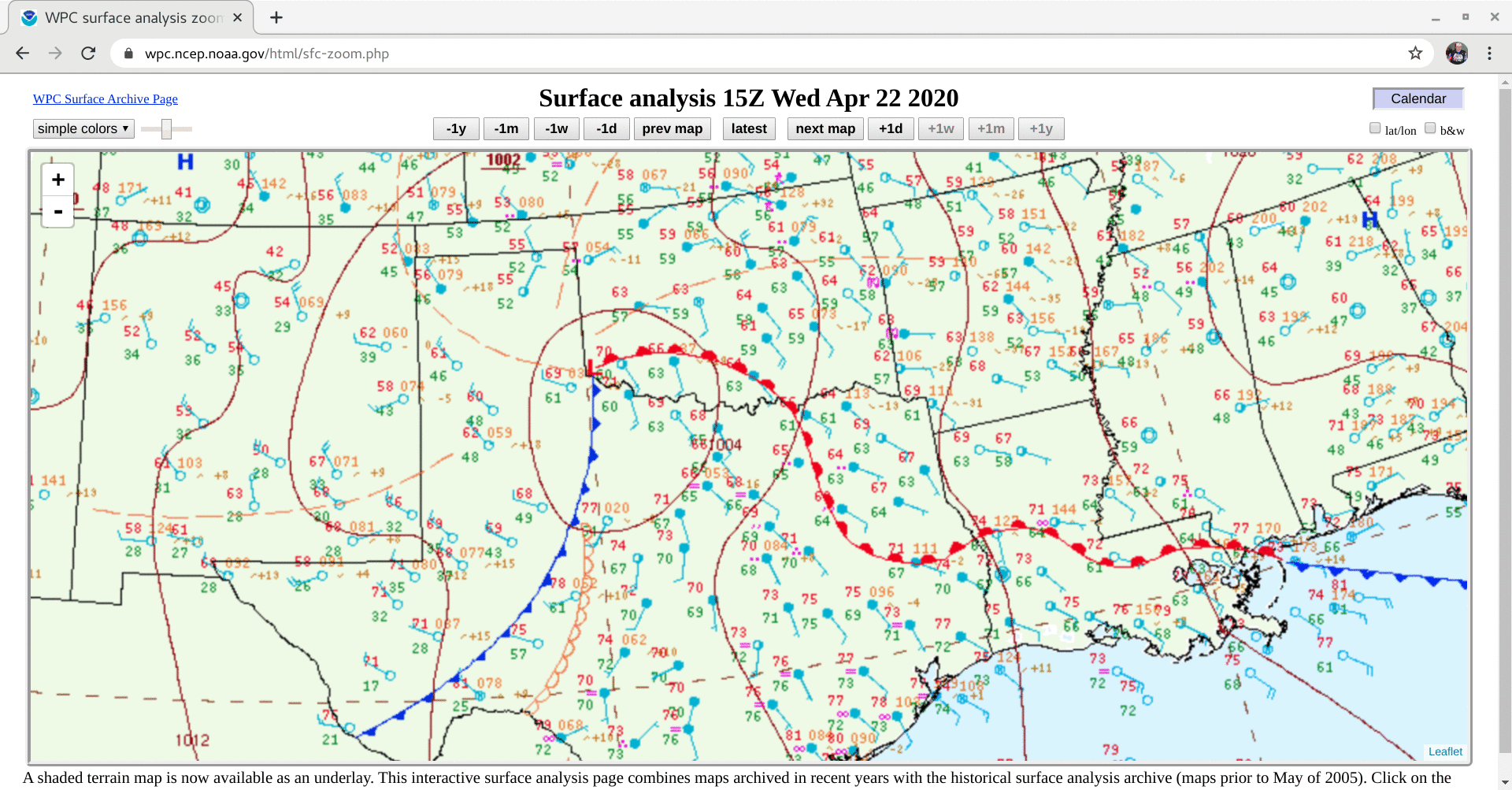
Severe weather in Oklahoma, Texas and Louisiana

GOES-16 “Red” Visible (0.64 µm) and “Clean” Infrared Window (10.35 µm) images [click to play animation | MP4]
GOES-16 Visible and Infrared images with plots of time-matched SPC Storm Reports are shown below.
![GOES-16 "Red" Visible (0.64 µm, top) and "Clean" Infrared Window (10.35 µm, bottom) images, with plots of SPC Storm Reports [click to play animation | MP4]](https://cimss.ssec.wisc.edu/satellite-blog/images/2020/04/200422_goes16_visible_infrared_spcStormReports_OK_anim.gif)
GOES-16 “Red” Visible (0.64 µm, top) and “Clean” Infrared Window (10.35 µm, bottom) images, with plots of SPC Storm Reports [click to play animation | MP4]
![GOES-16 "Red" Visible (0.64 µm) and "Clean" Infrared Window (10.35 µm) images [click to play animation | MP4]](https://cimss.ssec.wisc.edu/satellite-blog/images/2020/04/200422_goes16_visible_infrared_TX_severe_thunderstorms_anim.gif)
GOES-16 “Red” Visible (0.64 µm) and “Clean” Infrared Window (10.35 µm) images [click to play animation | MP4]
![GOES-16 "Red" Visible (0.64 µm, top) and "Clean" Infrared Window (10.35 µm, bottom) images, with plots of SPC Storm Reports [click to play animation | MP4]](https://cimss.ssec.wisc.edu/satellite-blog/images/2020/04/200422_goes16_visible_infrared_spcStormReports_TX_LA_anim.gif)
GOES-16 “Red” Visible (0.64 µm, top) and “Clean” Infrared Window (10.35 µm, bottom) images, with plots of SPC Storm Reports [click to play animation | MP4]
![NOAA-19 AVHRR Visible (0.63 µm) and Infrared Window (10.8 µm) images [click to enlarge]](https://cimss.ssec.wisc.edu/satellite-blog/images/2020/04/200422_2338utc_noaa19_visible_infrared_TX_LA_anim.gif)
NOAA-19 AVHRR Visible (0.63 µm) and Infrared Window (10.8 µm) images [click to enlarge]