Historic rainfall event along the US East Coast
During the 26 September – 30 September 2010 period, copious amounts of moisture (which included the remnants of Tropical Storm Nicole) continually streamed northward along the US East Coast, causing historic rainfall totals (which were also accompanied by high winds and even several tornadoes: SPC Storm Reports). In Wilmington, North Carolina they received an amazing 23.36 inches of rainfall during the 5-day period.Â
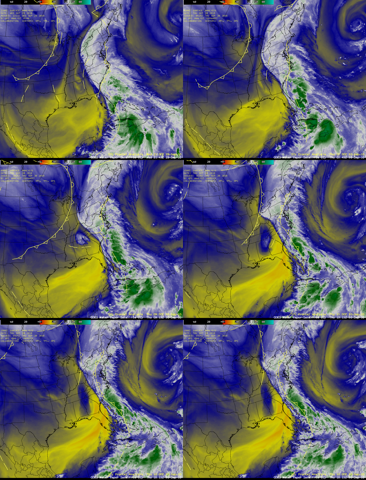
AWIPS images of GOES-13 6.5 µm water vapor channel data during the 29-30 September period (above) showed that a great deal of clouds and moisture were flowing northward along a stalled frontal boundary.
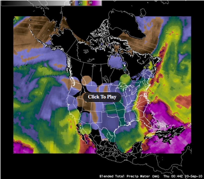
AWIPS images of the Blended Total Precipitable Water (TPW) product (below) showed TPW values as high as 60 to 75 mm (2.4 to 2.9 inches) moving northward along the Eastern Seaboard during much of the 5-day period.
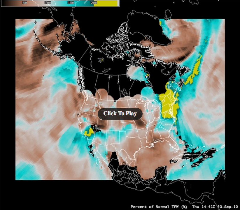
These high TPW values were in excess of 200% of normal (below) for that region and for that time of year.
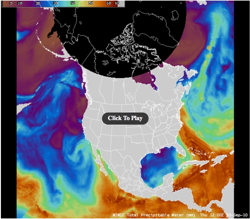
AWIPS images of the MIMIC Total Precipitable Water product (below) suggested that a portion of the moisture feed may actually have been coming from the tropical Pacific!
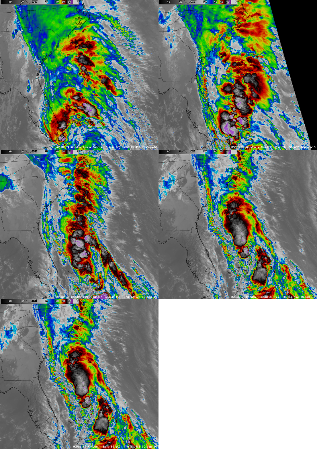
Within this plume of rich tropical moisture, vigorous convective cells were developing over the warm waters of the Gulf Stream and then feeding northward. AWIPS images of 1-km resolution MODIS 11.0 µm and POES AVHRR 10.8 µm IR channel data (below) revealed features with cloud top IR brightness temperatures in the -80º to -88º C range (light to dark purple color enhancement).


