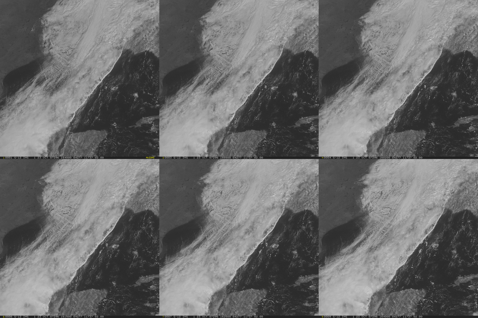
Rope Cloud in the Gulf of Mexico
Rope clouds are elongated lines of cumuliform clouds that develop at the leading edge of an advancing cold front. They are most commonly seen over the ocean, where friction and topography effects that might disrupt the development of a line are minimal. For the example seen today, a RUC temperature analysis over the Gulf to the east of the line show temperatures in the 80s (Fahrenheit) at 1500 UTC; RUC analysis temperatures drop quickly into the 60s and 70s behind the line, even over the warm waters of the Gulf.
Satellites other than geostationary viewed this line. Click here to view the rope cloud as seen by NOAA-17, and click here for the MODIS imagery. Both polar orbiters give higher spatial resolution views — at the cost of lower temporal resolution.


