Convection and Flooding over northern Wisconsin

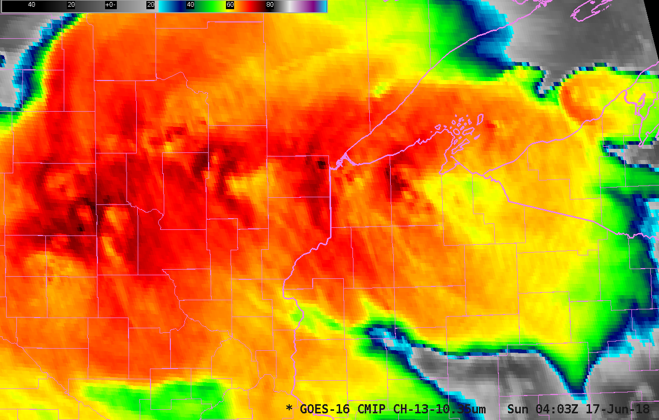
GOES-16 ABI Clean Window (10.3 µm) Infrared Imagery, 0200-0559 UTC on 17 June 2018 (Click to animate)
Persistent convection over northern Wisconsin, Minnesota and upper Michigan late Saturday (16 June)/early Sunday (17 June) caused significant flooding. The animation above shows GOES-16 ABI “Clean Window” Infrared Imagery from 0200-0600 UTC on 17 June. Note the persistence of the cold overshooting tops over western Bayfield County in northwestern Wisconsin! A longer Infrared animation (0110-1200 UTC) which includes hourly plots of precipitation type (yellow) and SPC storm reports of damaging winds (cyan) is available here. 7-day precipitation departures in some areas were 4 to 8 inches above normal for that period (or 600% of normal).
This link from Wisconsin Emergency Management shows aerial pictures of the flood damage. Of note is the break in US Highway 2 to the west of Ashland WI.
The heavy rains also affected runoff into Lake Superior. MODIS imagery, below, from the MODIS Today site (also available from RealEarth: Link), shows considerable offshore flow of sediment on 19 June (a similar image from 18 June is here, with a toggle between the 2 days here).
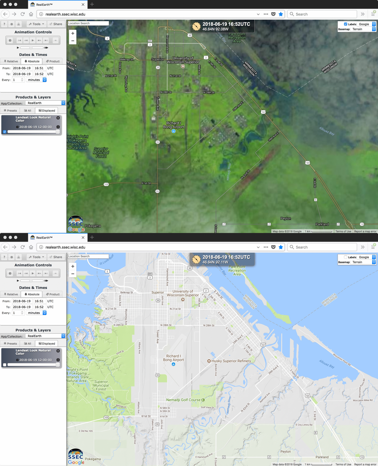
A Landsat-8 False-Color image, below, showed pockets of flooding (darker blue) adjacent to the Nemadji River in Superior WI on the morning of 19 June — water also cover a portion of US Highway 2/53. The Nemadji River had crested in Superior at a record 29.5 feet on the evening of 17 June (NWS Duluth summary).
============================ Added 22 June ==============================
NOAA’s Hydrometeorological Design Studies Center (Link) created an Exceedance Probability Analysis for this event at 6-hour, 24-hour and 72-hout time spans, available here (from this link). Probabilities suggest this was an exceedingly rare event.
The continuation of sediment flow into Lake Superior could be seen in a series of daily MODIS True-Color images here.


