Lower North Fork Fire in Colorado
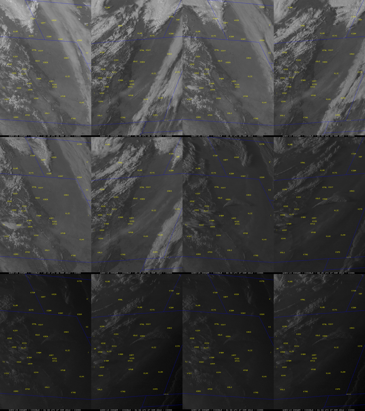
The “Lower North Fork Fire” near Aspen Park, Colorado began during the afternoon hours on 26 March 2012 and rapidly expanded to over 4100 acres in size. 2 fatalities resulted from this fire, with over 900 homes being evacuated and at least 27 homes damaged or destroyed. The combination of strong southwesterly winds (gusting in the 35-50 mph range) and very dry air (relative humidity values around 10%) created an environment that was favorable for rapid wildfire growth. A comparison of McIDAS images of GOES-15 (GOES-West) and GOES-13 (GOES-East) 0.63 µm visible channel data (above) showed the development of a large smoke plume with embedded pyrocumulus clouds.
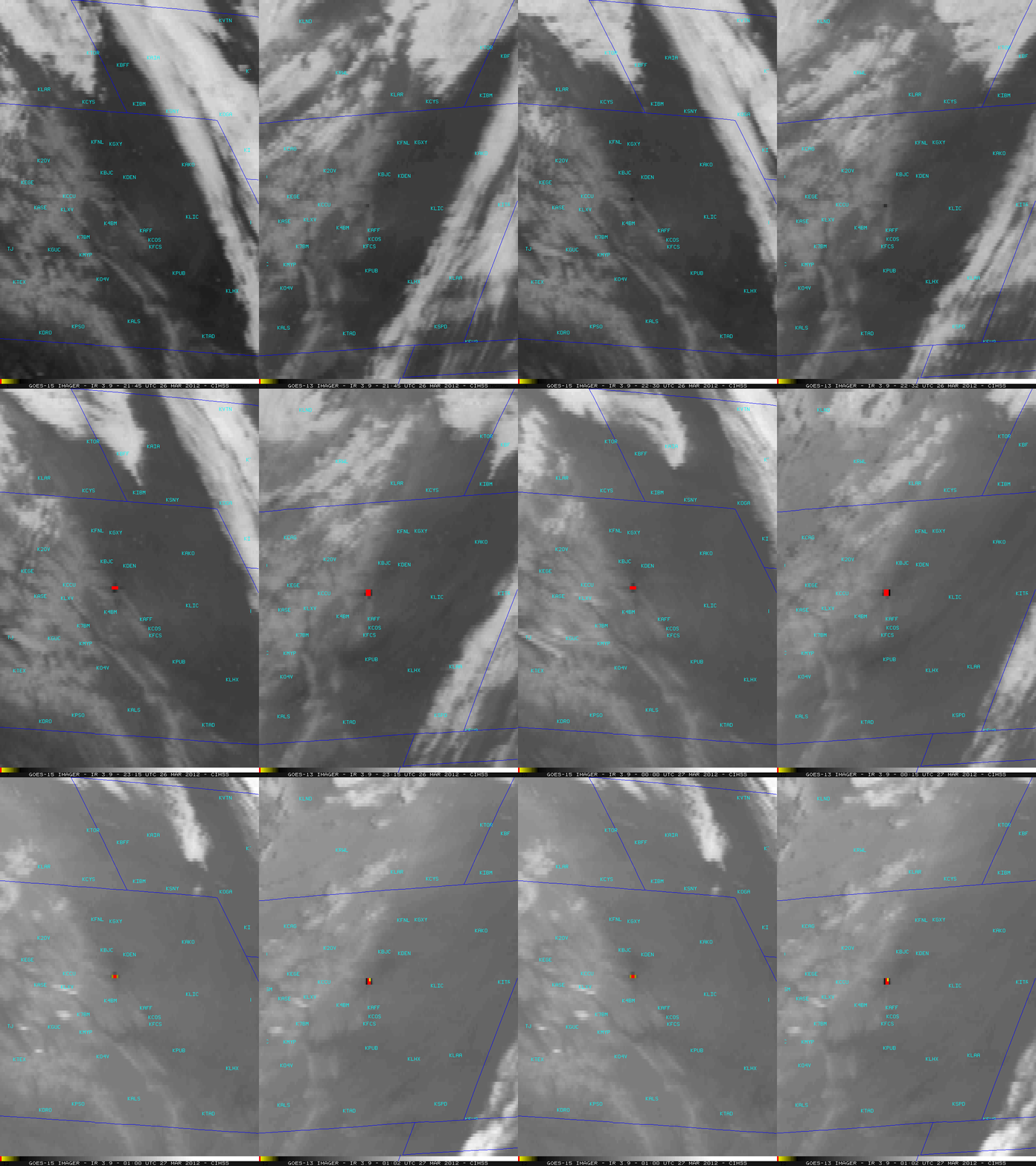
The corresponding series of GOES-15 and GOES-13 3.9 µm shortwave IR images (below) revealed how quickly the fire “hot spot” (black to yellow to red color enhancement) grew in size.
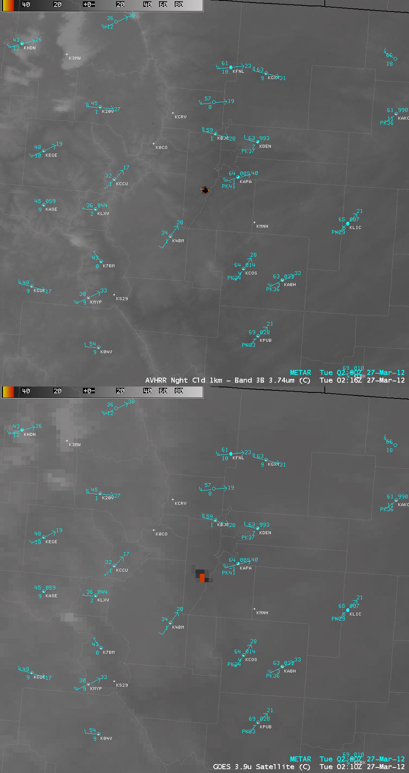
An AWIPS comparison of a 1-km resolution POES AVHRR 3.7 µm shortwave IR image with the corresponding 4-km resolution GOES-13 3.9 µm shortwave IR image just after 02 UTC or 8 pm local time (below) demonstrated the advantage of higher spatial resolution for more accurately identifying the location and areal coverage of the fire.
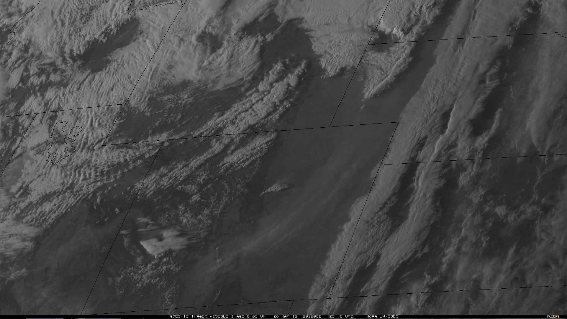
A larger scale HD-format view of GOES-13 0.63 µm visible channel images (below; click image to play animation) revealed other interesting features across the region, such as (1) a large blowing dust plume oriented from southwest to northeast across Colorado, (2) a terrain-induced standing wave cloud over southwestern Colorado, (3) the development of a line of thunderstorms across eastern Wyoming, and (4) another smaller blowing dust plume across eastern Idaho. Animated GIF courtesy of Tim Schmit, NOAA/ASPB/CIMSS.


