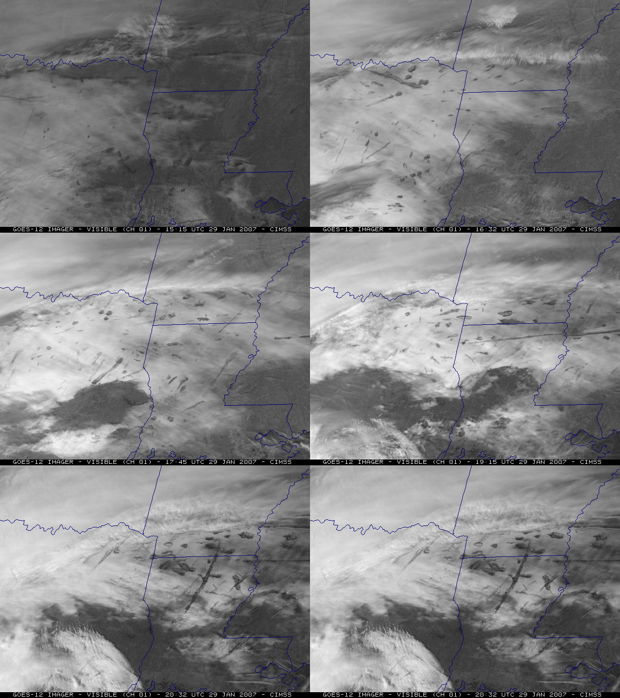
Aircraft “distrails” over the southcentral US
GOES-12 visible channel images (above) revealed numerous aircraft dissipation trails — otherwise known as “distrails” or “hole punch clouds” — during the day over eastern Texas, northern Louisiana, southern Arkansas, and Mississippi on 29 January 2007. Corresponding GOES-12 10.7 µm InfraRed (IR) imagery showed that cloud-top infrared brightness temperatures over that region were generally between -20º and -35º C; as aircraft (likely air traffic to/from Dallas-Fort Worth airport KDFW) penetrated that cloud layer, they caused the supercooled cloud droplets to glaciate and begin to fall out of the cloud (causing the “holes” and “streaks” that were evident on the visible imagery).
Higher-resolution views of these cloud features were available from Terra MODIS (sourced from the NASA Rapidfire site) and Aqua MODIS True Color Red-Green-Blue (RGB) images (below).
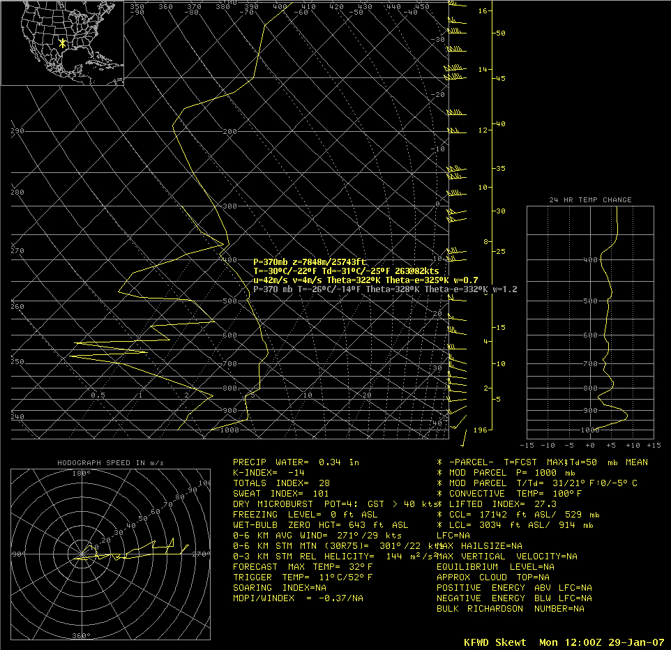
12 UTC rawinsonde data from Fort Worth, Texas (below) indicated that the likely elevation of the supercooled cloud deck was around 25,000 feet.


![Aqua MODIS True Color RGB image [click to enlarge]](http://eosweb.ssec.wisc.edu/browse_images/aqua/2007/029/2007-01-29_1839-1851_GUCO_010403_HKM.jpg)
