")
GOES-14 0.63 µm visible channel images (click image to play animation)
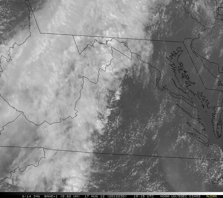
On 18 August 2012, GOES-14 provided Super Rapid Scan Operations for GOES-R (SRSOR) imagery of Tropical Depression Helene making landfall along the eastern coast of Mexico — McIDAS images of 1-km resolution 0.63 µm visible channel data (above; click image to play large 128 MegaByte animation) showed convective bursts near the center of Helene as it moved inland, along with a larger convective band that persisted just offshore over the far western Gulf of Mexico (which eventually produced well-defined low-level convective outflow boundaries along the northern end).
The GOES-14 satellite has been brought out of on-orbit storage to be tested in SRSOR mode through the end of October 2012, allowing it to provide images at 1-minute intervals for an extended period of time over special regions of interest (similar to the future GOES-R satellite, which will be capable of producing imagery at 30-second intervals over special sectors of interest).
A comparison of AWIPS images of 1-km resolution POES AVHRR 0.63 µm visible channel and 10.8 µm IR channel data at 14:18 UTC (below) showed some of the earlier low-level convective outflow boundaries approaching far southern Texas, as well as embedded areas of convection exhibiting IR brightness temperature as cold as -77º C both near the inland center of Helene and also within the offshore convective band.

POES AVHRR 0.63 µm visible channel and 10.8 µm IR channel images
View only this post Read Less
")
")
")
")


