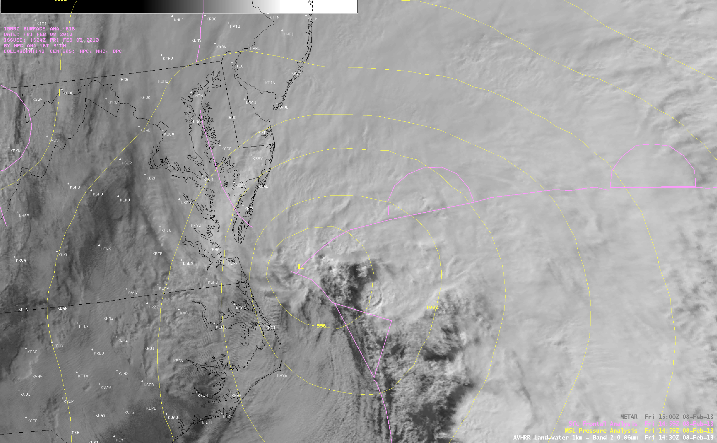
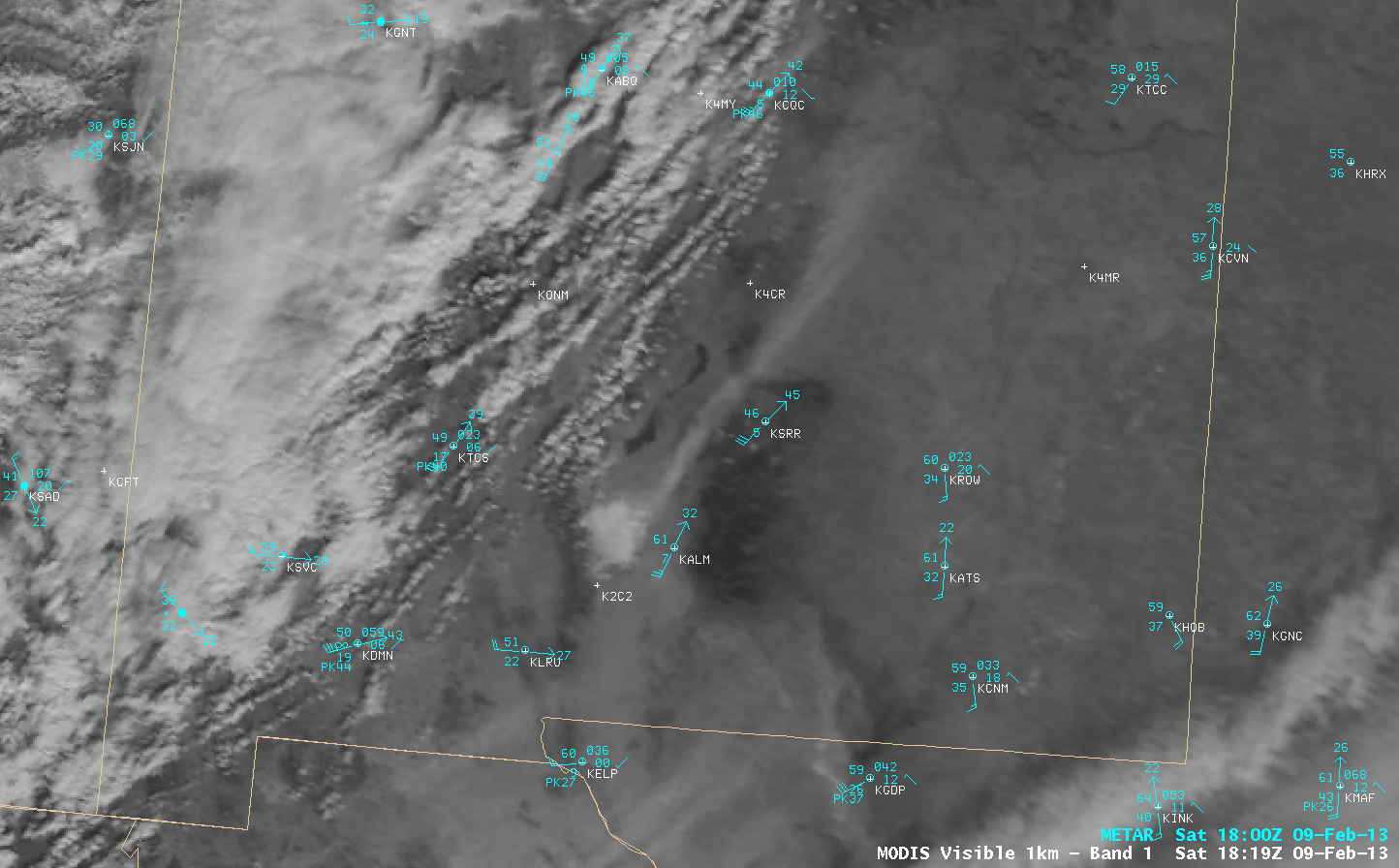
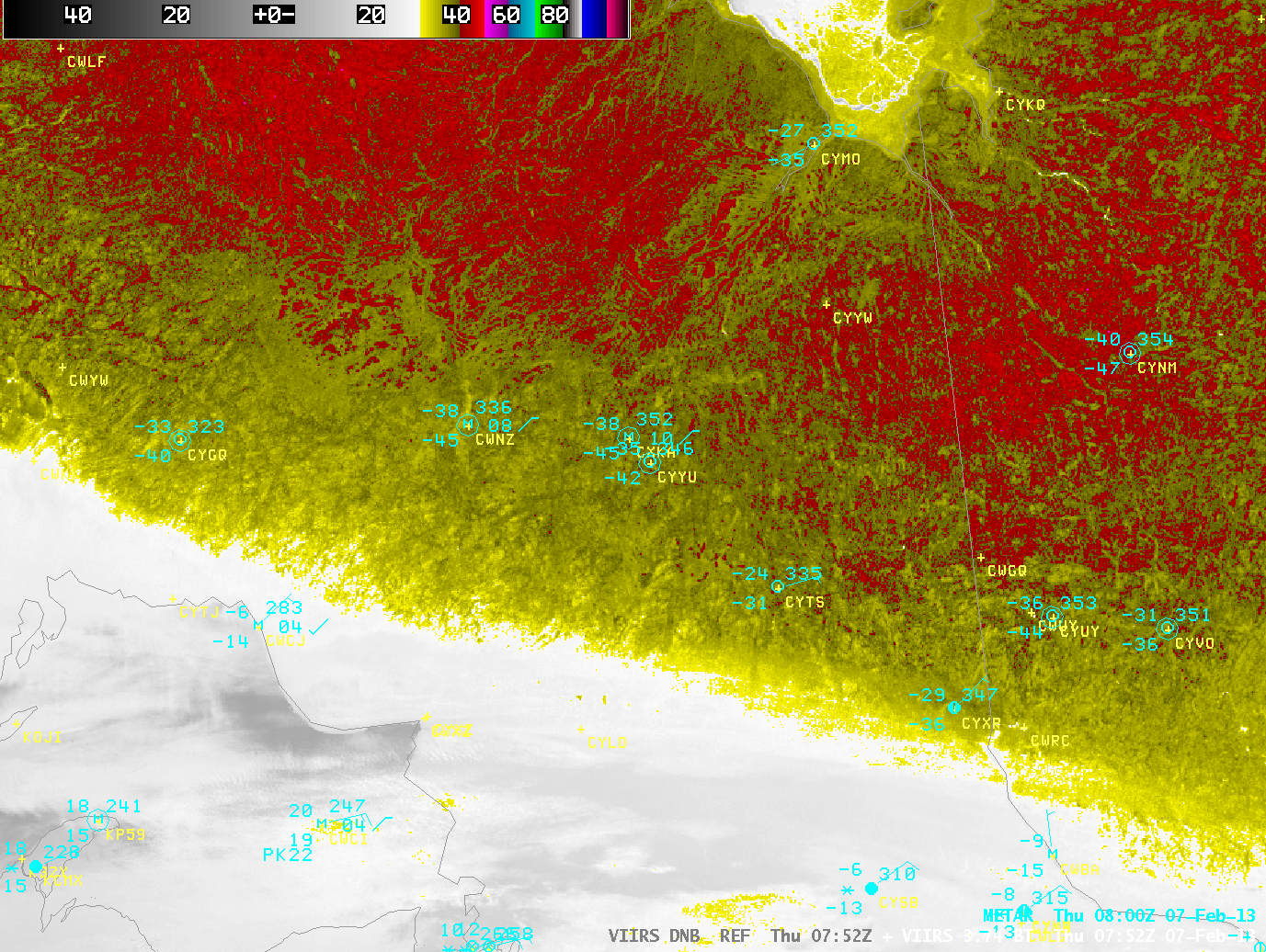
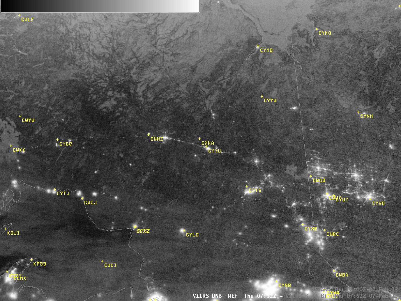
A large winter storm began to intensify just off the East Coast of the US on 08 February 2013 — and a sequence of 1-km resolution POES AVHRR 0.86 µm, MODIS 0.65 µm, and Suomi NPP VIIRS 0.64 µm Visible images (above) revealed... Read More
POES AVHRR 0.86 µm, MODIS 0.65 µm, and Suomi NPP VIIRS 0.64 µm Visible images [click to enlarge]
A large winter storm began to intensify just off the East Coast of the US on
08 February 2013 — and a sequence of 1-km resolution POES AVHRR 0.86 µm, MODIS 0.65 µm, and Suomi NPP VIIRS 0.64 µm Visible images
(above) revealed the formation of gravity waves in the lower-tropospheric cloud field within the southwest quadrant of the area of low pressure (
corresponding Infrared images).
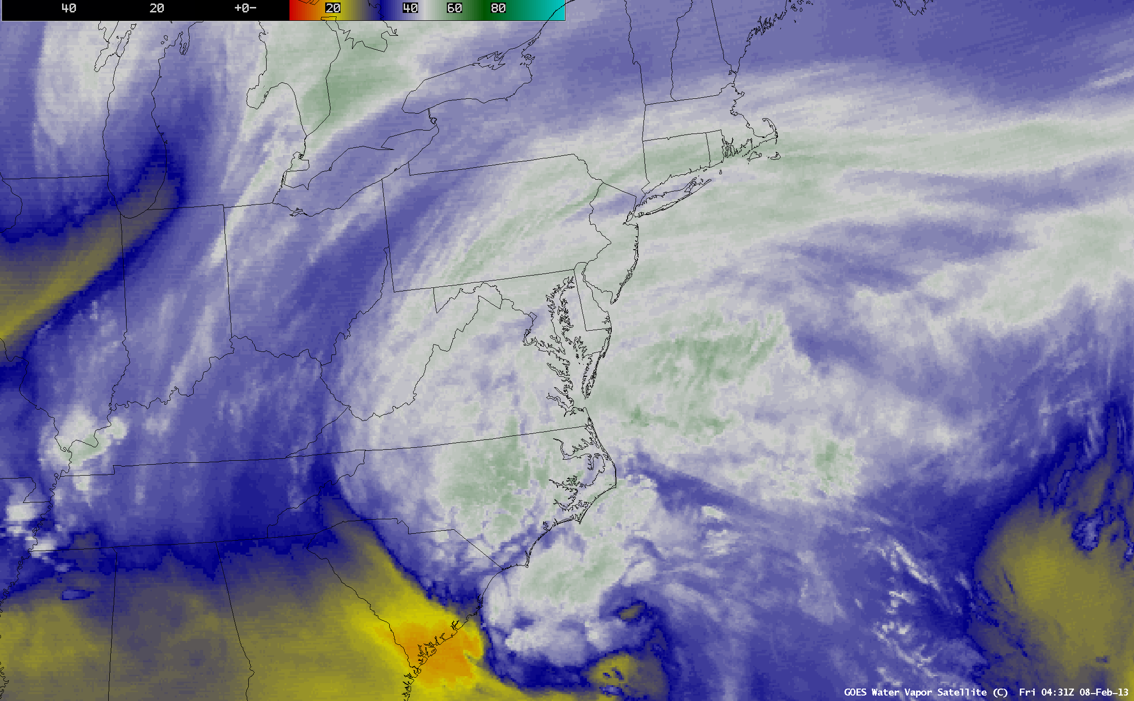
4-km resolution GOES-13 6.5 µm Water Vapor images (below) showed a very well-defined dry slot and the development of a distinct comma head. Strong northwesterly winds were also causing mountain waves to the lee of the Appalachians.
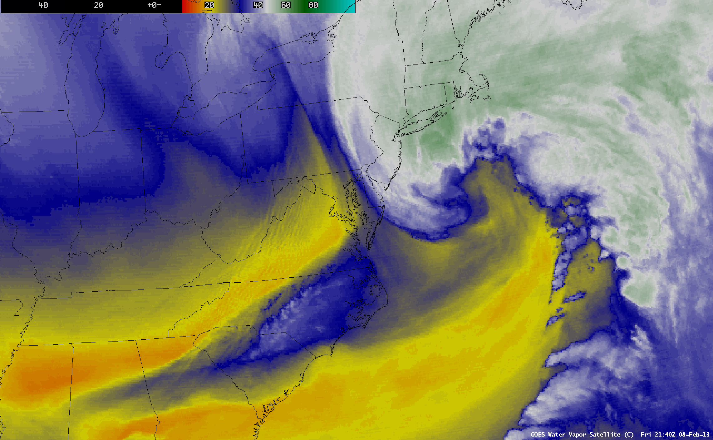
GOES-13 6.5 µm Water Vapor images [click to play animation]
The
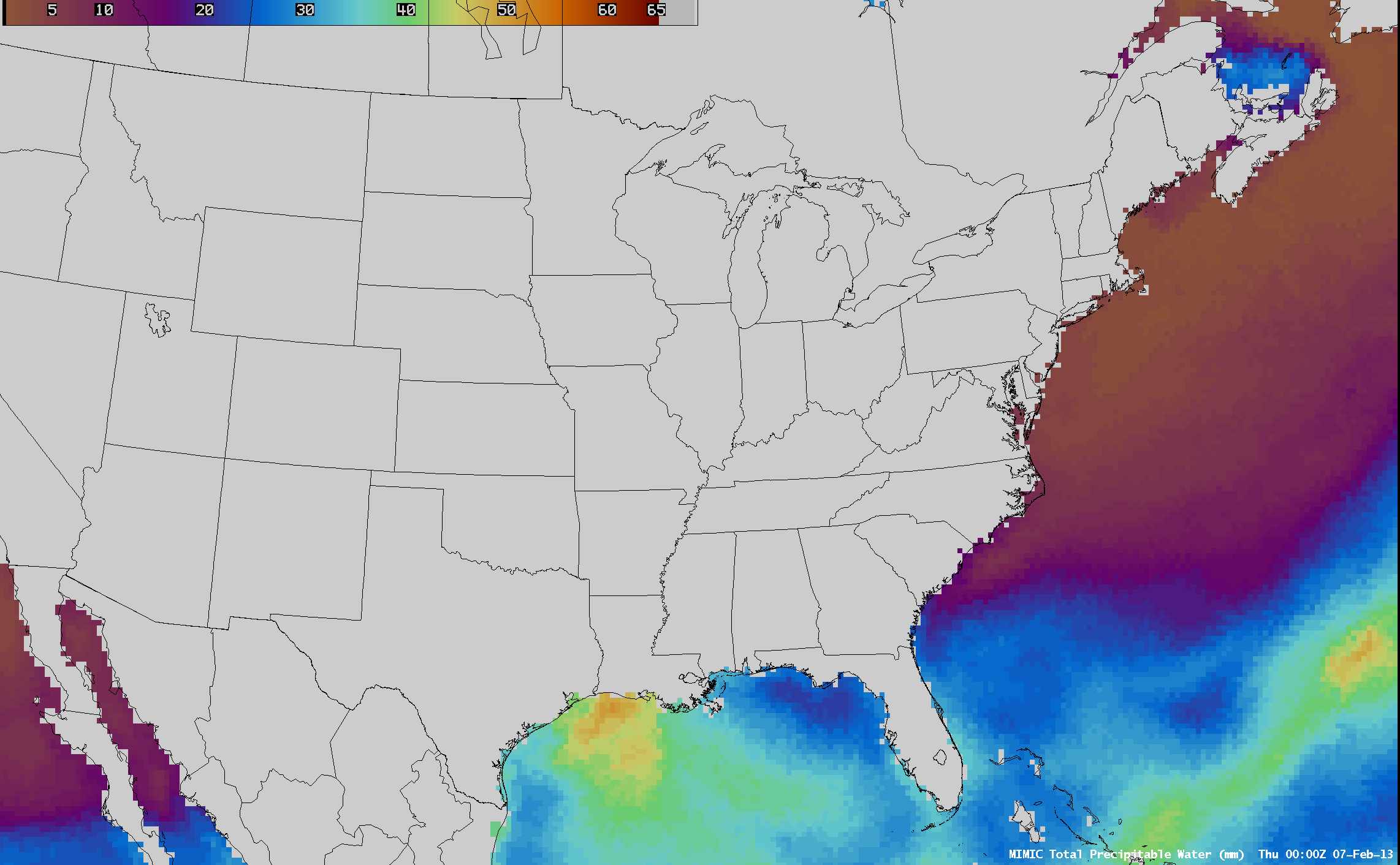
MIMIC Total Precipitable Water (TPW) product
(below) showed TPW values as high as 48 mm or 1.9 inches being drawn northward into the intensifying low.
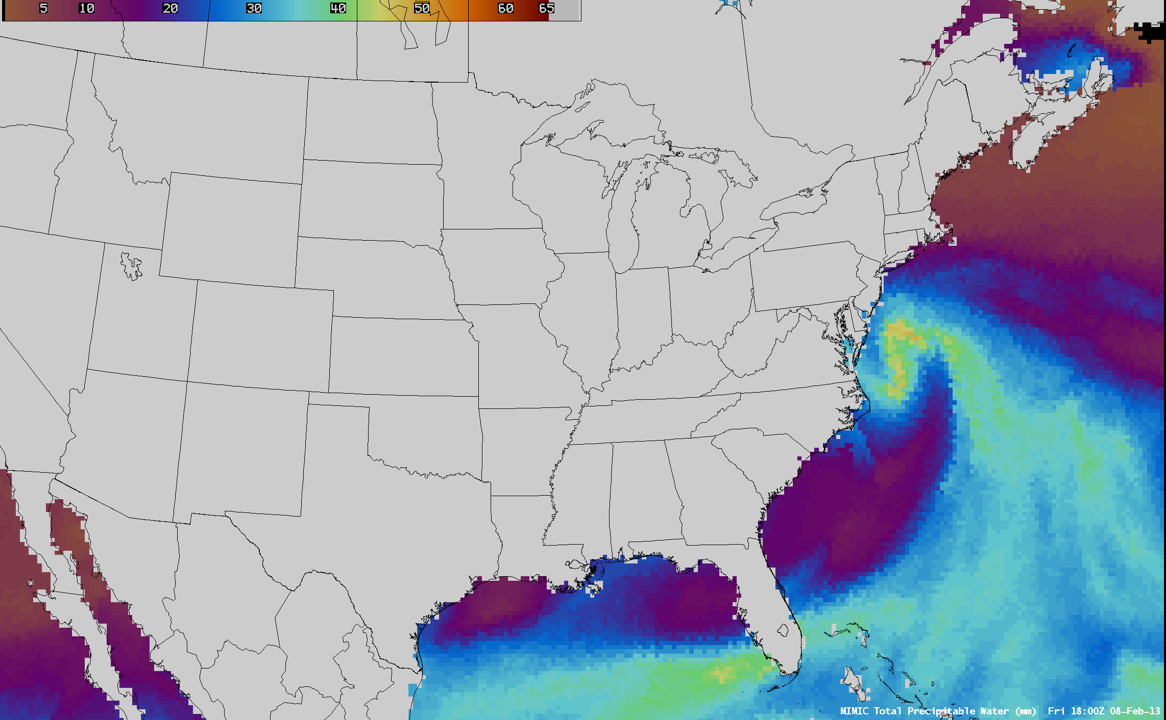
MIMIC Total Precipitable Water product [click to play animation]
Similarly, the Blended Total Precipitable Water product
(below) also showed high values of TPW (up to 36 mm or 1.4 inches) off the Virginia/North Carolina coast as the low was intensifying.
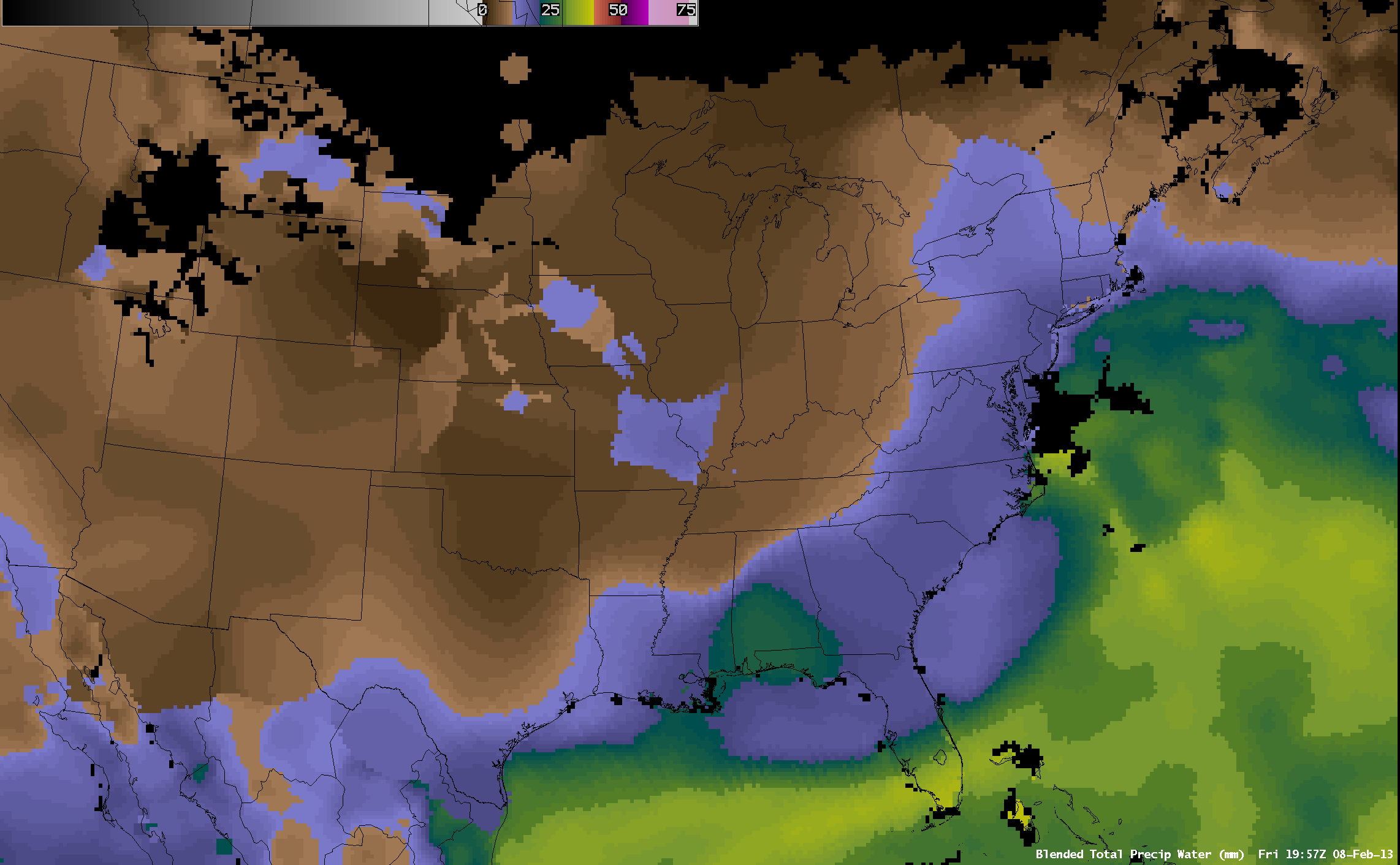
Blended Total Precipitable Water product [click to play animation]
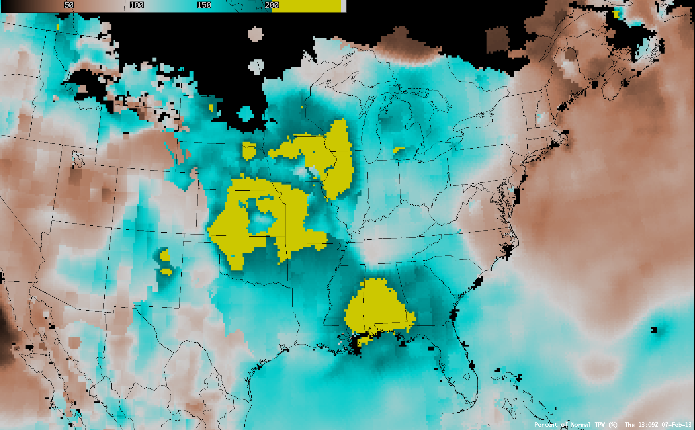
These TPW values were in excess of 200% of normal for this region and this time of year
(below).
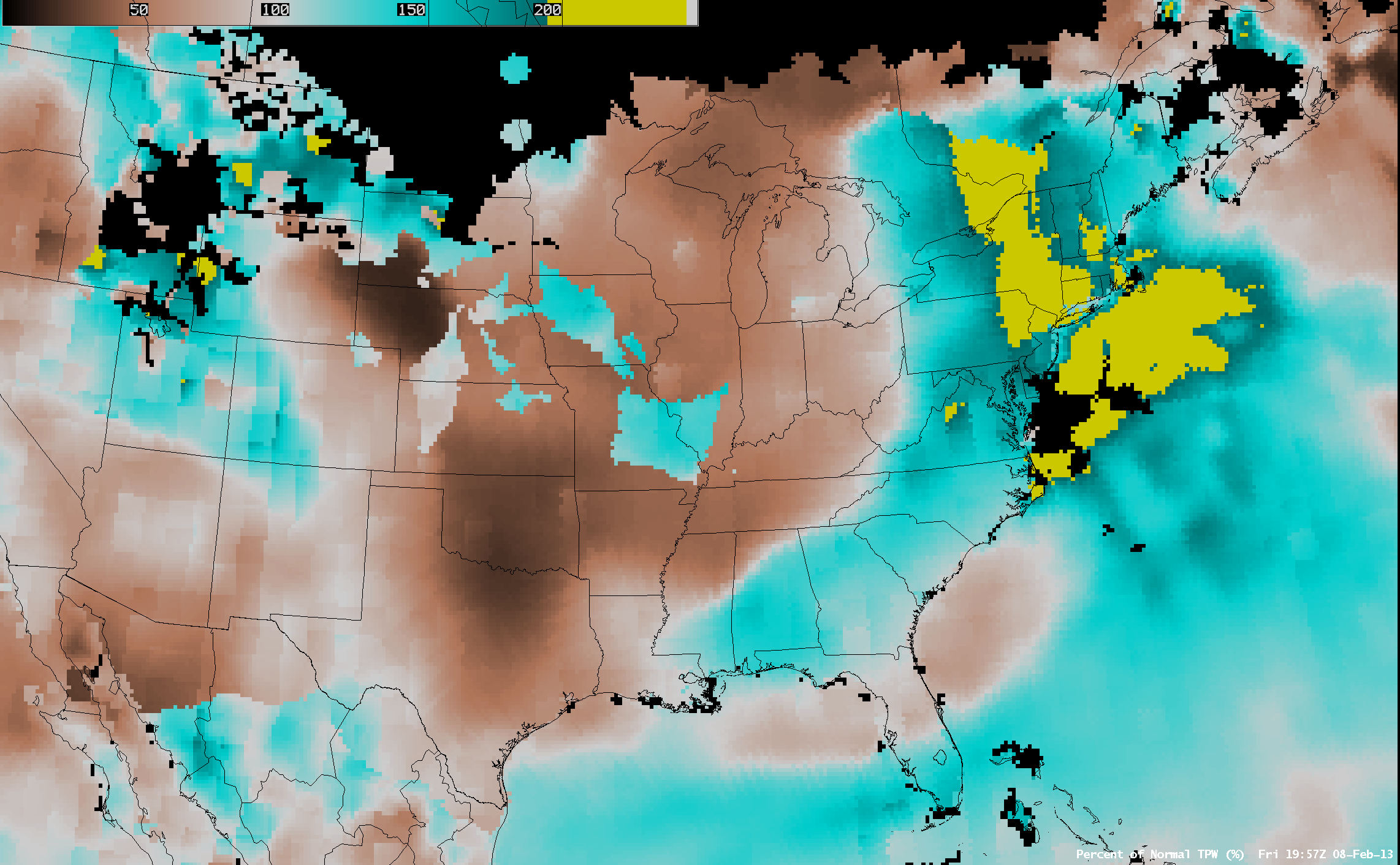
Percent of Normal TPW product [click to play animation]
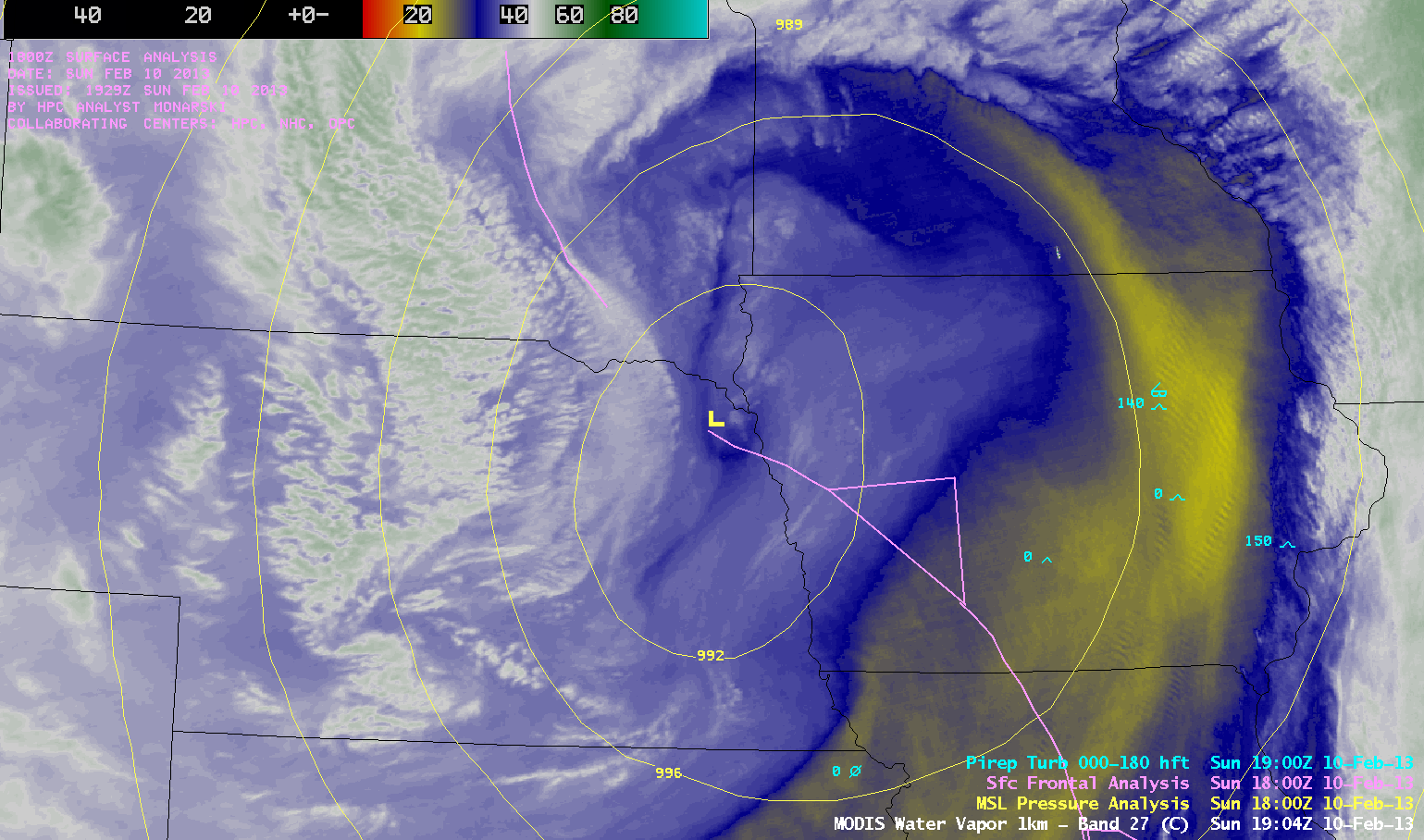
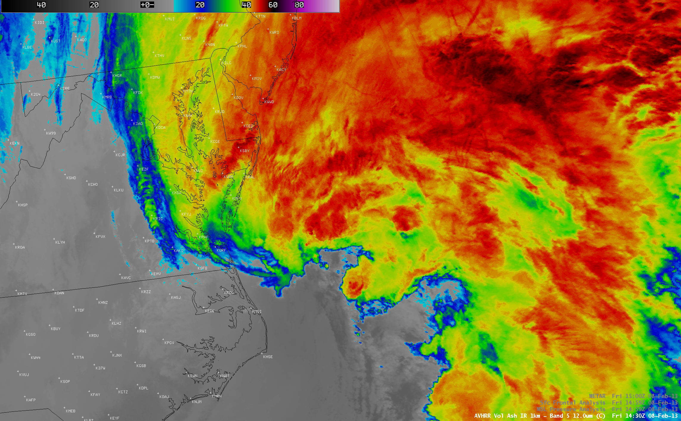
A MODIS 11.0 µm Infrared Window image at 03:04 UTC on 09 February
(10:04 PM local time on 08 February) revealed a distinct hook-shaped pattern to the cloud features near the storm center as it continued to intensify
(below). Peak wind gusts at this time were 58 knots at Nantucket and 54 knots at Boston.
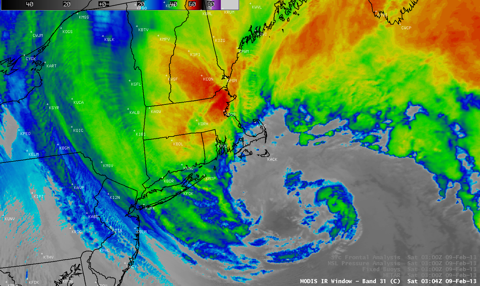
MODIS 11.0 µm Infrared Window image, with overlays of surface/buoy resports and surface analysis [click to enlarge]
===== 09 February Update =====
MODIS 0.65 µm Visible image, with surface/buoy reports and surface analysis [click to enlarge]
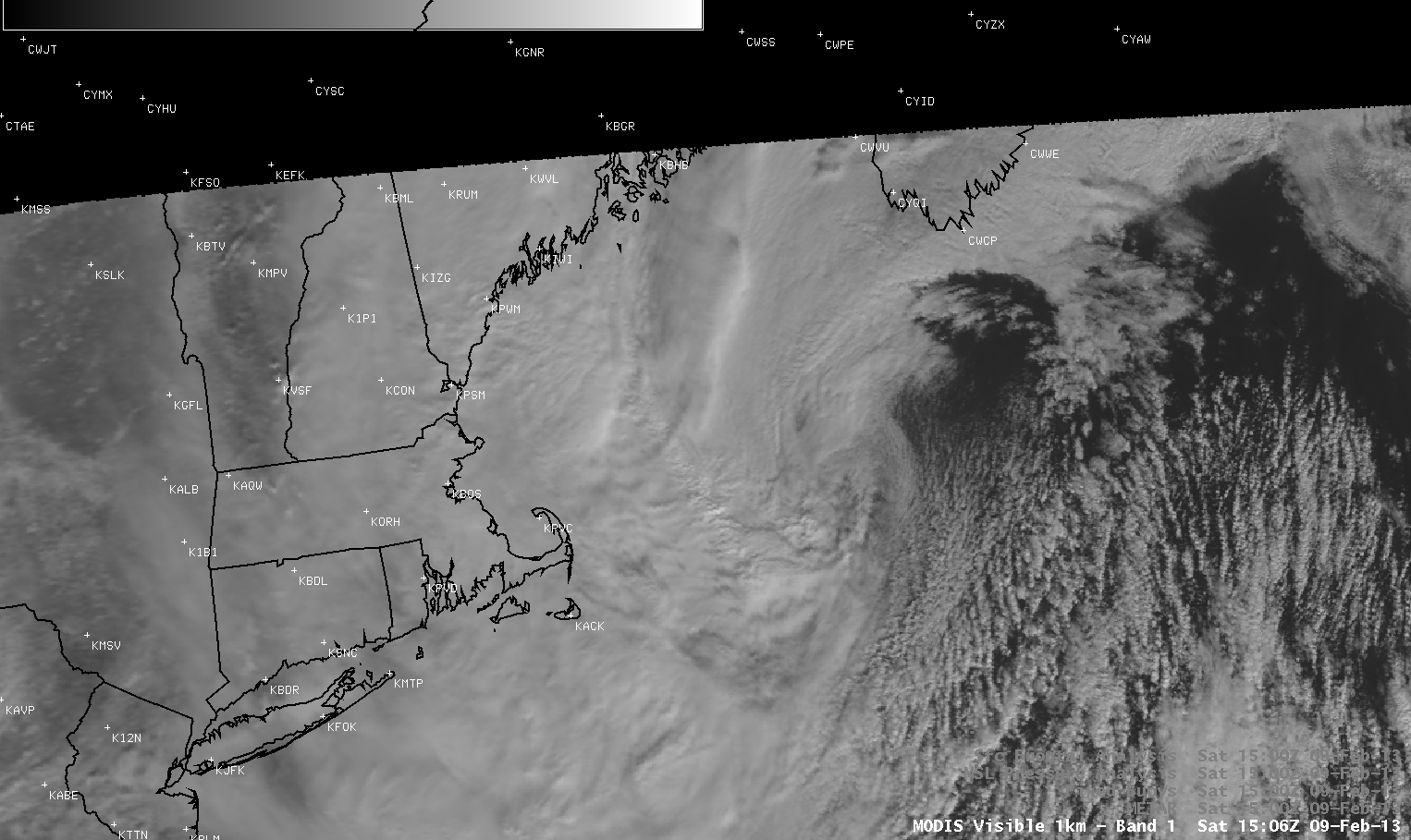
As the storm was nearing peak intensity on the morning of
09 February 2013, the formation of a tight circulation around its center was becoming evident in 1-km resolution Visible images with overlays of surface data from MODIS at 15:06 UTC
(above) and VIIRS at 17:01 UTC
(below).
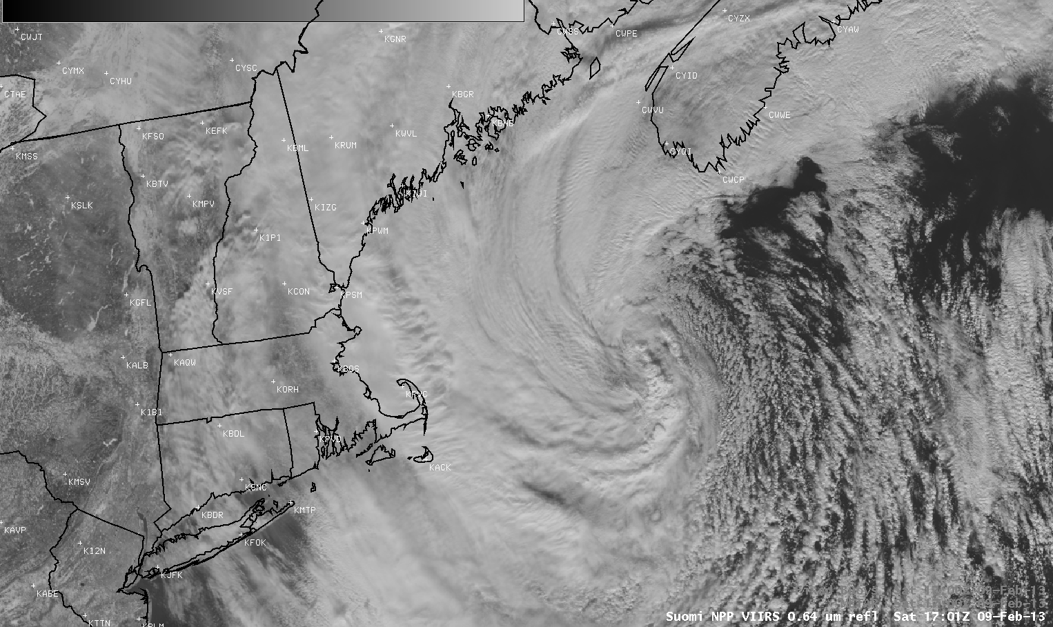
Suomi NPP VIIRS 0.64 µm Visible image, with surface/buoy reports [click to enlarge]
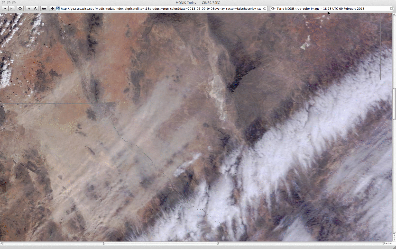
A 250-meter resolution MODIS true-color Red-Green-Blue (RGB) image from the
SSEC MODIS Today site
(below; displayed using Google Earth) showed the locations of maximum snowfall totals for select states (which included 40.0 inches at Hamden, Connecticut), as well as some of the maximum wind gusts (which included 83 mph at Cuttyhunk, Massachusetts).
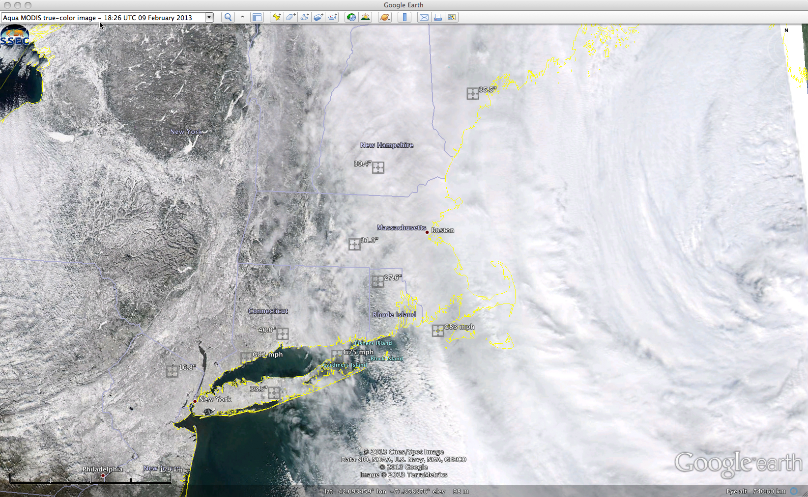
MODIS true-color Red-Green-Blue (RGB) image with maximum storm total snowfall amounts and peak wind gusts [click to enlarge]
GOES-13 Water Vapor imagery, displayed in a 2-day loop below, captures many interesting aspects of this potent storm.
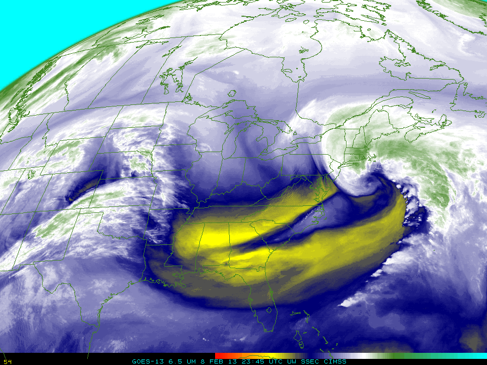
GOES-13 6.5 µm Water Vapor images (click to play animation)
View only this post
Read Less


")
")
