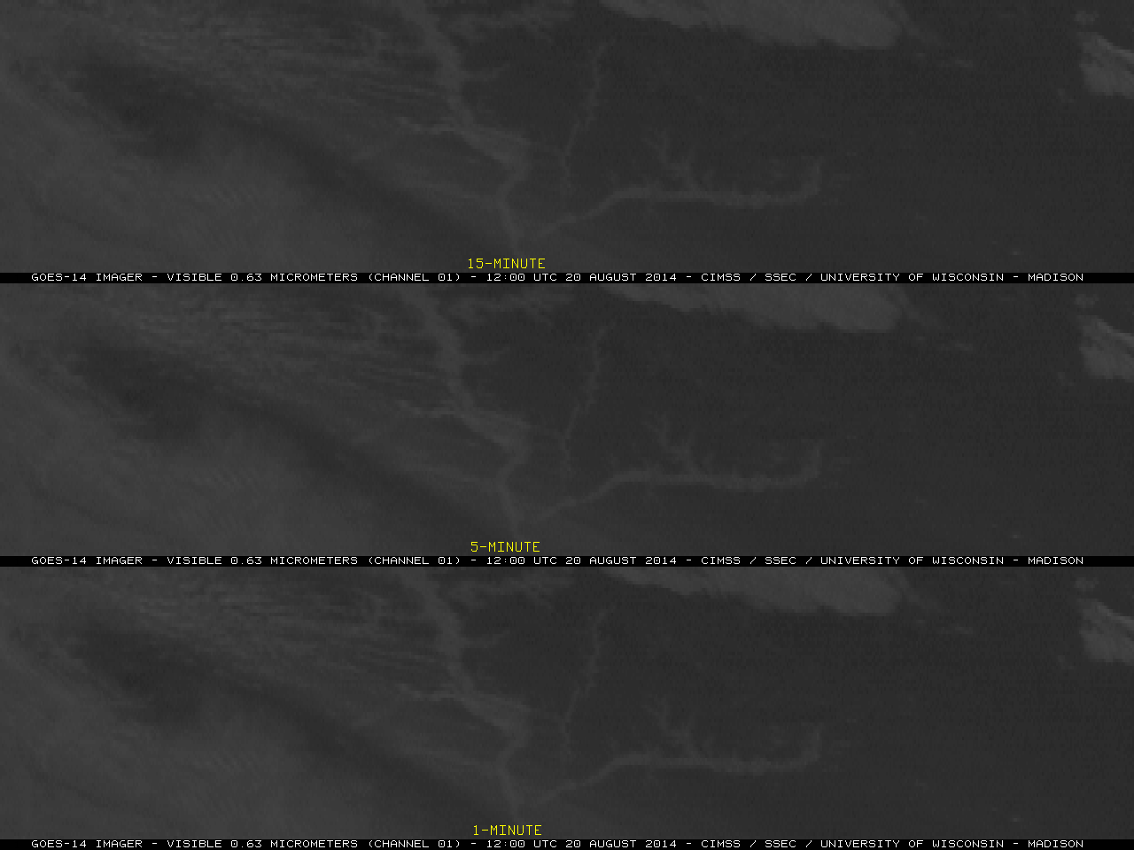
The VIIRS Day/Night Band image toggle above shows nighttime cloud cover over southern Wisconsin associated with a line of deep convection; note how some city lights are not seen (Madison WI KMSN at 0659 UTC, and Milwaukee WI KMKE at 0838 UTC). There are several reasons this may have happened.... Read More
Suomi NPP VIIRS Day/Night Band at 0659 UTC and 0838 UTC, 19 August 2014 (click to enlarge)
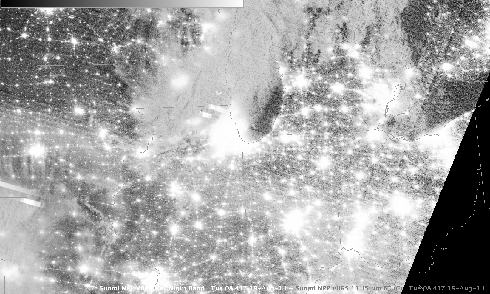
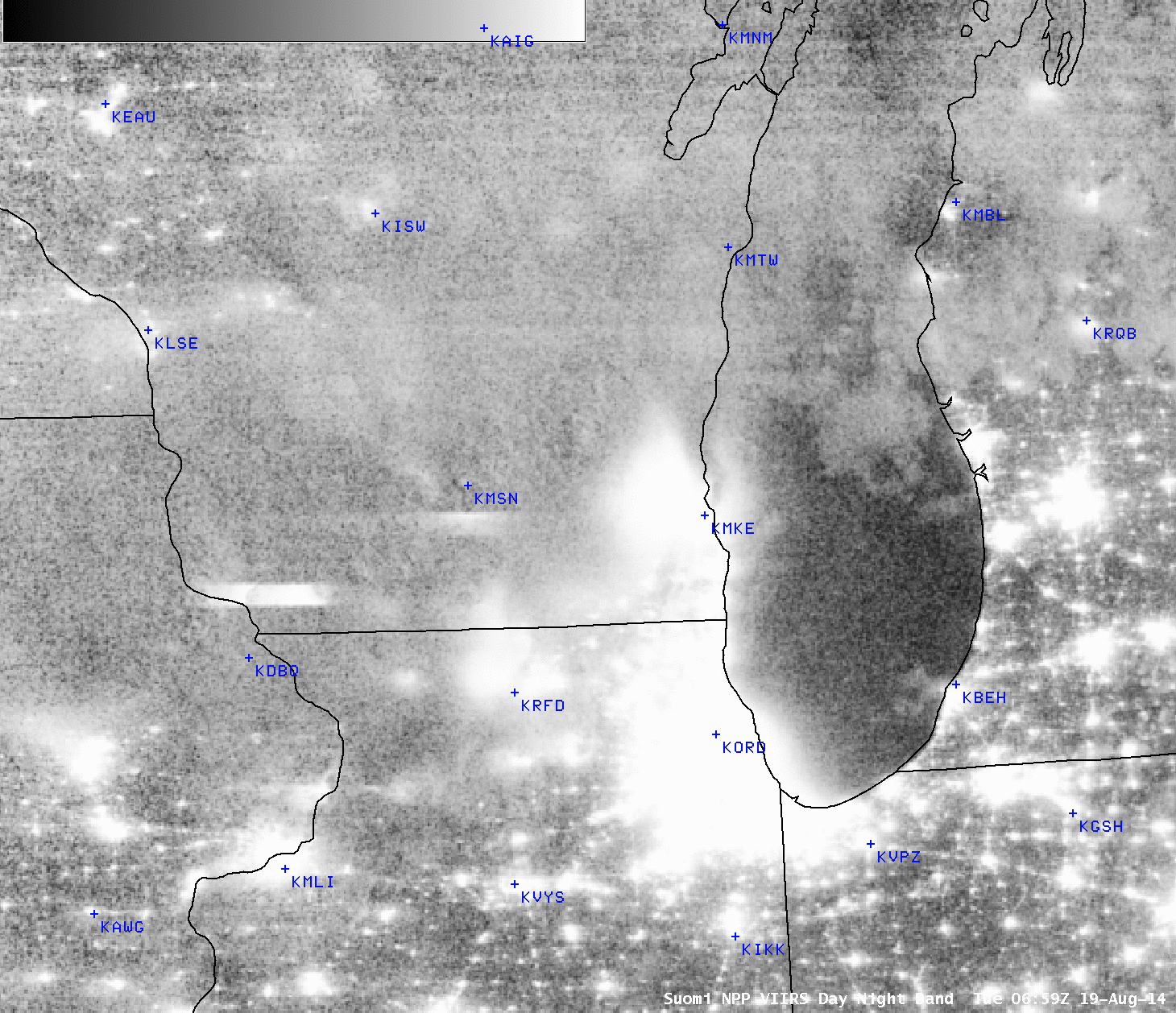
The VIIRS Day/Night Band image toggle above shows nighttime cloud cover over southern Wisconsin associated with a line of deep convection; note how some city lights are not seen (Madison WI KMSN at 0659 UTC, and Milwaukee WI KMKE at 0838 UTC). There are several reasons this may have happened. For example, the convection could have knocked out power over a large region (this did not happen). Scattering associated with the thick convective clouds may have attenuated the city light so much that it could not be detected.
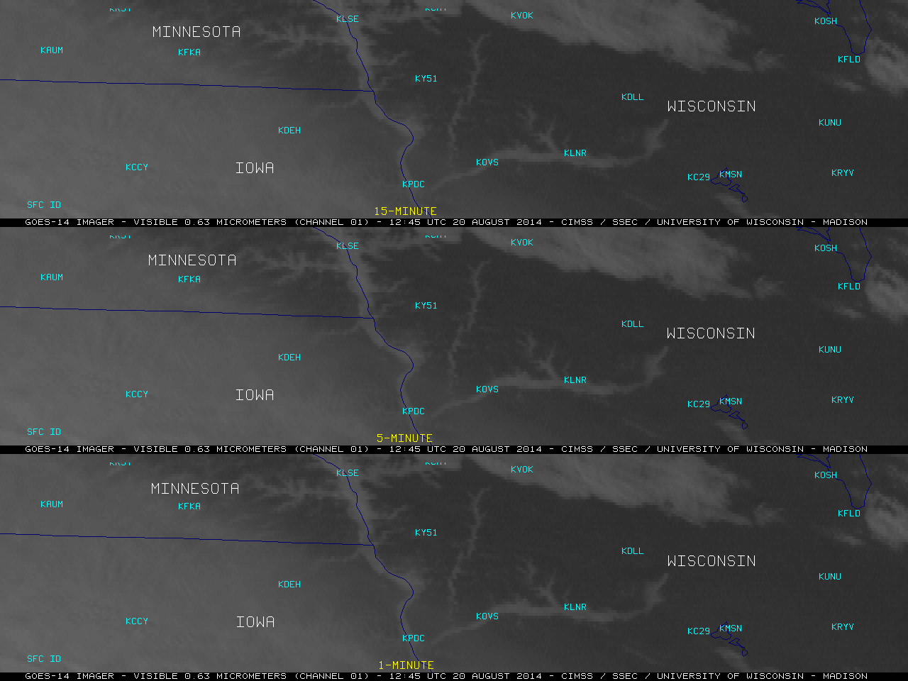
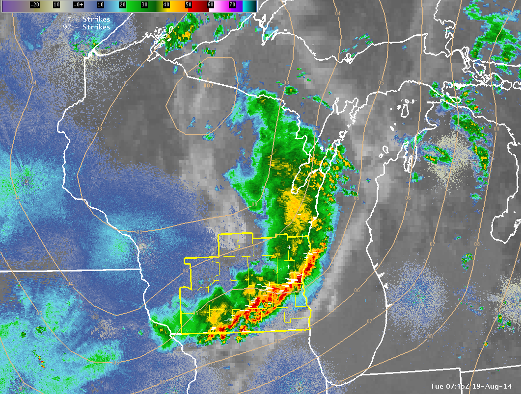
The toggle below of the corresponding VIIRS 11.45 µm Infrared imagery shows very cold cloud tops (-60º to -70º C, near the tropopause) over Madison at 0659 UTC (the observation at 0653 UTC at the Madison airport was Heavy Rain with a Thunderstorm) and over Milwaukee at 0838 UTC (when the Milwaukee airport was having Moderate Rain; they received a half-inch of rain between 0753 and 0853 UTC). The combination of the thick convective cloud and especially the heavy rain is very likely why city lights cannot be seen at certain times, as liquid water is an excellent absorber of visible light. This radar image (from this story) shows the areal extent of the heavy rain at 0745 UTC on 19 August.
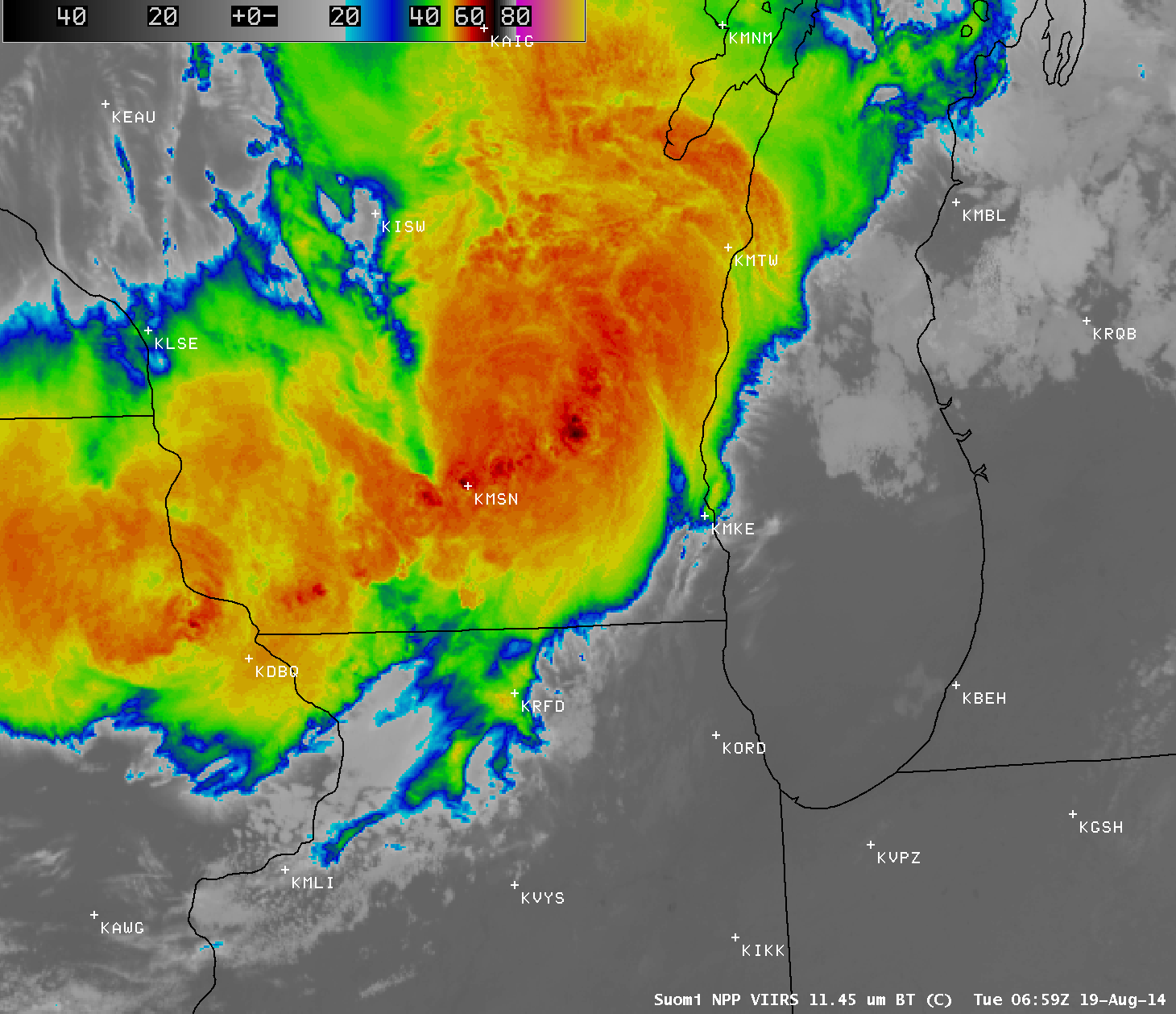
Suomi NPP VIIRS 11.45 µm Infrared imagery at 0659 UTC and 0838 UTC, 19 August 2014 (click to enlarge)
View only this post
Read Less


