This website works best with a newer web browser such as Chrome, Firefox, Safari or Microsoft Edge. Internet Explorer is not supported by this website.

The King Fire in California

The King Fire began burning in central California (between Sacramento and Lake Tahoe) during the evening hours on 13 September 2014. A sequence of daily (12-19 September) Suomi NPP VIIRS true-color Red/Green/Blue (RGB) images from the SSEC RealEarth web map... Read More

Suomi NPP VIIRS true-color images

Suomi NPP VIIRS true-color images

The King Fire began burning in central California (between Sacramento and Lake Tahoe) during the evening hours on 13 September 2014. A sequence of daily (12-19 September) Suomi NPP VIIRS true-color Red/Green/Blue (RGB) images from the SSEC RealEarth web map server site (above) showed that as the prevailing southwesterly wind pattern switched to easterly on 19 September, there was a major change in the transport of smoke from the King Fire. The final image in the series zooms out to show how much of central California had become over-run with thick smoke.

A comparison of AWIPS-II images of Suomi NPP VIIRS 0.7 µm Day/Night Band and 3.74 µm shortwave IR image at 09:18 UTC or 2:18 AM local time (below) revealed the bright glow of the large fire complex, along with the large fire “hot spot” signature (black to yellow to red color enhancement).

Suomi NPP VIIRS 0.7 µm Day/Night Band and 3.74 µm shortwave IR images

Suomi NPP VIIRS 0.7 µm Day/Night Band and 3.74 µm shortwave IR images

Suomi NPP VIIRS 3.74 µm shortwave IR images during the overnight hours (just after 2 AM local time) on 17 and 18 September (below) showed the dramatic northeastward advance of the fire hot spot signature during that 24-hour period. Smoke from the fire was reducing the surface visibility to 3-4 miles as far to the northeast as Lovelock (KLOL) and Fallon (KNFL) in Nevada.

Suomi NPP VIIRS 3.74 µm shortwave IR images

Suomi NPP VIIRS 3.74 µm shortwave IR images

View only this post Read Less

GOES Cloud Top Cooling Rate product used for SPC Mesoscale Discussion

Using the GOES-R Cloud Top Cooling Rate product (applied to GOES-13 data), the Storm Prediction Center issued a Mesoscale Discussion (above) highlighting the risk of strong thunderstorms producing hail and/or strong wind gusts over parts of the... Read More

Storm Prediction Center Mesoscale Discussion #1724

Storm Prediction Center Mesoscale Discussion #1724

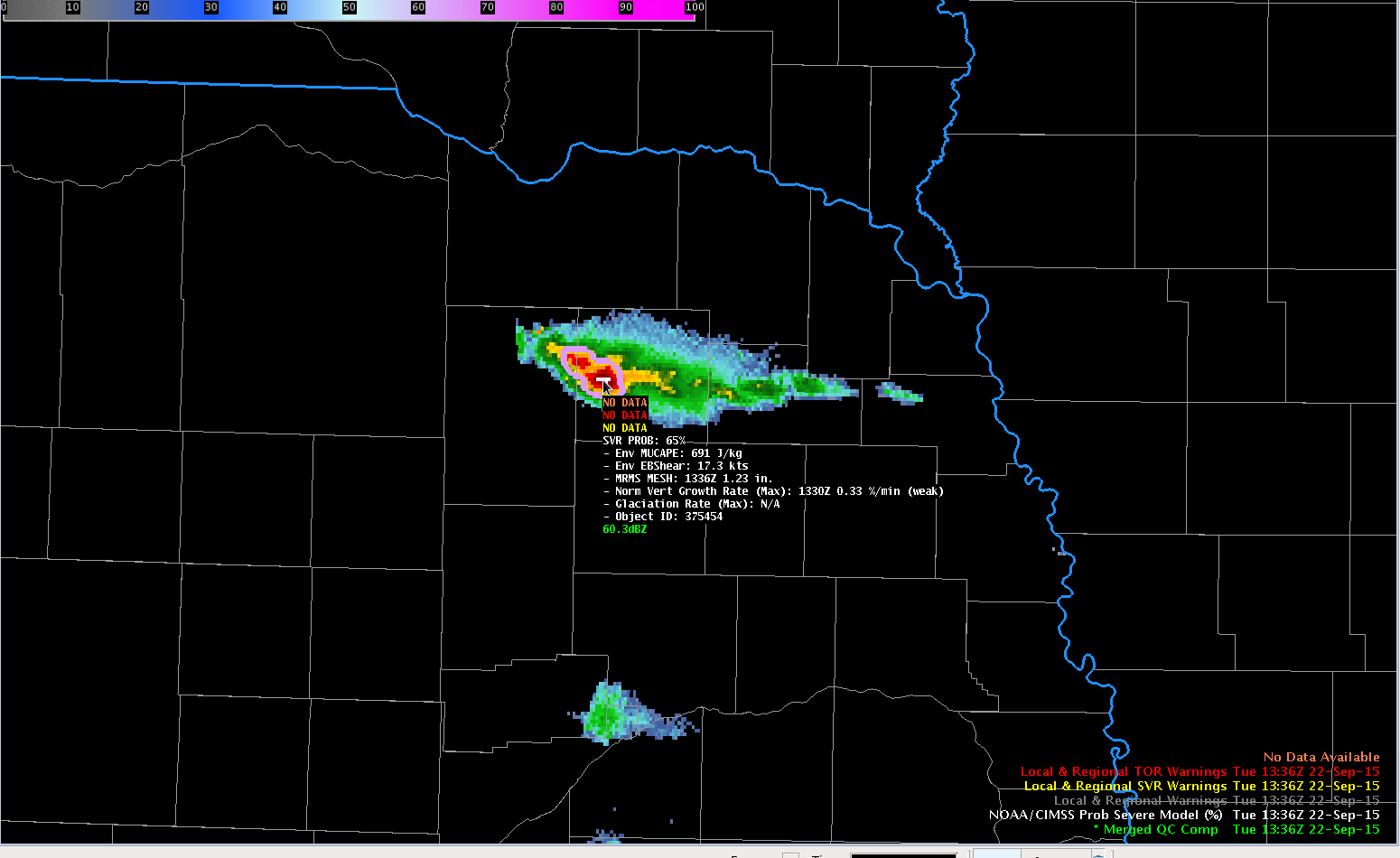
Using the GOES-R Cloud Top Cooling Rate product (applied to GOES-13 data), the Storm Prediction Center issued a Mesoscale Discussion (above) highlighting the risk of strong thunderstorms producing hail and/or strong wind gusts over parts of the Georgia/South Carolina border region on 17 September 2014. According to the SPC storm reports, there was hail up to 1.0 inch in diameter in addition to some tree and power line damage in southern South Carolina.

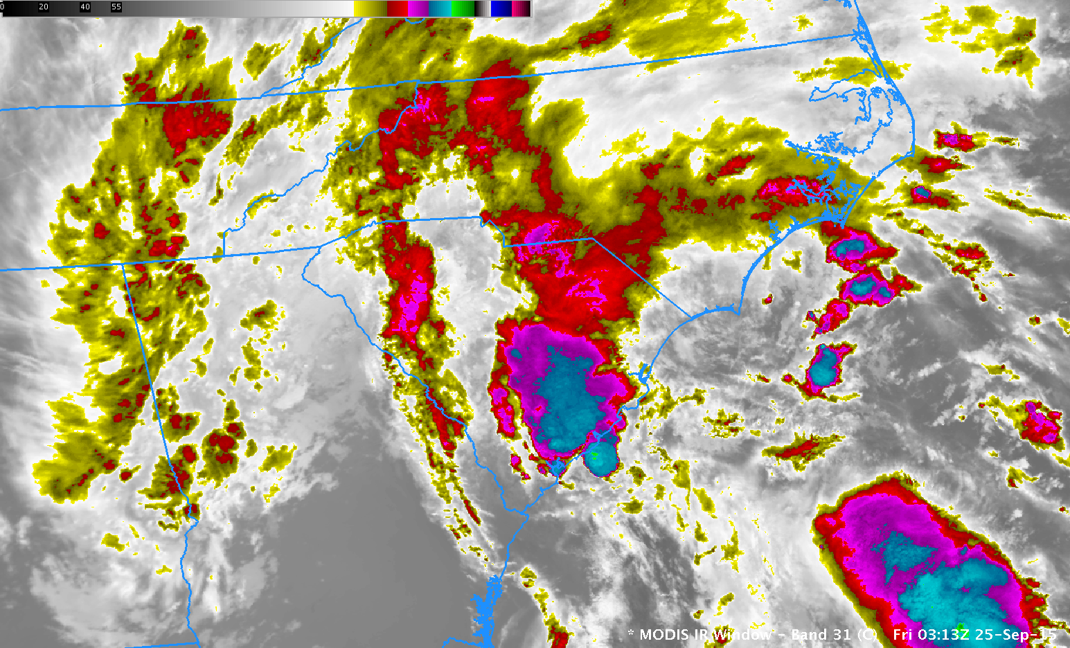
AWIPS II image combinations of the Cloud Top Cooling (CTC) rate product (colors) and the GOES-13 10.7 µm IR channel gray-scale images  (below; click image to play animation) showed that CTC rate values for the storm north of Augusta, Georgia (KAGS) at 19:00 UTC were as high as -16º C per 15 minutes; at 19:15 UTC, the CTC rate value for that storm was as high as -39º C per 15 minutes. The first Severe Thunderstorm Warning for this storm was later issued at 19:34 UTC.

Cloud Top Cooling Rate (colors) and GOES-13 10.7 µm IR (grayscale) images [click to play animation]

Cloud Top Cooling Rate (colors) and GOES-13 10.7 µm IR (grayscale) images [click to play animation]

GOES-13 10.7 µm IR channel images (below; click image to play animation) showed the rapidly cooling cloud-top IR brightness temperatures associated with these thunderstorms as they moved southeastward and intensified: the coldest value for the aforementioned thunderstorm was -40º C at 19:00 UTC, dropping to -62º C by 20:45 UTC.

GOES-13 10.7 µm IR channel images [click to play animation]

GOES-13 10.7 µm IR channel images [click to play animation]

About an hour later, another Severe Thunderstorm Warning was issued at 20:30 UTC for a storm near and south of Orangeburg, South Carolina (KOGB).

View only this post Read Less

Hurricane Odile

A time series plot of the Advanced Dvorak Technique (ADT) intensity estimate for Hurricane Odile (above) showed that the tropical cyclone went through a period of rapid intensification on 14 September 2014, reaching Category 4 on the Read More

Advanced Dvorak Technique (ADT) plot for Hurricane Odile

Advanced Dvorak Technique (ADT) plot for Hurricane Odile

A time series plot of the Advanced Dvorak Technique (ADT) intensity estimate for Hurricane Odile (above) showed that the tropical cyclone went through a period of rapid intensification on 14 September 2014, reaching Category 4 on the Saffir-Simpson hurricane scale as it moved northwestward toward the southern tip of Baja California (Odile track map).

McIDAS images of GOES-15 10.7 µm IR channel data covering the 13-15 September period (below; click image to play animated GIF; also available as an MP4 movie file) showed Odile from the period of rapid intensification on the 14th to landfall on the 15th. Odile made landfall near Cabo San Lucas around 04:45 UTC on 15 September, with an estimated intensity of 110 knots — this ties with Hurricane Olivia (1967) as the strongest hurricane to make landfall in Baja California Sur during the modern satellite era.

GOES-15 10.7 µm IR channel images (click to play animated GIF)

GOES-15 10.7 µm IR channel images (click to play animated GIF)

Several hours prior to landfall, a comparison of GOES-15 10.7 µm IR and DMSP SSMIS 85 GHz microwave images from the CIMSS Tropical Cyclones site (below) indicated that Odile had a large outer eyewall at that particular point in time.

GOES-14 10.7 µm IR channel image and DMSP SSMIS 85 GHz microwave image

GOES-14 10.7 µm IR channel image and DMSP SSMIS 85 GHz microwave image

Even after several hours of traversing the rugged terrain of the Baja California peninsula, Odile continued to maintain hurricane intensity; the faint signature of an eye could still be seen on AWIPS II images of Suomi NPP VIIRS 0.64 µm visible channel and 11.45 µm IR channel data at 22:34 UTC on 15 September (below).

Suomi NPP VIIRS 0.64 µm visible channel and 11.45 µm IR channel images

Suomi NPP VIIRS 0.64 µm visible channel and 11.45 µm IR channel images

View only this post Read Less

Record rainfall and flooding in Arizona

McIDAS images of 4-km resolution GOES-15 10.7 µm IR channel data (above; click image to play animation; also available as an MP4 movie file) showed the merger of two large mesoscale convective systems (MCS) which produced an all-time record maximum calendar day precipitation amount of 3.29... Read More

GOES-15 10.7 µm IR channel images (click to play animation)

GOES-15 10.7 µm IR channel images (click to play animation)

McIDAS images of 4-km resolution GOES-15 10.7 µm IR channel data (above; click image to play animation; also available as an MP4 movie file) showed the merger of two large mesoscale convective systems (MCS) which produced an all-time record maximum calendar day precipitation amount of 3.29 inches at Phoenix Sky Harbor Airport (PHX) on 08 September 2014. Some locations in the Phoenix area received in excess of 5 inches of rainfall (NWS Phoenix event summary).

An AWIPS-II image of 375-meter resolution Suomi NPP VIIRS 11.45 µm IR channel data (below) showed the MCS pair at 09:07 UTC or 3:07 AM local time —  this was prior to the merger, and the southeastern storm exhibited a minimum cloud-top IR brightness temperature of -84º C (purple color enhancement), which was much colder than the -71º C seen with the northwestern storm. At the onset of the heavy thunderstorms at PHX, southerly to southeasterly winds  — likely outflow from the southeastern MCS — gusted as high as 31 knots (36 mph) and visibility was reduced to 0.8 mile (surface reports: text | graph).

Suomi NPP VIIRS 11.45 µm IR channel image

Suomi NPP VIIRS 11.45 µm IR channel image

As the circulation of former-Hurricane Norbert continued to spin over the Pacific Ocean west of Baja California, deep tropical moisture kept working its way farther inland — GOES sounder Total Precipitable Water (TPW) values in excess of 50-60 mm (2.0 to 2.4 inches) were eventually seen across the southwestern half of Arizona (below; click image to play animation).

GOES sounder Total Precipitable Water derived product images (click to play animation)

GOES sounder Total Precipitable Water derived product images (click to play animation)

The Blended Total Precipitable Water product (below; click image to play animation) also showed values of 50-60 mm working their way into southwestern Arizona during the 06-08 September period.

Blended Total Precipitable Water product (click to play animation)

Blended Total Precipitable Water product (click to play animation)

The Percent of Normal TPW product (below; click image to play animation) indicated that these TPW values were in excess of 200% of normal (yellow color enhancement) over large portions of the Desert Southwest. On the morning of 08 September, the TPW value of 2.03 inches derived from rawinsonde data at Tucson, Arizona set a record high for the month of September at that location.

Percent of Normal TPW product (click to play animation)

Percent of Normal TPW product (click to play animation)

View only this post Read Less