GOES-14 SRSO-R Imagery over North Carolina
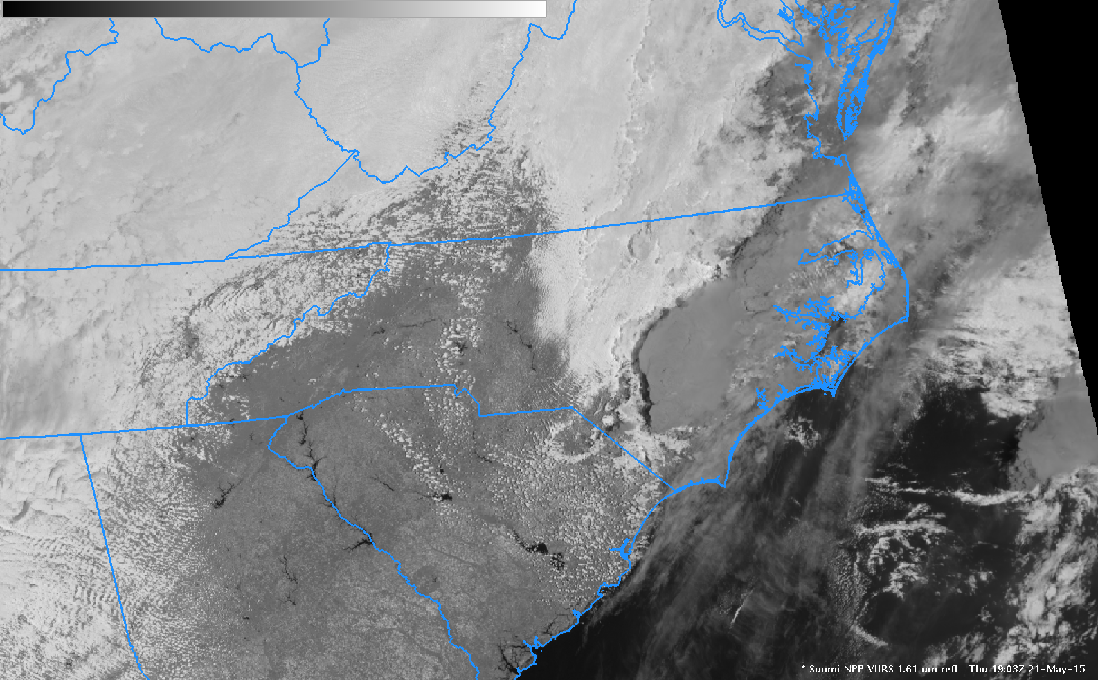
GOES-14 0.62 µm visible imagery, above, (here as an mp4, and here as a very large (220+ megabytes) animated gif) shows the development of convection over eastern North Carolina in a region of slight risk according to SPC (below). ==================================================================================Mesoscale Discussion #713 from SPC, below, referenced the Super-Rapid scan imagery:MESOSCALE DISCUSSION 0713 NWS STORM PREDICTION CENTER NORMAN... Read More
