Convection Returns to the central Great Plains
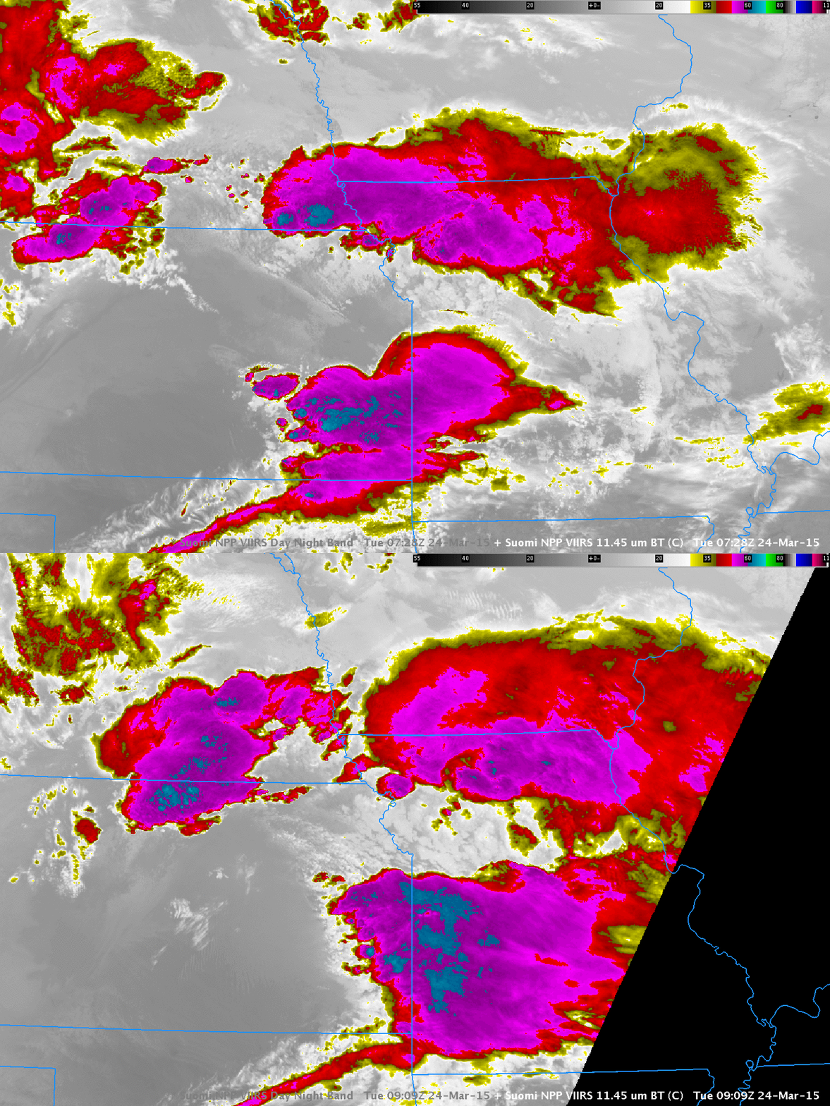
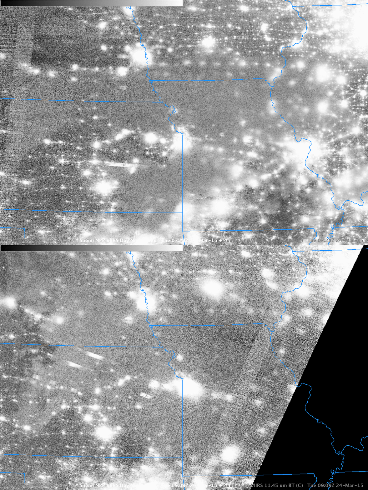
The ongoing change in seasons was accompanied last night by a round of convection over the Missouri River Valley. Suomi NPP 11.45 µm imagery from overnight shows scattered convection over Kansas, Missouri and Iowa at 0728 and 0909 UTC. Coldest cloud tops are around -65 C. The Day-Night band showed lightning streaks at both times as well, over east-central Kansas at 0728 and north-central Kansas 0909 UTC.
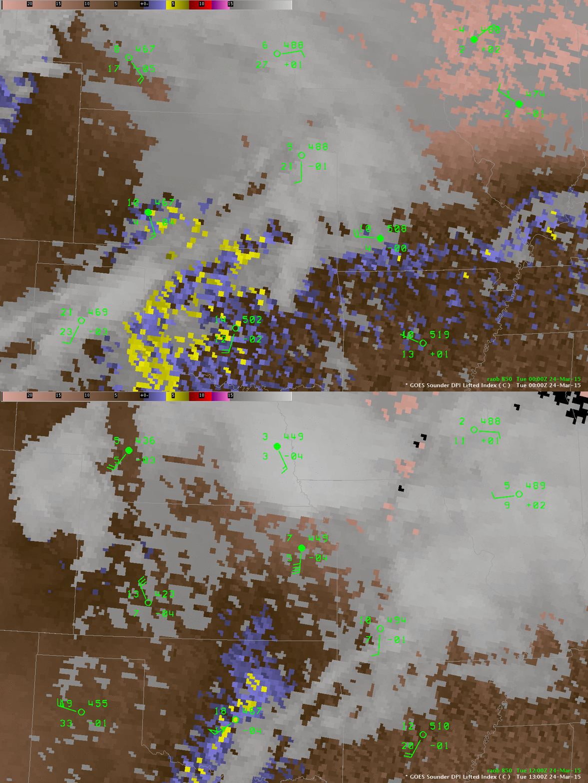
The GOES Sounder showed the unstable air that was feeding into this convection. Imagery at three-hourly intervals, above, shows values between 0 and -4 persisting over the central Plains. Plots of 850-mb data on top of the GOES Sounder DPI Lifted index, below, shows the development of strong warm advection over the central Plains that helped feed moisture into the developing convection.
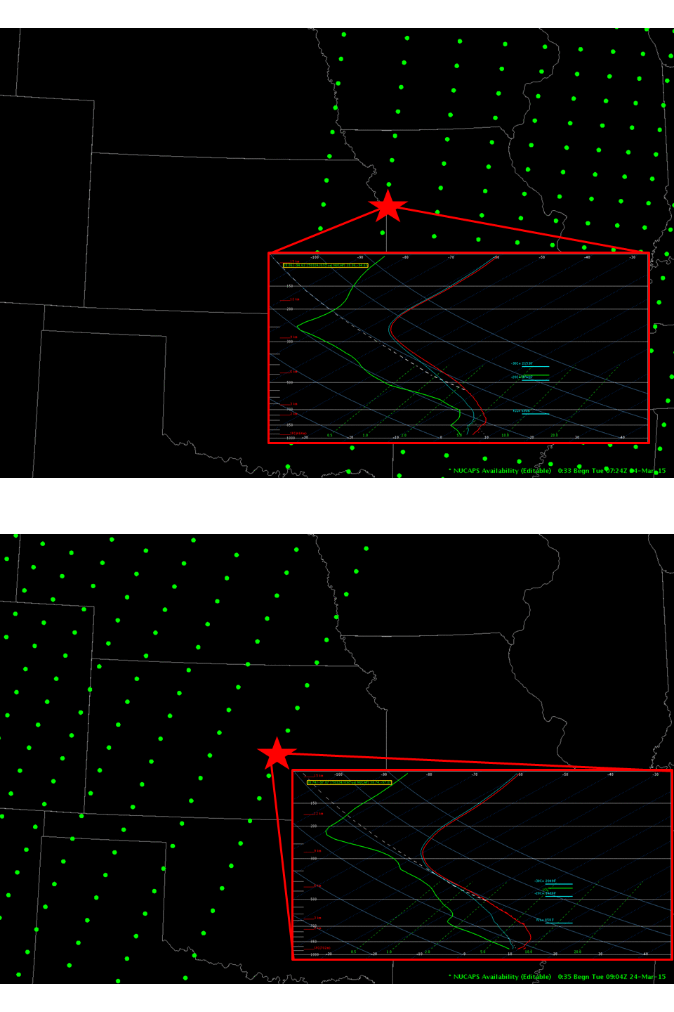
NUCAPS soundings, created from both CrIS and ATMS data on board Suomi NPP, below, showed steepening mid-level lapse rates over/near Kansas. This convection likely was not surface-based.


