Search results for goes convection

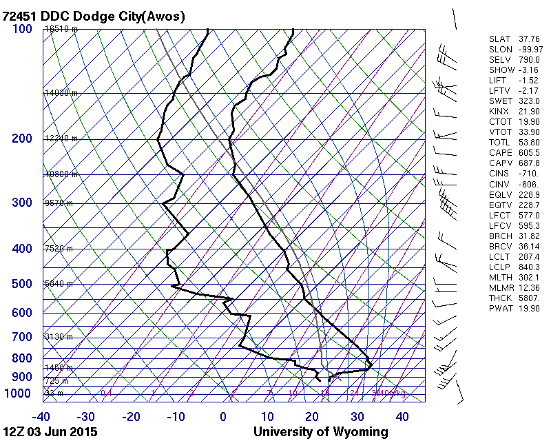
Bore over Kansas
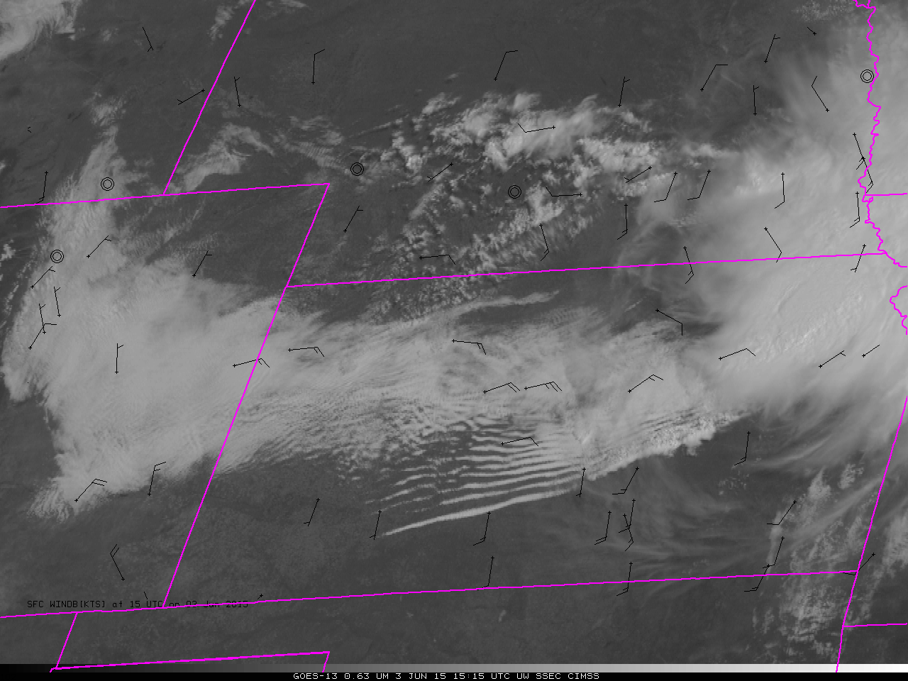
Visible imagery after sunrise on 3 June 2015 over Kansas, above, shows the parallel lines of low clouds that characterize a bore feature. As the bore penetrated southward, winds initially shifted before becoming more variable. Bore propagation requires the presence of an inversion, and 1200 UTC Soundings from both Dodge City... Read More
Water Vapor Animations for May 2014 and May 2015
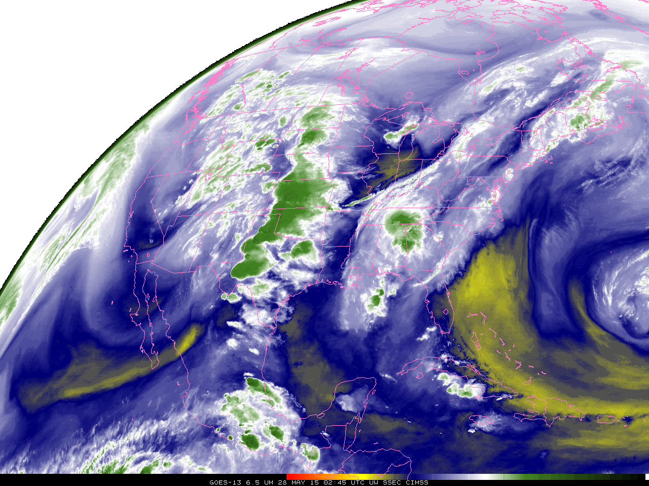
Historically heavy rains fell over the southern Plains in May of 2015, with numerous stations setting record monthly rainfall marks. For example, Oklahoma City reported 19.48″ of rain in May 2015; the previous record wet month was 14.66″, set in June 1989 (14.52″ of rain fell in May 2013). The... Read More
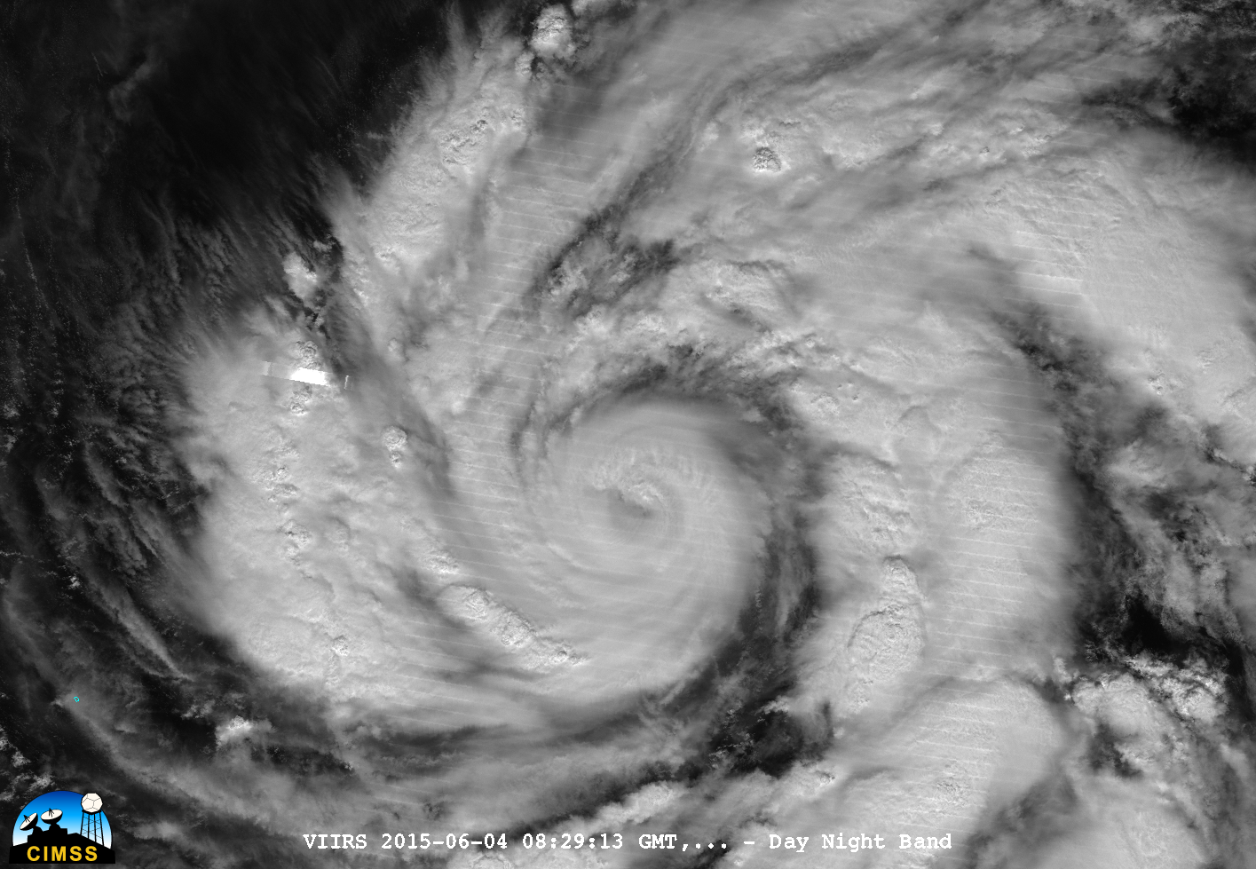
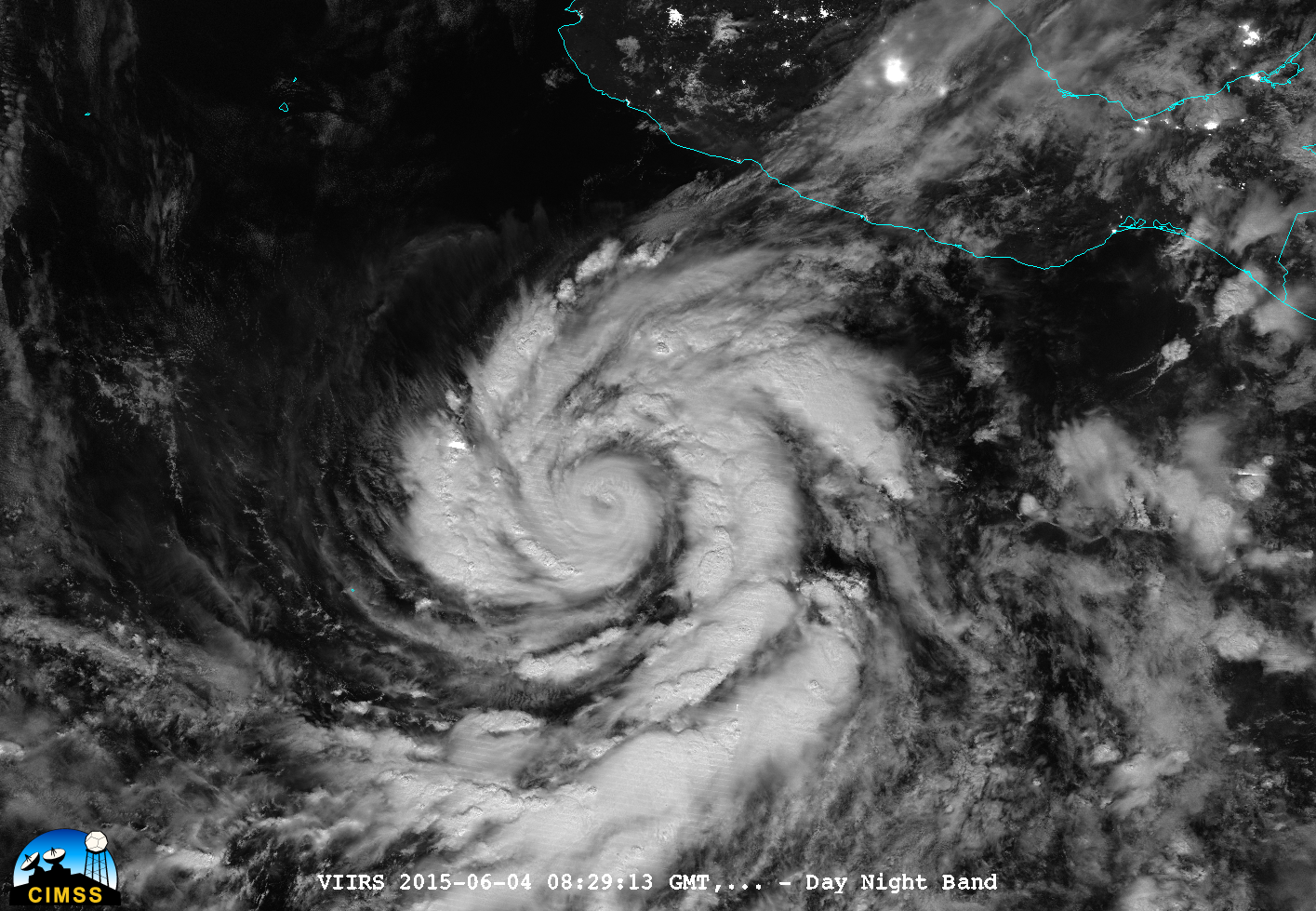
Tropical Disturbance off the Southeast US Coast
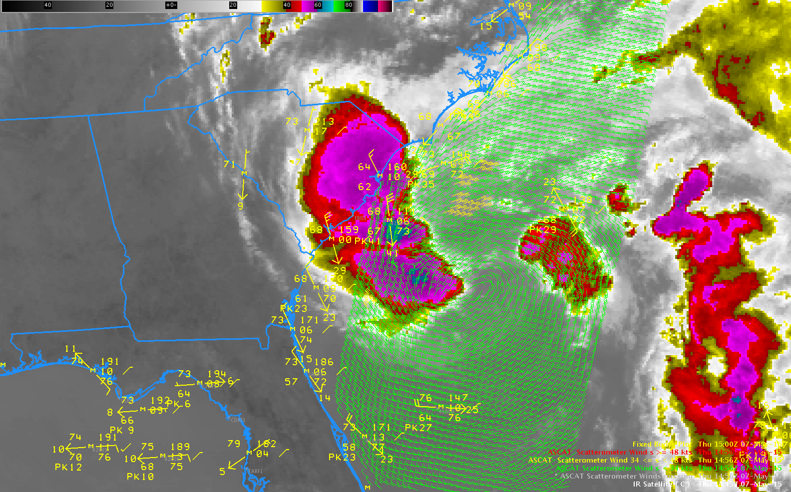
A disorganized subtropical system (Invest Area 90L) located over the southwest Atlantic to the east of Georgia and north of the Bahamas has the potential to become the first named system of the 2015 Atlantic Tropical Season (if named as a subtropical storm, this would be Ana). Visible imagery, above,... Read More
