This website works best with a newer web browser such as Chrome, Firefox, Safari or Microsoft Edge. Internet Explorer is not supported by this website.

Fires in Kansas/Oklahoma, and continued river flooding in the Ohio Valley

A comparison of AWIPS images of the GOES-12 3.9µm and the MODIS 3.7µm “shortwave IR” channels (above) revealed that numerous small fires were burning across parts of eastern Kansas and northeastern Oklahoma during the afternoon of 06 April 2008. Note how the 1-km resolution MODIS imagery did a better job... Read More

GOES + MODIS shortwave IR images (Animated GIF)

A comparison of AWIPS images of the GOES-12 3.9µm and the MODIS 3.7µm “shortwave IR” channels (above) revealed that numerous small fires were burning across parts of eastern Kansas and northeastern Oklahoma during the afternoon of 06 April 2008. Note how the 1-km resolution MODIS imagery did a better job of detecting more of the smaller fire “hot spots” (yellow to red pixels) than the corresponding 4-km resolution GOES-12 imagery, and many more hot fires (with brightness temperature values of 50ºC or greater) were seen on the MODIS imagery.

These small fires were the result of agricultural burning to prepare fields for a new round of planting. AWIPS images of the MODIS visible and Normalized Difference Vegetation Index (NDVI) product (below) indicated that much of eastern Kansas and northeastern Oklahoma (where these fires were burning to clear cropland) exhibited much lower NDVI values of 0.2 to 0.3 (pale yellow to beige colors), while higher NDVI values of 0.5 to 0.7 (darker green colors) were seen in surrounding areas (where mature crops or dense trees and other vegetation dominated the landscape).

MODIS visible + NDVI images (Animated GIF)

Farther to the east, the impacts of the ongoing episode of extensive river flooding in the Ohio River Valley region were quite apparent by examining MODIS false color imagery from the SSEC MODIS Today site (below) — water appears dark blue in the false color imagery, allowing swollen rivers and flooded areas to be easily identified. According to the NWS Advanced Hydrologic Prediction Service site, parts of Missouri, Illinois, Indiana, and Kentucky had received 10-20 inches of precipitation in the 30 day period ending on 06 April, which was 200-400% above normal.
MODIS true color + false color images (Animated GIF)

View only this post Read Less
Severe weather in Arkansas

Severe convection developed in the warm sector of a cyclone that was moving through the mid-Mississippi River Valley region, producing widespread reports of heavy rain, damaging winds, hail, and tornadoes on the evening of 03 April 2008 (SPC storm reports | NWS Little Rock AR report). An AWIPS image of the MODIS 11.0µm IR channel (above) shows the... Read More

MODIS IR image + fronts

Severe convection developed in the warm sector of a cyclone that was moving through the mid-Mississippi River Valley region, producing widespread reports of heavy rain, damaging winds, hail, and tornadoes on the evening of 03 April 2008 (SPC storm reports | NWS Little Rock AR report). An AWIPS image of the MODIS 11.0µm IR channel (above) shows the surface frontal positions and mean sea level pressure analysis at 03 UTC (10 PM local time).

GOES-12 10.7µm IR images (Animated GIF)

AWIPS images of the GOES-12 10.7µm “IR window” channel (above) shows that a well-defined “enhanced-V signature” developed in the vicinity of Hot Springs, Arkansas (station identifier KHOT) after 01:15 UTC (8:15 PM local time) — hail of 1.75 inches in diameter was reported at Bonnerville (located just southwest of Hot Springs) around 01:10 UTC (8:10 PM local time). Heavy rain (6.44 inches) fell at Glenwood (also located southwest of Hot Springs). This enhanced-v storm then continued to move northeastward toward the Little Rock area (station identifier KLIT), where it produced tornadoes that damaged parts of Little Rock during the 02:50-03:10 UTC (9:50-10:10 PM local time) period — one tornado actually forced the staff of the National Weather Service Forecast Office at North Little Rock Airport to take cover for a short time while the storm moved close to the facility. The second-highest wind gust on record (64 mph) was also recorded at North Little Rock Airport during this event.

GOES-12 IR images + lightning (Animated GIF)

Cloud to ground (CG) lightning strikes plotted on the GOES-12 IR imagery (above) revealed that a cluster of CG strikes was associated with the vertex of the enhanced-v signature on satellite imagery. As is typically the case, this storm was negative strike dominant, with positive strikes making up less than 10% of the total cloud to ground lightning strikes.

GOES-12 + NOAA-17 IR images (Animated GIF)

A comparison of 4-km resolution GOES-12 IR imagery with 1-km resolution NOAA-17 AVHRR IR imagery (above) demonstrates the improved storm top temperature detection capability of the polar-orbiting AVHRR instrument. In particular, a closer view of the developing enhanced-v signature near the Arkansas/Missouri border region (below) shows finer detail in the temperature fields and the magnitude of the enhanced-v cold/warm cloud top temperature couplet (-81ºC/-61ºC on the AVHRR image, versus -75ºC/-64ºC on the GOES-12 image).

GOES-12 + NOAA-17 IR images (Animated GIF)

View only this post Read Less

A cold frontal gravity wave along the East Coast?

Lee-side frontal gravity waves are occasionally seen to the east of the Rocky Mountains, moving southward across the High Plains of the central US (for example, see  03 April 2007,... Read More

GOES-12 water vapor images (Animated GIF)

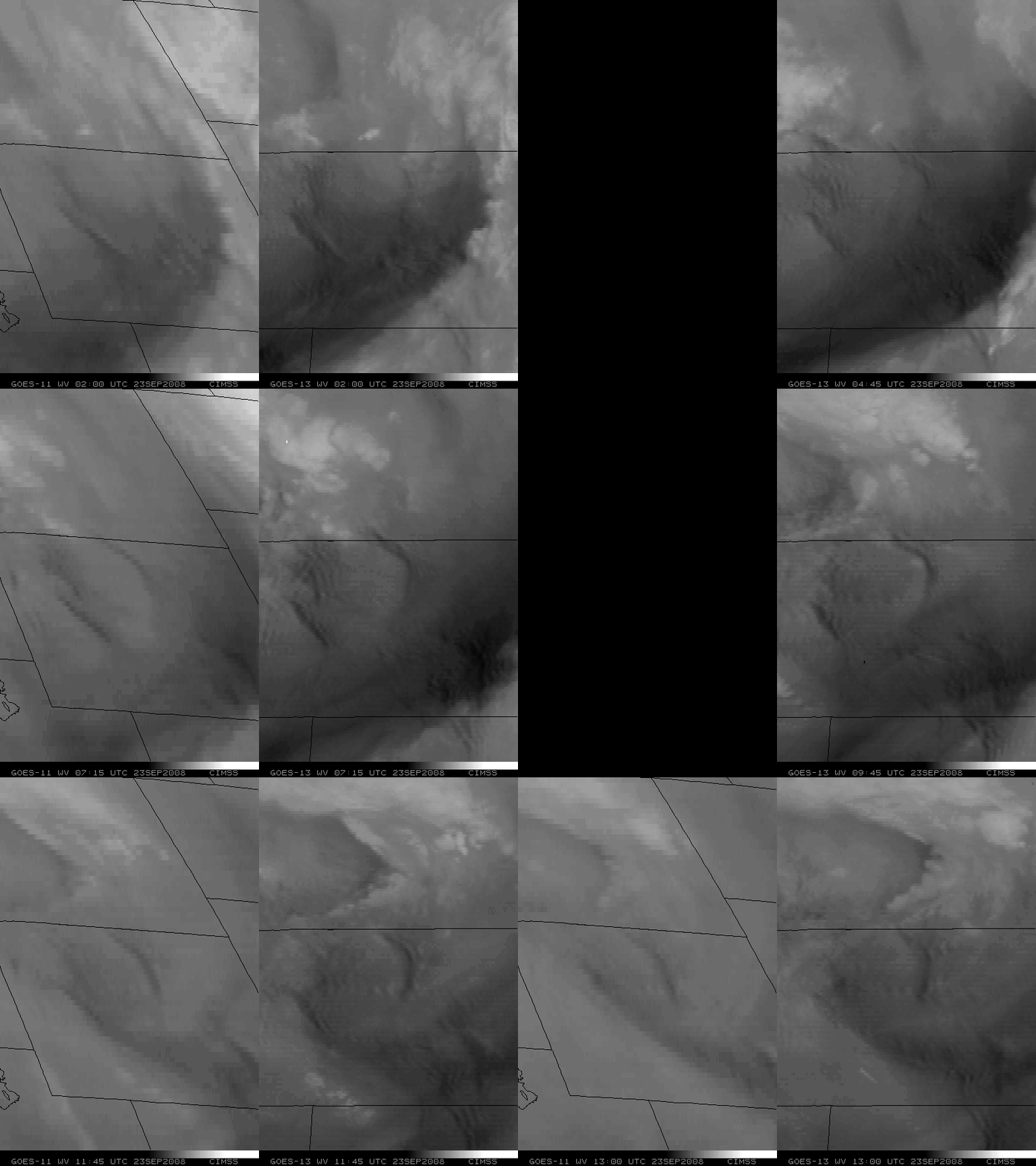
Lee-side frontal gravity waves are occasionally seen to the east of the Rocky Mountains, moving southward across the High Plains of the central US (for example, see  03 April 2007, 07 April 2000, and 12 January 1998). However, a satellite signature of what appeared to be a similar type of feature was observed along the US East Coast on 02 April 2008. AWIPS images of the GOES-12 6.5 µm “water vapor channel” (above) showed the positions of a cold frontal boundary at 3 hour intervals on that day, while more frequent GOES-12 water vapor images viewed using McIDAS (below) revealed the subtle “gravity wave” feature as it propagated southward off the coast of Virginia and North Carolina during the day. Several coastal stations in Virginia and North Carolina reported northerly to northeasterly surface winds of 30 mph (13 meters per second) or greater after the passage of the gravity wave, with offshore buoy and ship reports as high as 38 mph (17 meters per second).

GOES-12 water vapor images (Animated GIF)

View only this post Read Less

Actinae in the North Pacific Ocean

AVHRR false color imagery (above; viewed using Google Earth) and GOES-11 visible channel imagery (below) revealed a family of cyclonic vorticies  propagating westward across the eastern North Pacific Ocean on 29 March... Read More

AVHRR false color images (Animated GIF)

AVHRR false color imagery (above; viewed using Google Earth) and GOES-11 visible channel imagery (below) revealed a family of cyclonic vorticies  propagating westward across the eastern North Pacific Ocean on 29 March 2008. The radially-banded cloud features that form such cloud swirls are known as actinae or actinoform clouds, and they are seen occasionally in the marine stratocumulus cloud field over the Pacific Ocean — for example, other similar cases were observed in March 2007 and June 1997. This type of cloud pattern was first observed on TIROS V imagery way back in August 1962 and October 1962.

GOES-11 visible images (Animated GIF)

View only this post Read Less