Man-Yi moves through the Marianas Islands
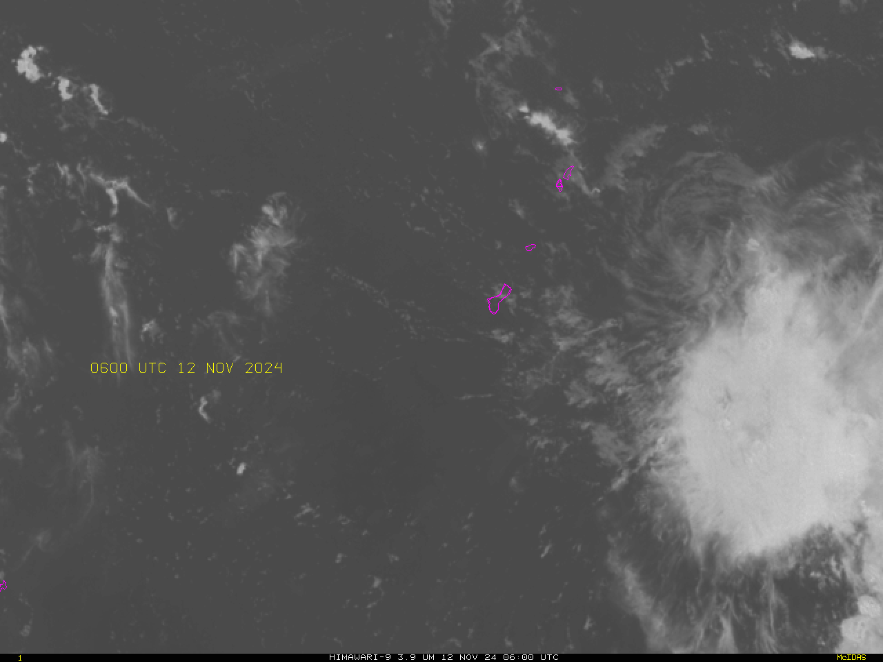
Day Night Band imagery from the three JPSS Satellites — NOAA-21 (1515 UTC), Suomi NPP (1537 UTC) and NOAA-20 (1602 UTC) show Tropical Storm Man-Yi as it approached the southern Marianas Islands early in the morning on 13 November 2024 (Guam Time). These images were created using CSPP Software and data... Read More


