Man-Yi moves through the Marianas Islands

Day Night Band imagery from the three JPSS Satellites — NOAA-21 (1515 UTC), Suomi NPP (1537 UTC) and NOAA-20 (1602 UTC) show Tropical Storm Man-Yi as it approached the southern Marianas Islands early in the morning on 13 November 2024 (Guam Time). These images were created using CSPP Software and data downloaded at the Direct Broadcast site on Guam. The Deep Convection with the system is close to the surface center. That was not the case 12 hours earlier!
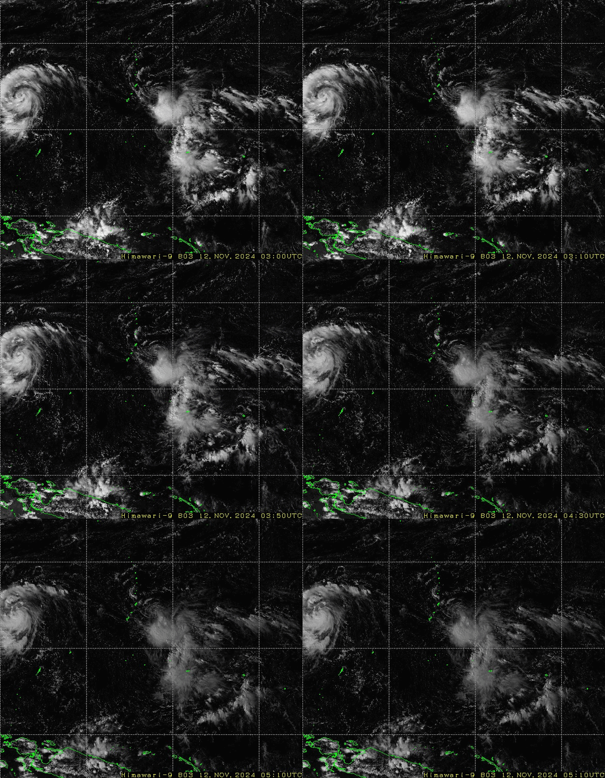
Himiwari-9 visible imagery (Band 3, 0.64 µm), below (from this site), from 0300 – 0510 UTC on 12 November show a low-level swirl of clouds to the northwest of the deepest convection.

Shortwave infrared imagery from Himawari-9 (Band 7, 3.9 µm) shows the low-level circulation separate from the convection until about 1000 UTC. Shortly before that time, convection develops into and persists within the center of the low-level swirl of clouds.

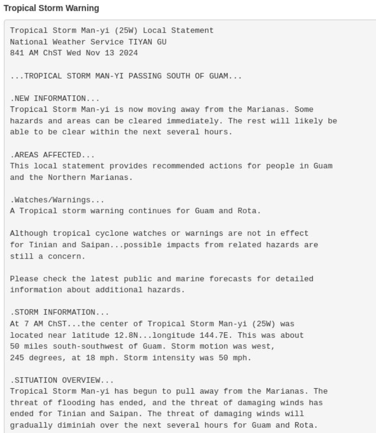
As of 0000 UTC on 13 November, the deepest convection with Man-Yi is passing south of Guam. Winds at the Guam airport are easterly, with gusts to 40 mph. The statement below was issued at 841 AM/13 November Chamorro Standard Time (2241 UTC on 12 November).

Thanks to Douglas Schumacher, CIMSS, for the Day Night Band imagery from Guam.

