This website works best with a newer web browser such as Chrome, Firefox, Safari or Microsoft Edge. Internet Explorer is not supported by this website.

Archive: Mon Nov 2024

30-second GOES-19 images of severe thunderstorms in Texas, Oklahoma and Arkansas

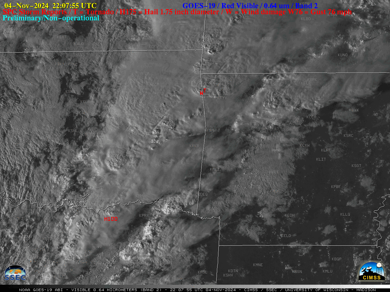
Overlapping 1-minute Mesoscale Domain Sectors provided 30-second interval GOES-19 (Preliminary/Non-operational) “Red” Visible (0.64 µm) images (above) — which showed thunderstorms that produced hail to 1.75″ in diameter, wind gusts to 94 mph and several tornadoes (SPC Storm Reports) across parts of North Texas. eastern Oklahoma and far northwestern Arkansas on 04 November 2024.The corresponding 30-second GOES-19 “Clean” Infrared... Read More

NUCAPS and microwave snow estimates over Alaska

NUCAPS estimates of temperature and dewpoint give swaths of information over the Arctic — a region where conventional observations are uncommon and widely spaced. The toggle above shows a disorganized low pressure system over central Alaska — light snow is widespread as shown by the surface observations, below (and in... Read More