By Scott Bachmeier •
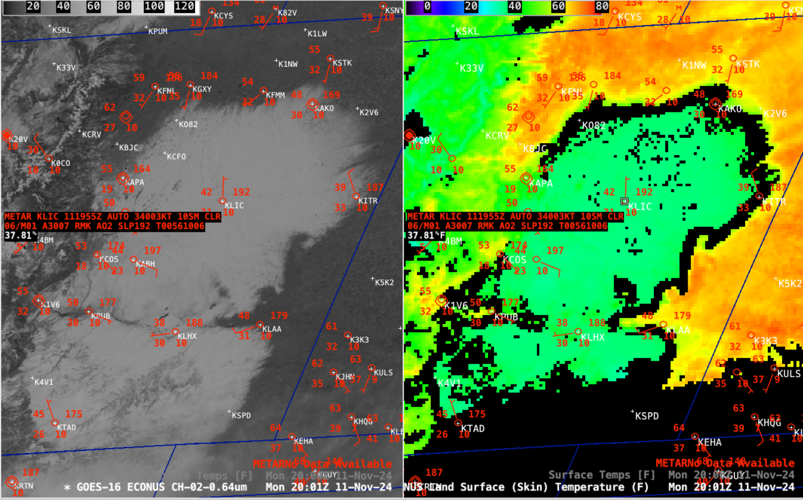
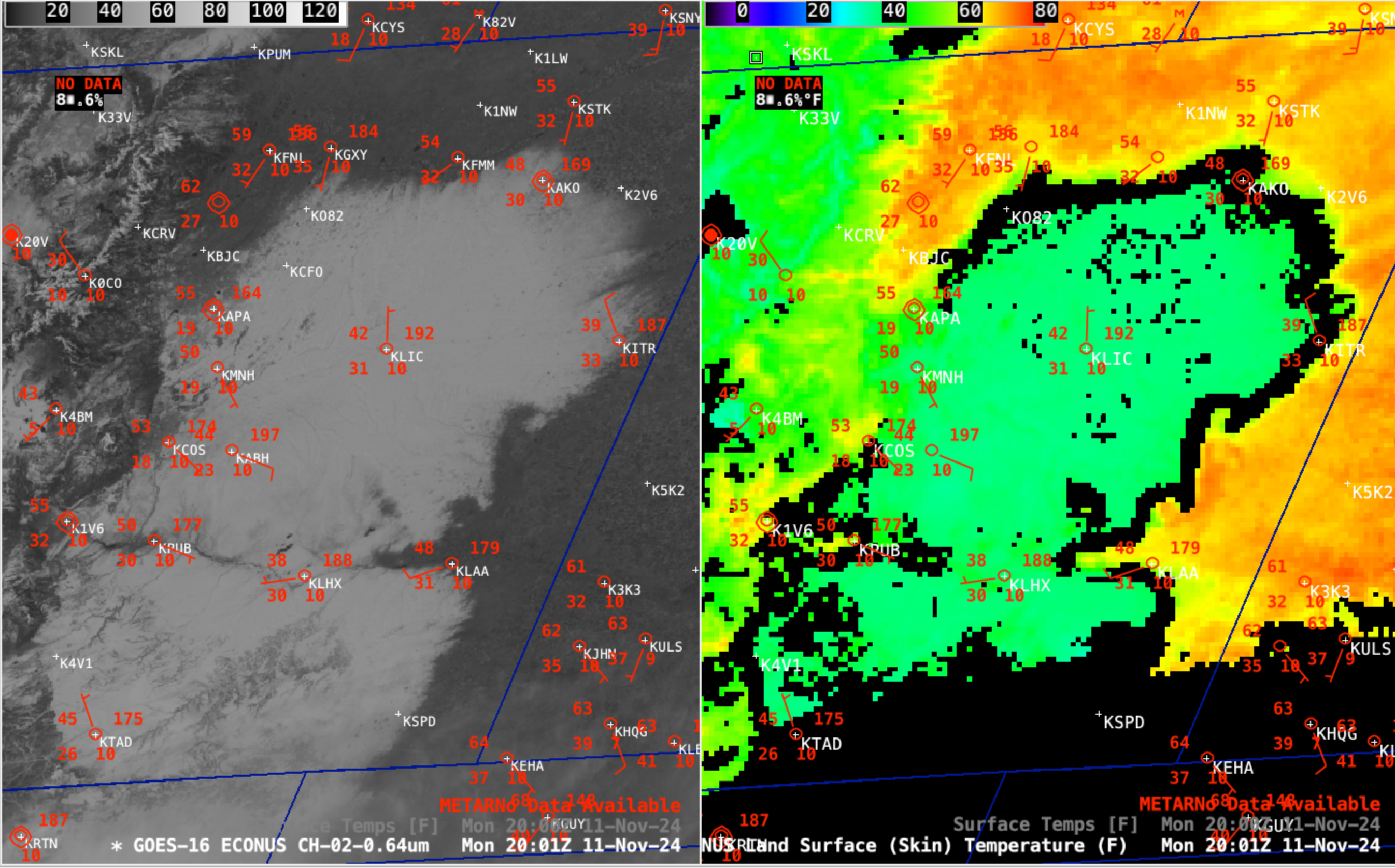
GOES-16 (GOES-East) Red Visible images and the Land Surface Temperature derived product (above) showed a large area of relatively fresh snow cover across the Plains of eastern Colorado on 11th November 2024 — this deep snow cover was the result of a closed upper-level low which moved across the area 2-3 days earlier, producing impressive accumulations. This significant snow cover was having a notable effect on surface air temperatures, keeping them anywhere from 10-20 F colder than adjacent areas of bare ground. Over interior areas with deeper snow cover, cursor sampling of the Land Surface Temperature at Limon (above) and at La Junta (below) revealed values in the mid 30s F. At locations along or near the edge of the snow cover, their surface air temperature was somewhat cooler if winds were blowing off the snow pack. This effect was very apparent at Burlington (KITR) along the eastern edge of the snow cover, with cool NW winds keeping their air temperature in the upper 30s F (below).Categories: Cryosphere, GOES-16, Winter weather