Tornadoes and damaging winds along a cold front across southeast Wisconsin
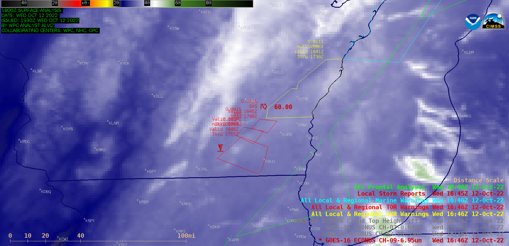
GOES-16 (GOES-East) Mid-level Water Vapor (6.9 µm) images shown above were centered over southeast Wisconsin during a period when tornadoes and damaging winds (NWS Milwaukee summary) occurred on 12 October 2022. Of note in the Water Vapor imagery was a narrow southwest-to-northeast oriented “warm/dry” (darker shades of blue) feature that appeared to align with the... Read More
