Tornadoes and damaging winds along a cold front across southeast Wisconsin
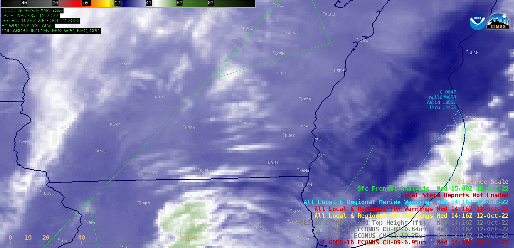
GOES-16 Mid-level Water Vapor (6.9 µm) images with plots of NWS Warning Polygons, Local Storm Reports and Surface Fronts [click to play animated GIF | MP4]
The corresponding GOES-16 “Red” Visible (0.64 µm) images (below) include overlays of GLM Flash Extent Density — no satellite-detected lightning activity was seen in this area during the time of the tornado and damaging wind reports.
GOES-16 “Red” Visible (0.64 µm) images, with overlays of GLM Flash Extent Density [click to play animated GIF | MP4]
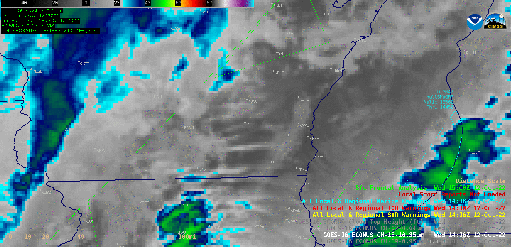
GOES-16 “Clean” Infrared Window (10.3 µm) images [click to play animated GIF | MP4]

GOES-16 Cloud Top Phase derived product [click to play animated GIF | MP4]
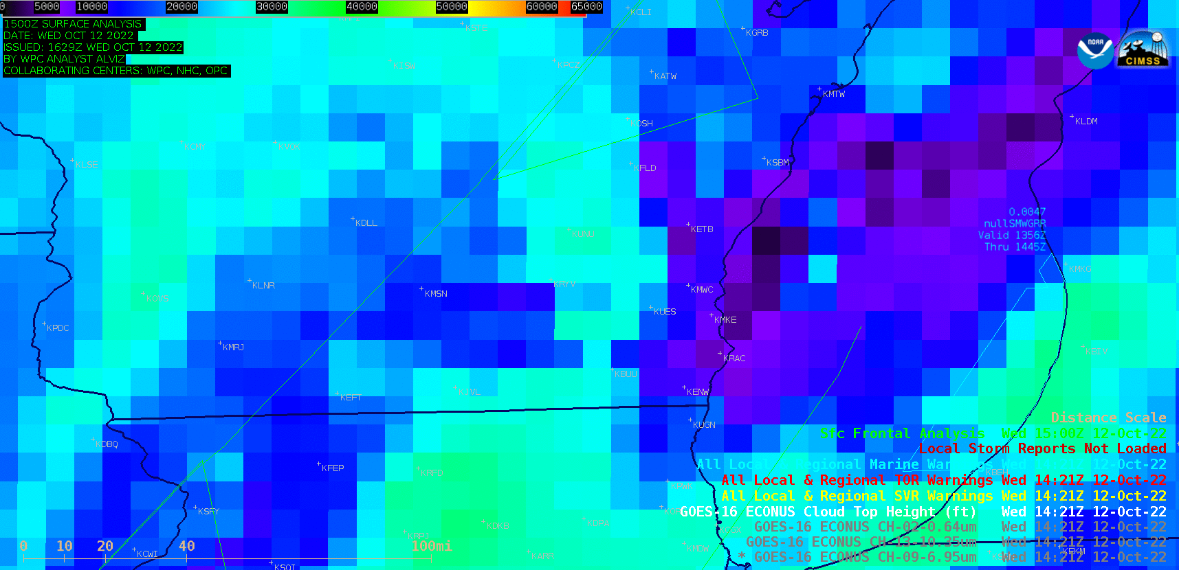
GOES-16 Cloud Top Height derived product [click to play animated GIF | MP4]
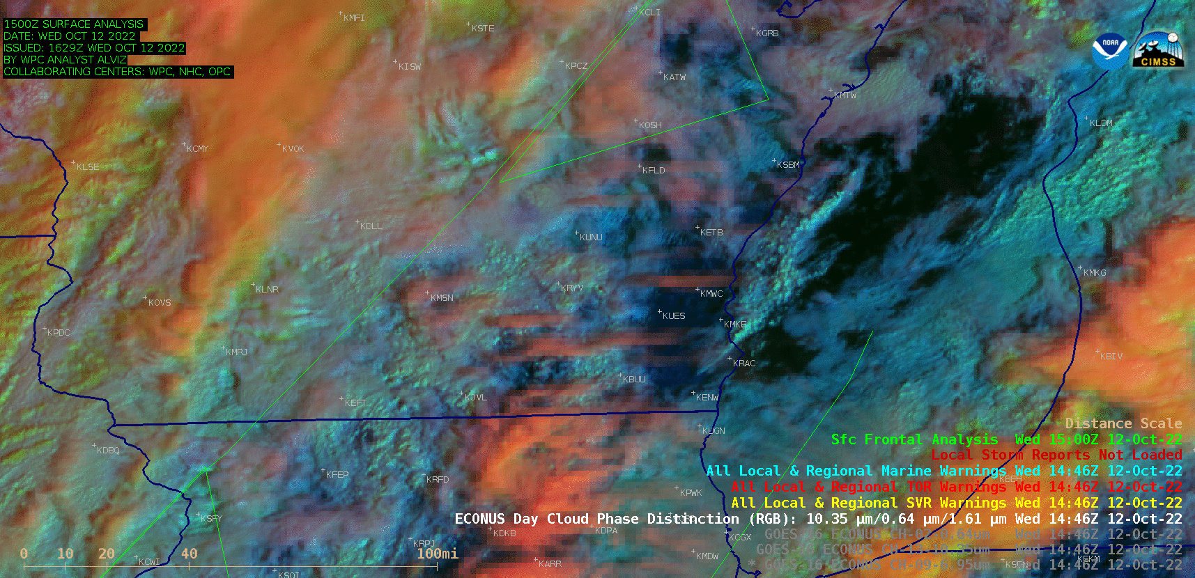
GOES-16 Day Cloud Phase Distinction RGB images [click to play animated GIF | MP4]