Lake Michigan mesovortex
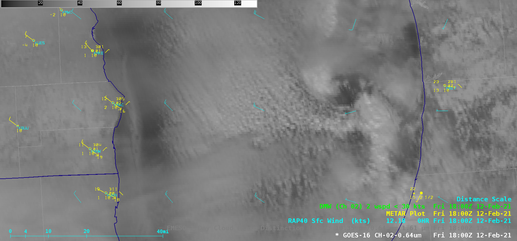
1-minute Mesoscale Domain Sector GOES-16 (GOES-East) “Red” Visible (0.64 µm) and Day Cloud Phase Discrimination RGB images (above) showed the development of a mesovortex over southern Lake Michigan on 12 February 2021. The surface flow supporting the mesovortex formation was well-depicted by hourly RAP40 model output. Note that there was a lack of GOES-16 Visible (Band 2) Derived Motion Winds created... Read More
