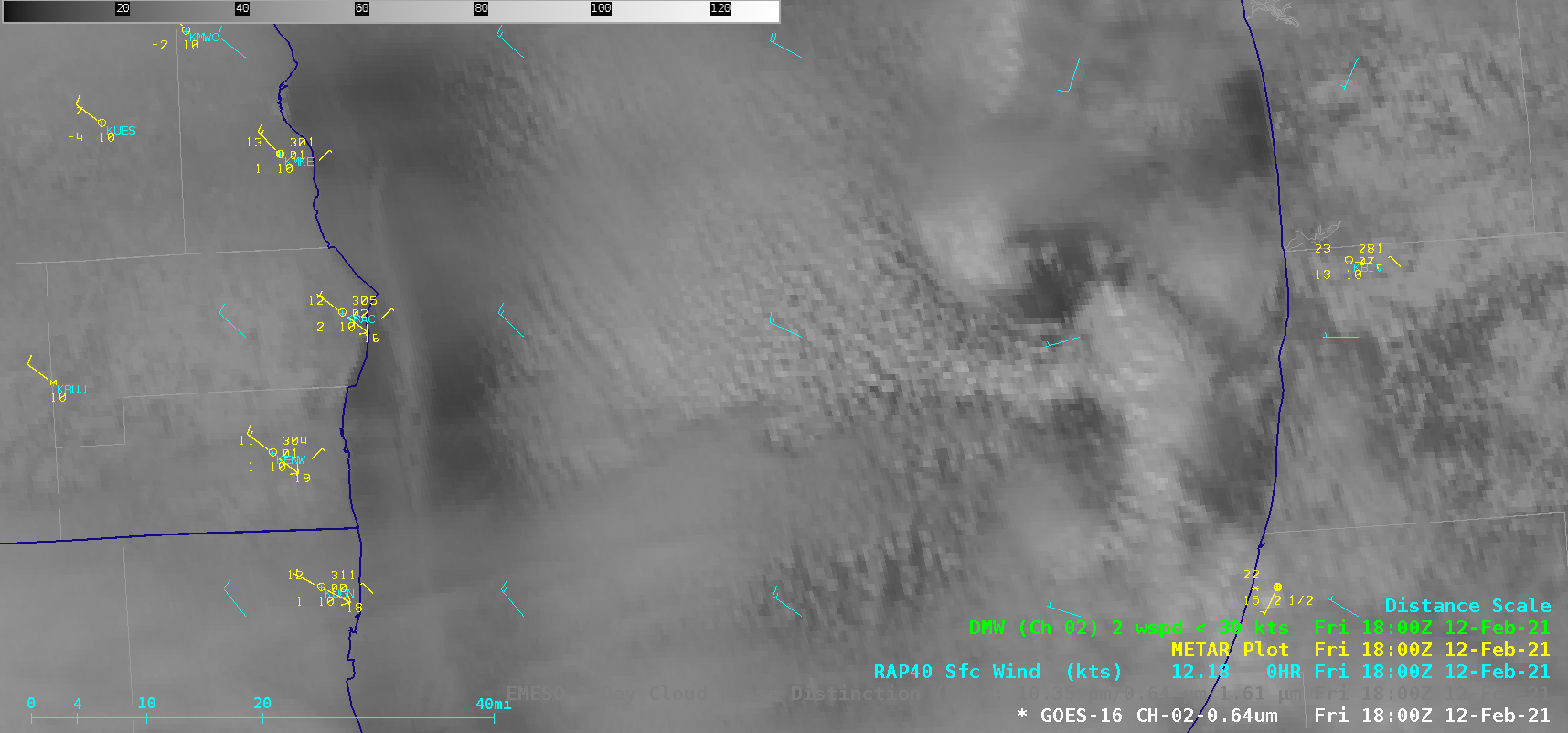
Lake Michigan mesovortex

GOES-16 “Red” Visible (0.64 µm) and Day Cloud Phase Discrimination RGB images [click to play animation | MP4]
The GOES-16 Day Cloud Phase Discrimination RGB images indicated that convective cloud elements near the vortex center were becoming glaciated (as highlighted by brighter shades of green) — and light snow reduced the surface visibility to 2.5 miles at Holland, Michigan (KBIV) as the vortex moved inland. A toggle between GOES-16 Visible and Day Cloud Phase Discrimination RGB images at 1800 UTC is shown below.


![GOES-16 "Red" Visible (0.64 µm) and Day Cloud Phase Discrimination RGB images at 1800 UTC [click to enlarge]](https://cimss.ssec.wisc.edu/satellite-blog/images/2021/02/210212_1800utc_visible_dayCloudPhaseDiscriminationRGB_Lake_Michigan_mesovortex_anim.gif)