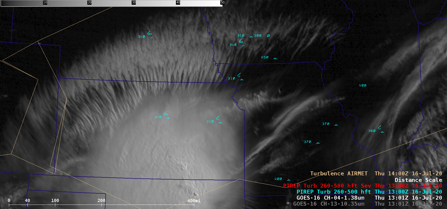
Turbulence associated with transverse banding

As a Mesoscale Convective System (MCS) over Kansas and Oklahoma decayed during the morning hours of 16 July 2020, GOES-16 (GOES-East) “Clean” Infrared Window (10.35 µm) and Near-Infrared “Cirrus” (1.38 µm) images (above) depicted widespread transverse banding — tendrils of cirrus clouds oriented perpendicular to the upper-tropospheric wind flow — along the northern periphery of the MCS.... Read More


