Chesapeake Bay effect snow in North Carolina
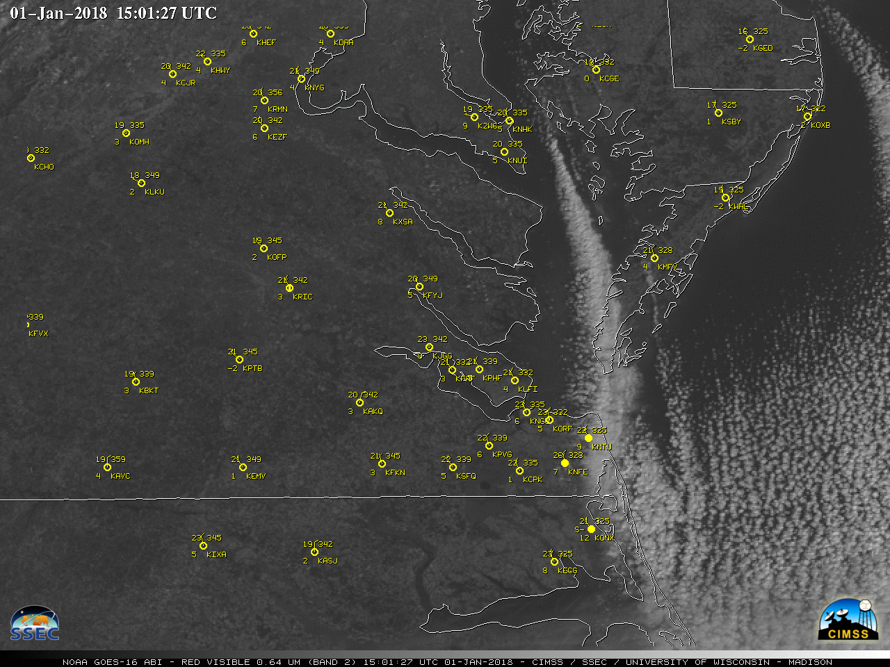
Suomi NPP VIIRS Day/Night Band (0.7 µm) and Infrared Window (11.45 µm) images (above) showed a well-defined Chesapeake Bay “streamer” cloud at 0710 UTC or 3:10 AM local time on 01 January 2018. This cloud feature resulted from the flow of unusually-cold air over the relatively warm water of the bay —... Read More
