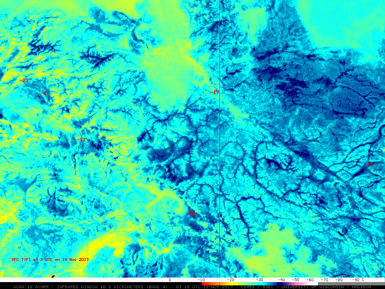
Cyclone Numa in the Mediterranean Sea

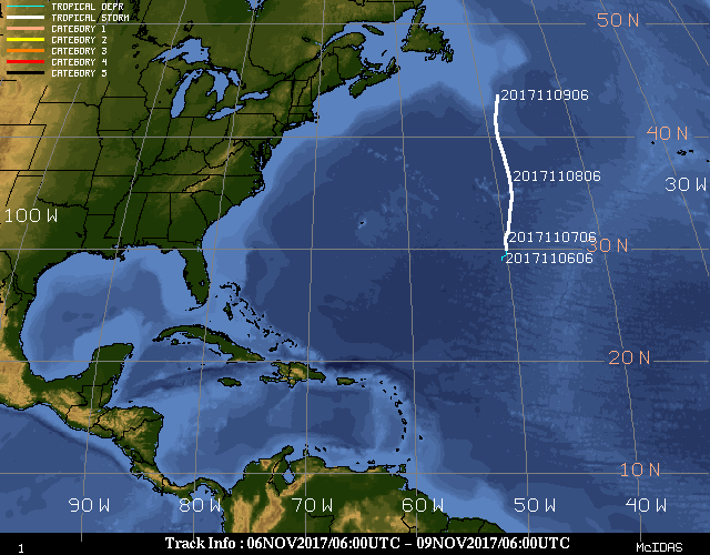
A toggle between Terra MODIS and Suomi NPP VIIRS Red-Green-Blue (RGB) images, viewed using RealEarth (above), revealed the well-defined eye structure of Cyclone Numa over the Ionian Sea (between Italy and Greece) on 18 November 2017. Tracing its origin back to the remnants of Tropical Storm Rina (track), Cyclone Numa had acquired subtropical... Read More
