Lake effect and river effect clouds in northeastern Montana
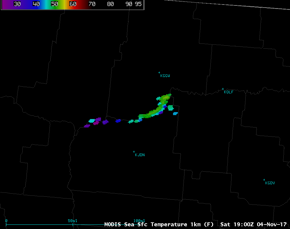
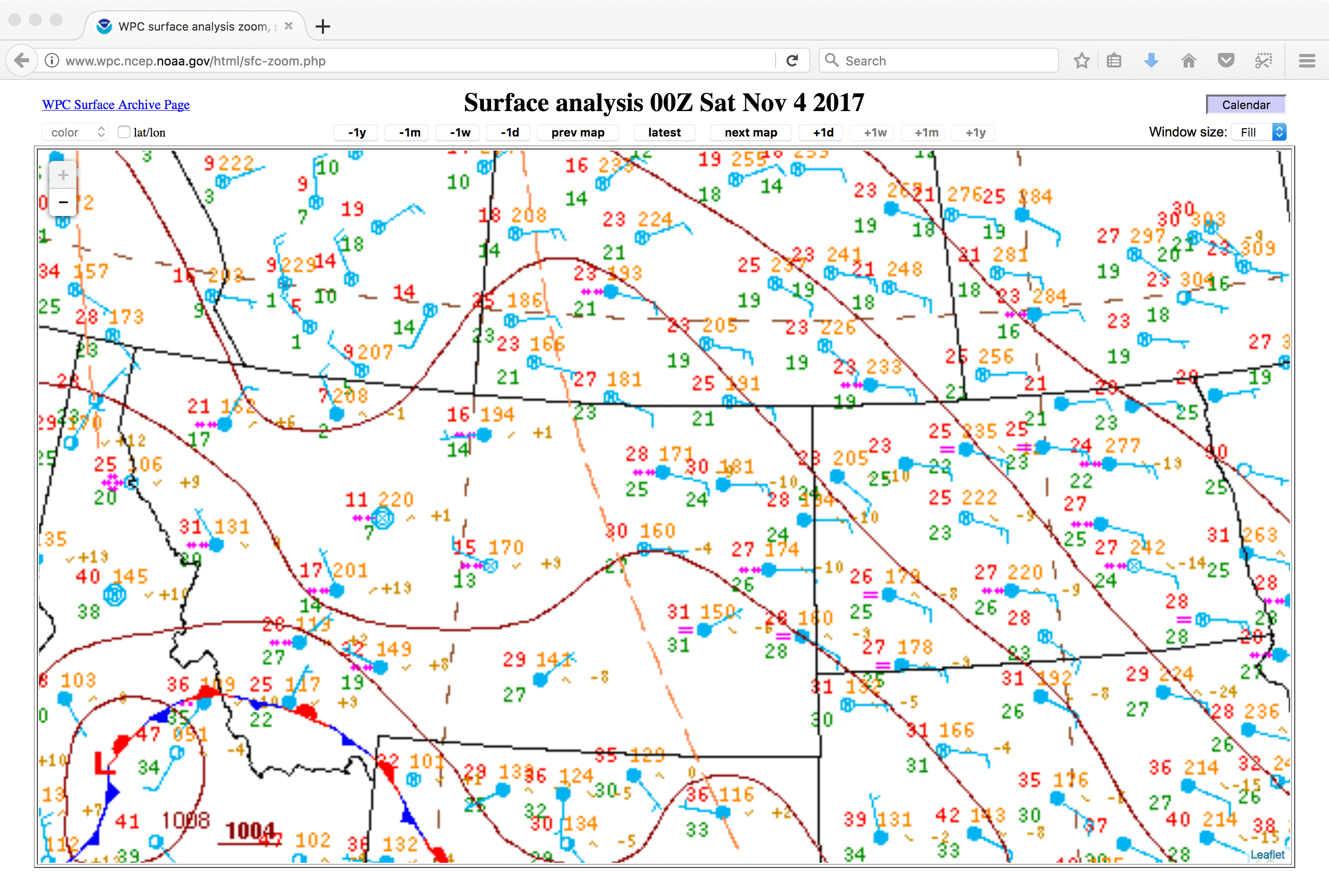
* GOES-16 data posted on this page are preliminary, non-operational and are undergoing testing *As arctic air began to spread eastward across Montana — where the coldest temperature in the US was -12ºF — behind an inverted trough (surface analyses) on 04 November 2017, GOES-16 “Red” Visible (0.64 µm) and Near-Infrared “Snow/Ice” (1.61 µm) images... Read More
