Localized heavy rainfall and flooding in south-central Wisconsin

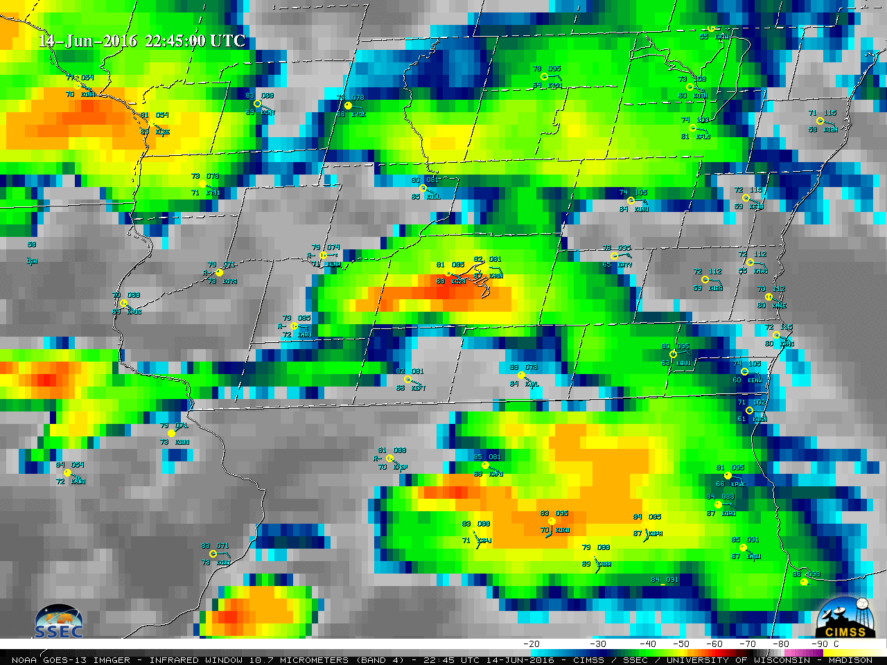
GOES-13 Infrared Window (10.7 µm) images (above) showed the development of several rounds of deep convection which moved over parts of southern Wisconsin during the 14 June – 15 June 2016 period; these storms were responsible for heavy rainfall at some locations (NWS Milwaukee summary). As mentioned in a WPC Mesoscale Precipitation Discussion, some of these storms... Read More


