The influence of Lake Michigan on Lake Erie lake effect snows
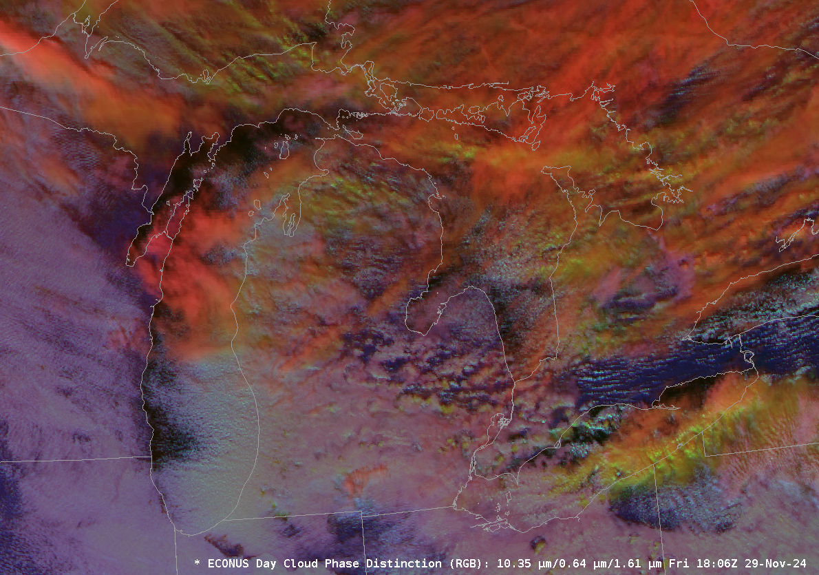
Cold air over the Great Lakes (see the plot of 850-mb temperature from RAOB stations at 1200 UTC below; note the similarity in temperatures and wind speeds over the Great Lakes states) means Lake Effect Snow. The animation above (source) shows snow bands over western lower Michigan and also downwind... Read More


