Strong winds and blowing dust across Nebraska, Kansas, and Oklahoma
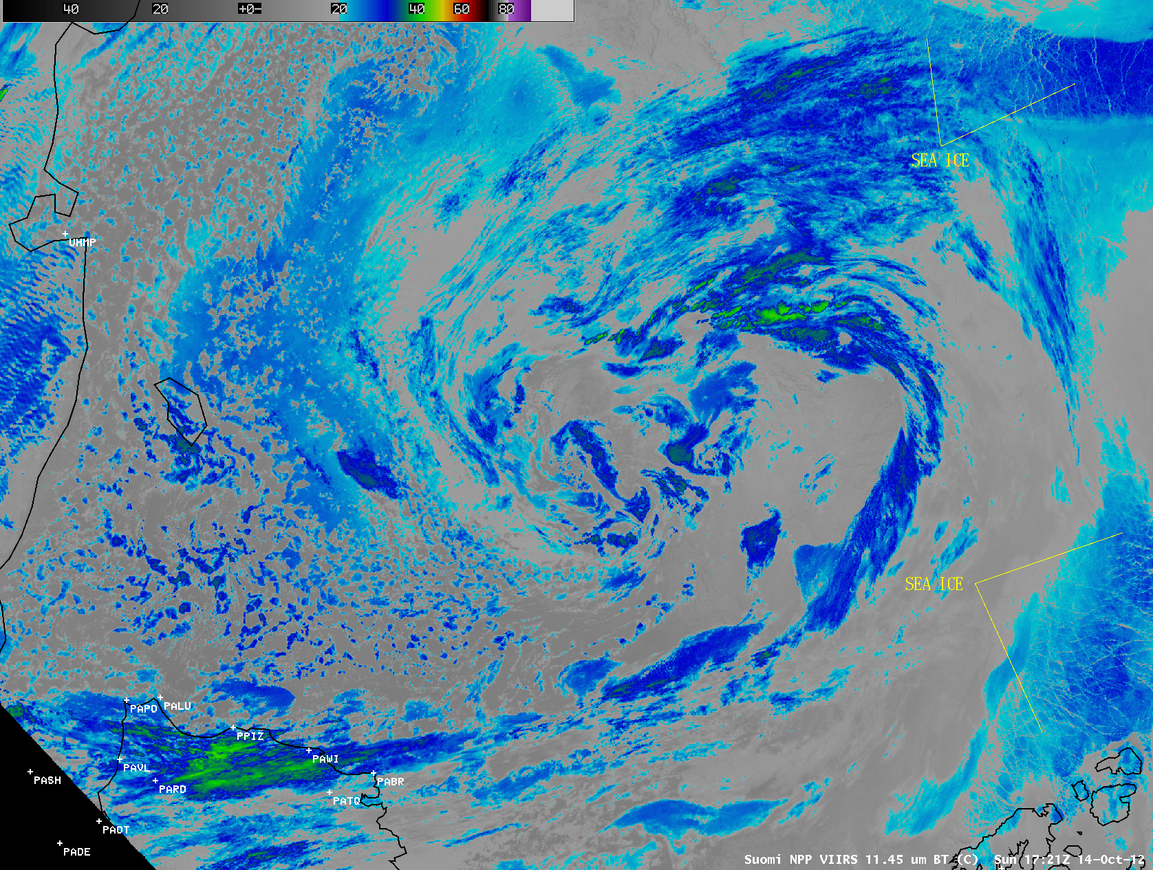
AWIPS images of Suomi NPP VIIRS 0.64 µm visible channel data (above) showed the hazy signature of a dense plume of blowing dust along the southwestern periphery of a large mid-latitude cyclone that was centered over Minnesota and Wisconsin on 18 October 2012.... Read More
