Monsoon low over northwestern Australia
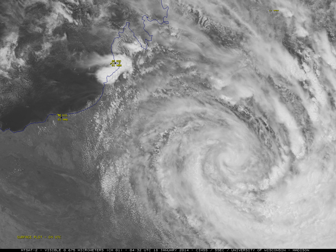
McIDAS images of MTSAT-2 daytime 0.675 µm visible channel data and night-time 10.8 µm IR channel data (above; click image to play animation; also available as an MP4 animation) showed a monsoon low which exhibited a well-defined circulation for several days as it... Read More