Cyclone Ian in the South Pacific Ocean
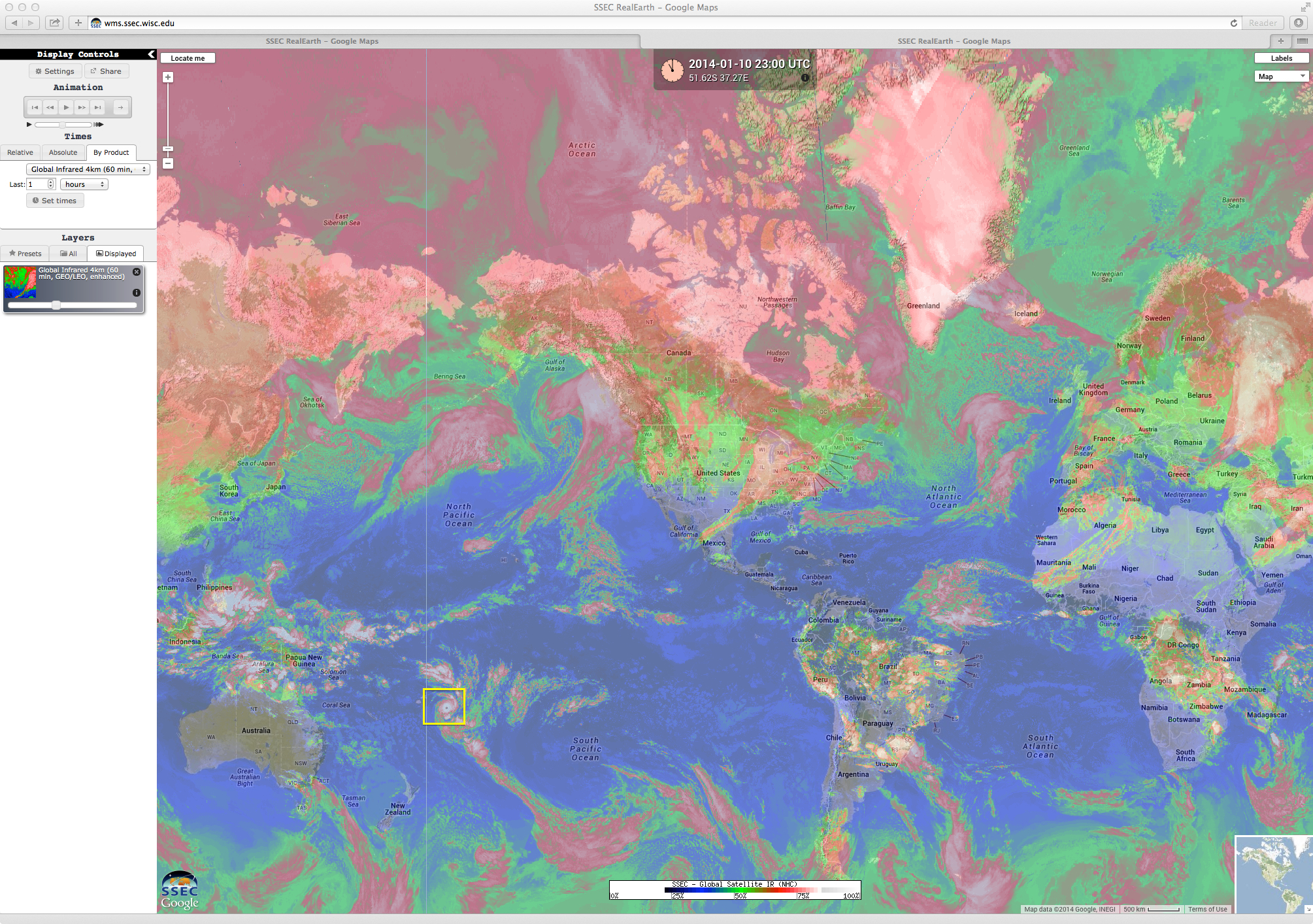
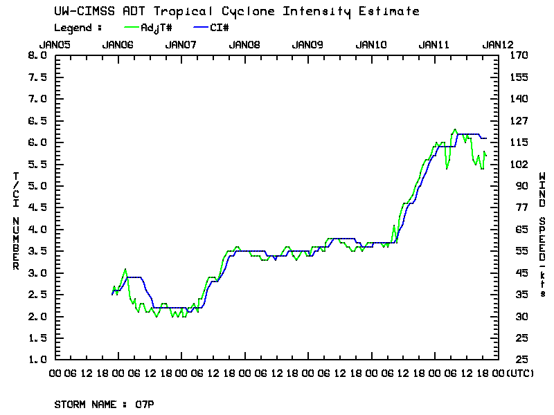
Looking at a global composite of IR imagery from the SSEC RealEarth web map server (above), Cyclone Ian (07 P) in the South Pacific Ocean was a rather compact storm — however, a time series plot of the Advanced Dvorak Technique (below) showed that Cyclone Ian experienced a period of rapid intensification to Category 4 strength on 10 January 2014 (21 UTC Joint Typhoon Warning Center advisory).
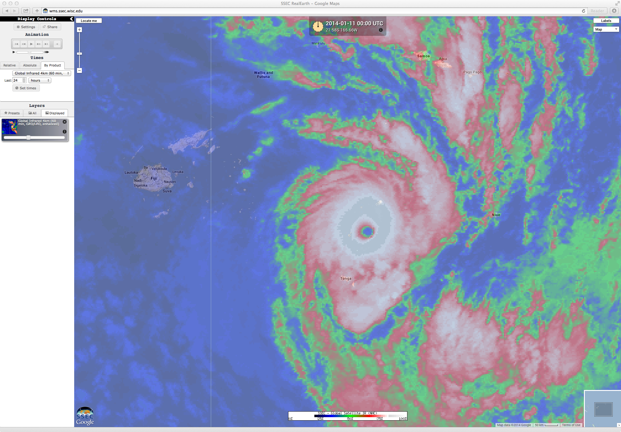
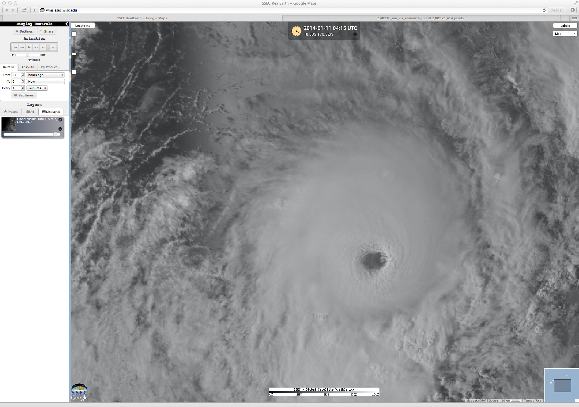
SSEC RealEarth IR imagery (above; click image to play animation) and visible imagery (below; click image to play animation) showed the well-defined eye that was exhibited by Cyclone Ian during this period of rapid intensification on 10 January, as the storm moved slowly south-southeastward across the island nation of Tonga.
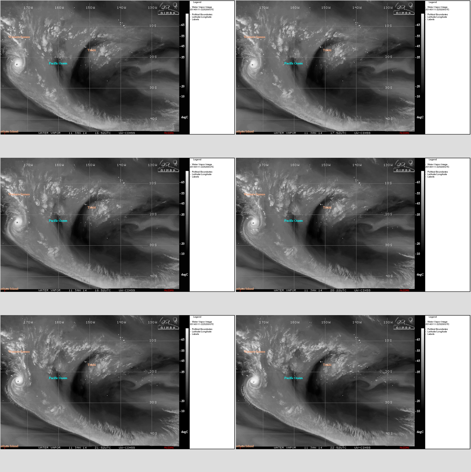
On 11 January, water vapor channel imagery from the CIMSS Tropical Cyclones site (below) showed the continuation of the impressive channel of poleward outflow from Cyclone Ian, which was enhanced by the presence of a mid-latitude trough passing to the south of the tropical cyclone.


