Using NUCAPS to help nowcast Midwest convection
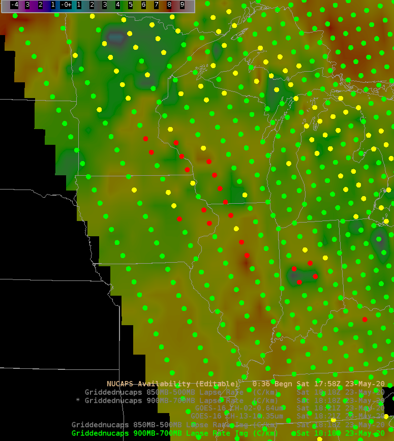
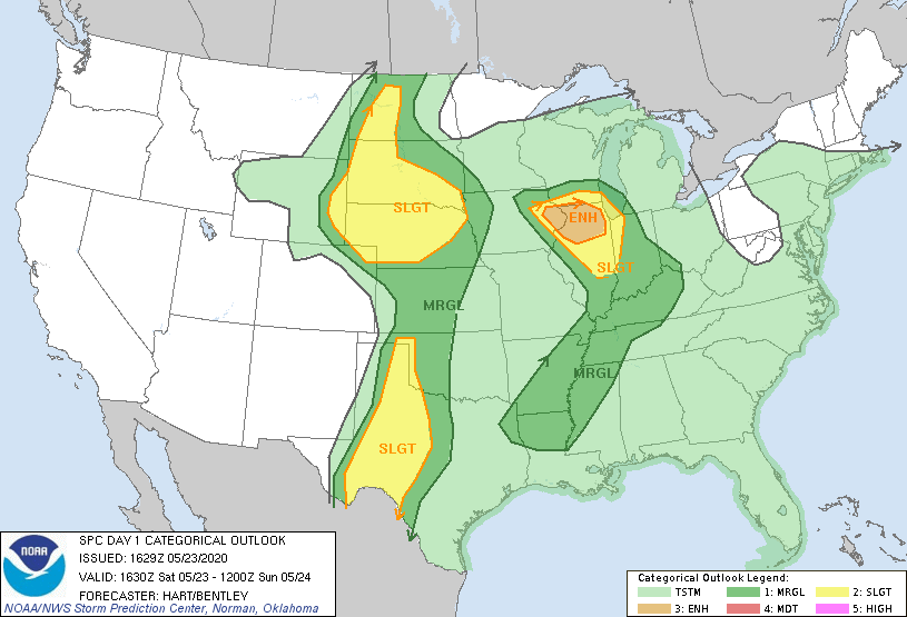
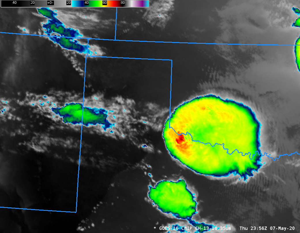
The NOAA Storm Prediction Center’s Convective Outlook (graphic) from 1630 UTC 23 May 2020 shows an enhanced risk of Severe Thunderstorms in northern Illinois with a sharp cutoff in probabilities to the north in southern Wisconsin. The imagery above shows the GOES-16 ABI Band 2 (0.64 µm) visible imagery (click... Read More
