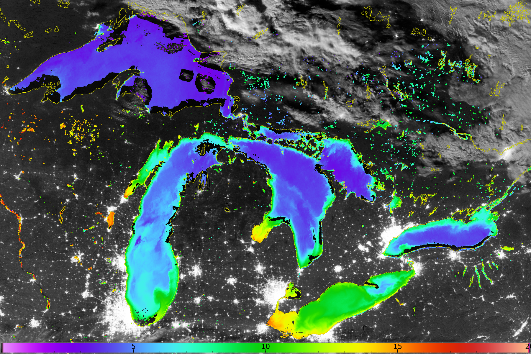
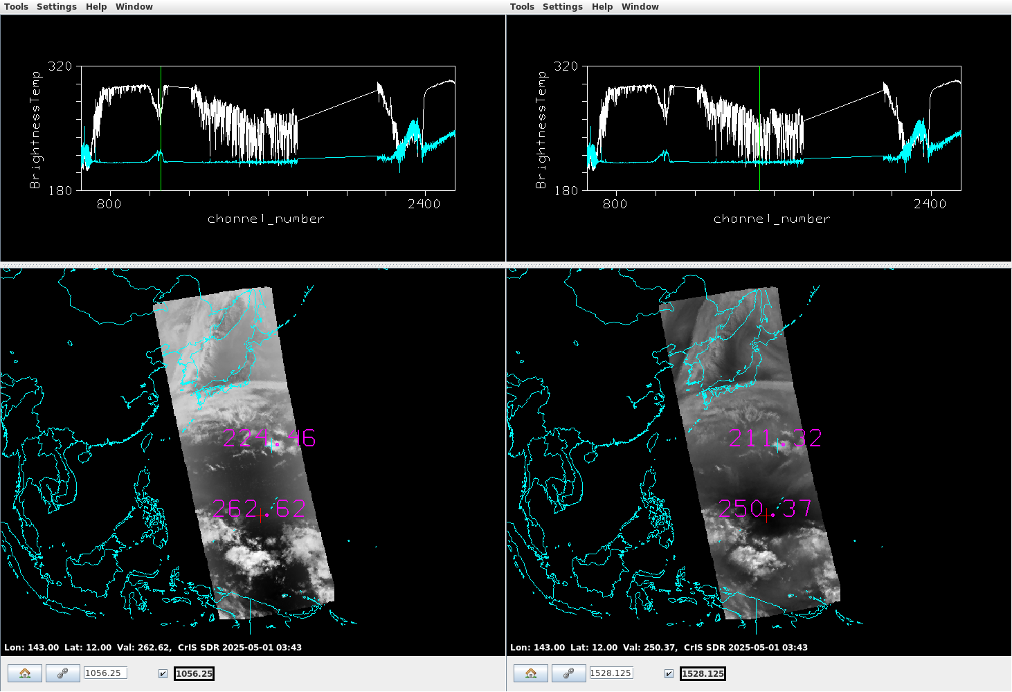
This website works best with a newer web browser such as Chrome, Firefox, Safari or Microsoft Edge. Internet Explorer is not supported by this website.

Category: Training

Blowing snow signature over northern Hudson Bay

At the CIMSS Satellite Blog, we occasionally get emails from our readers. Yesterday’s (6 February 2024) email included this one: I was doing some forecasting for the Canadian Arctic today and noticed a veryimpressive blowing snow signature on satellite; not that blowing snow isuncommon up there, but rather that the... Read More

Using CSPP’s polar2grid to create mappings of sea-surface temperature

The Community Satellite Processing Package (CSPP) allows a user to manipulate VIIRS data to create high-quality, full-resolution imagery (see, for example, this I05 example, and this Day Night Band example, and this I01 example). In addition to single-band images, imagery for products such as Advanced Clear Sky Processor for Ocean (ACSPO) sea-surface temperatures (SSTs) can also be created, as shown above. Polar2grid software... Read More